
Cemetery #181999
Kamýk nad Vltavou-Drážkov Jewish Cemetery
Local name: Židovský hřbitov Kamýk nad Vltavou-Drážkov
Also known as Židovský hřbitov, Radov · Židovský hřbitov v Drážkově
2
documented records
≈ 55–110
approx. capacity (graves)
2,770 m²
cemetery area
Oct 18, 2026
last modified
About this cemetery
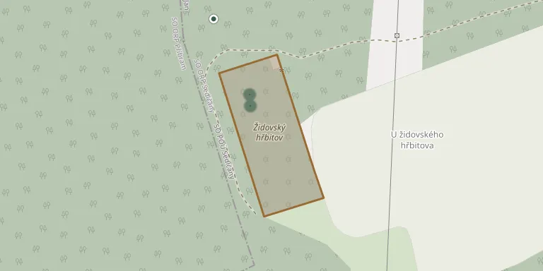
Although older literature placed it in the territory of Kamýk nad Vltavou, this Jewish cemetery lies about 2 km from the village of Drážkov, at the edge of a forest near the Radobyl farm, in the cadastral area of Řadovy. It was probably founded around 1680, and the oldest legible gravestone dates from 1681. In the 1990s the site was cleared of overgrowth and reconstruction of the whole area began.
Cemetery location
GPS: GPS coordinates: 49.635610° N, 14.268670° E Directions in Google Maps (opens in a new tab)
Memorials
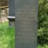
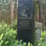
2 memorials, A–Z by last name.
Looking for someone who isn't listed? Request a photo.
Nearby cemeteries
The closest other burial grounds listed on EveryStone.
- Kamýk nad Vltavou Cemetery 1.3 km away · Kamýk nad Vltavou
- Svatý Jan Cemetery 3.1 km away · Svatý Jan
- Krásná Hora nad Vltavou Cemetery 3.7 km away · Krásná Hora nad Vltavou
- Hříměždice Cemetery 5.5 km away · Hříměždice
- Dublovice Cemetery 7.4 km away · Dublovice · 3 records
- Dolní Hbity Cemetery 7.5 km away · Dolní Hbity
- Počepice Cemetery 9.0 km away · Počepice
- Kovářov Cemetery 9.3 km away · Lašovice
- Smolotely Cemetery 9.3 km away · Smolotely
- Předbořice Cemetery 9.6 km away · Předbořice
Contribute with the app
Our website works smoothly on both desktop and mobile devices. Prefer a native app? Check it out below.
- Capture clear headstone photos
- Save GPS grave locations automatically
- Transcribe inscriptions with our AI
- Suggest corrections to existing records
Common questions
How big is Kamýk nad Vltavou-Drážkov Jewish Cemetery?
Kamýk nad Vltavou-Drážkov Jewish Cemetery covers about 2,770 m² (0.7 acres), about the size of 11 tennis courts. It is the 418th largest of the 906 cemeteries we list in Central Bohemian Region.
What is the oldest grave in this cemetery?
The oldest grave among the records we hold for Kamýk nad Vltavou-Drážkov Jewish Cemetery is that of Josefine Pasch, who died on July 17, 1896 at the age of 70.