
Cemetery #182028
Horní Jelení Cemetery
Local name: Hřbitov Horní Jelení
Also known as Cemetery in Horní Jelení
52
documented records
≈ 380–750
approx. capacity (graves)
0.019 km²
cemetery area
Nov 5, 2026
last modified
About this cemetery
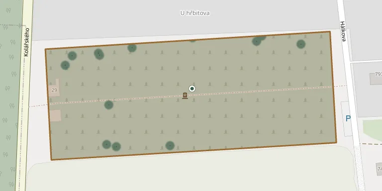
The cemetery lies on Kolářského street, which is road 305, just south of the town of Horní Jelení.
Cemetery location
GPS: GPS coordinates: 50.041872° N, 16.084355° E Directions in Google Maps (opens in a new tab)
Memorials
Showing the first 50 of 52, A–Z by surname. Search all records
 Václav Baťa ? – 1926
- Františka Baťová 1881 – 1974
 Antonín Bečička 1843 – 1919
- František Bečička 1869 – 1946
- František Bečička 1898 – 1979
- Barbora Bečičková 1842 – 1921
- Marie Bečičková 1899 – 1977
- Marie Bečičková 1870 – 1941
 Josef Cejp 1903 – 1978
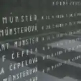 Josef Čepela 1898 – 1974
- Františka Čepelová 1904 – 1992
- Libuše Husárová 1928 – 1967
- Milenka Husárová 1957 – 1965
- Josef Janeba 1857 – 1902
- Věra Jarušeková 1925 – 2015
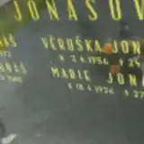 František Jonáš 1887 – 1972
- Vladimír Jonáš 1920 – 2005
- Marie Jonášová 1926 – 1998
- Věruška Jonášová 1956 – 1957
 Josef Kábele 1914 – 1988
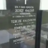 Josef Kalous 1853 – 1933
- Norbert Kalous 1927 – 2009
- Stanislav Kalous 1889 – 1964
- Marie Kalousová 1893 – 1973
- Terezie Kalousová 1862 – 1953
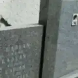 Jan Kaplan 1881 – 1921
- Jindřich Kaplan 1861 – 1916
- Josef Kaplan 1892 – 1927
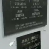 František Knížek 1891 – 1945
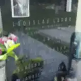 Ladislav Láska 1909 – 1929
- Václav Láska 1880 – 1954
- Marie Lásková 1882 – 1949
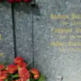 Vasiliy Libik 1917 – 1945
- František Loskot ? – 1927
- Marie Loskotová ? – 1945
- Jaroslav Müller 1904 – 1990
- Blažena Müllerová 1907 – 1978
- Frantisek Münster 1911 – 1975
- Jan Münster 1886 – 1955
- Hedvika Münsterová 1882 – 1965
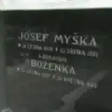 Josef Myška 1866 – 1931
- Boženka Myšková 1897 – 1910
- František Novák 1895 – 1973
- Jan Novák 1872 – 1950
- Ladislav Novák 1913 – 1935
- Marie Nováková 1871 – 1950
- Růžena Nováková 1889 – 1969
 Josef Stránik 1894 – 1988
- Marie Straníková 1895 – 1972
 Kamil Tilser 1876 – 1917
Looking for someone who isn't listed? Request a photo.
Nearby cemeteries
The closest other burial grounds listed on EveryStone.
- Veliny Cemetery 3.5 km away · Veliny
- Veliny Cemetery, Log Church of St. Nicholas 4.0 km away · Veliny · 6 records
- Ostřetín Cemetery 4.0 km away · Ostřetín
- Čermná nad Orlicí Cemetery 4.6 km away · Čermná nad Orlicí · 35 records
- Újezd u Chocně Cemetery 5.9 km away · Újezd u Chocně
- Borohrádek Cemetery 6.1 km away · Borohrádek · 80 records
- Radhošť Cemetery 6.2 km away · Radhošť
- Zámrsk Cemetery 6.5 km away · Zámrsk · 43 records
- Borohrádek-Šachov Cemetery 6.6 km away · Borohrádek · 7 records
- Holice Jewish Cemetery 7.2 km away · Holice
Contribute with the app
Our website works smoothly on both desktop and mobile devices. Prefer a native app? Check it out below.
- Capture clear headstone photos
- Save GPS grave locations automatically
- Transcribe inscriptions with our AI
- Suggest corrections to existing records
Common questions
How big is Horní Jelení Cemetery?
Horní Jelení Cemetery covers about 19,000 m² (4.6 acres), about the size of 3 soccer fields. It is the 14th largest of the 393 cemeteries we list in Pardubice Region.
What is the oldest grave in this cemetery?
The oldest grave among the records we hold for Horní Jelení Cemetery is that of Josef Janeba, who died on July 4, 1902 at the age of 45.