
Cemetery #182124
Jablonné v Podještědí Cemetery, Heřmanice v Podještědí
Local name: Hřbitov Jablonné v Podještědí, Heřmanice v Podještědí
Also known as Hřbitov Heřmanice v Podještědí
24
documented records
≈ 59–120
approx. capacity (graves)
2,930 m²
cemetery area
Nov 5, 2026
last modified
About this cemetery
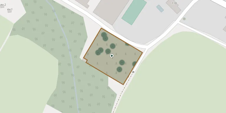
Jablonné v Podještědí Cemetery, Heřmanice v Podještědí lies in Liberec Region, Czechia.
Cemetery location
GPS: GPS coordinates: 50.793630° N, 14.723190° E Directions in Google Maps (opens in a new tab)
Memorials
24 memorials, A–Z by surname.
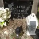 Anna Fuxová 1910 – 1978
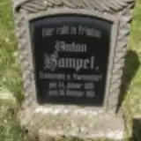 Anton Hampel 1880 – 1910
 Martha Heidrich 1912 – 1945
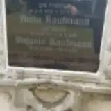 Anna Kaufmann 1838 – 1917
- Anna Kaufmann 1871 – 1938
- Antonia Kaufmann 1869 – 1939
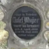 Josef Mayer 1859 – 1909
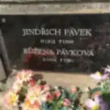 Růžena Pávková 1904 – 1980
 Josef Pech 1860 – 1923
- Theresia Pech 1859 – 1940
- Anna Pyhan 1892 – 1934
- Gisela Pyhan 1916 – 1938
 Anna Renger 1826 – 1903
- Ellchen Scholz 1907 – 1907
- Maria Scholz ? – 1913
- Wenzel Scholz 1850 – 1906
- Wilhelm Scholz 1883 – 1911
- Marie Tölzel 1884 – 1936
 Marie Tölzel 1856 – 1918
 Břetislav Tondr 1928 – 1982
- Břetislav Tondr 1960 – 2015
- Jiří Tondr 1947 – 1996
- Jiřina Tondrová 1931 – 1993
- Wenzel Wieden 1851 – 1931
Looking for someone who isn't listed? Request a photo.
Nearby cemeteries
The closest other burial grounds listed on EveryStone.
- Lada Ukrainian War Cemetery 1918 2.6 km away · Lada
- Mařenice Cemetery 3.5 km away · Mařenice
- Mařeničky Cemetery 3.5 km away · Mařeničky
- Petrovice Cemetery 3.6 km away · Petrovice
- Kunratice u Cvikova Cemetery 3.9 km away · Kunratice u Cvikova
- Krompach Cemetery 4.0 km away · Krompach
- Jablonné v Podještědí Cemetery 4.0 km away · Jablonné v Podještědí
- Lückendorf Village Church and Churchyard 4.8 km away · Luftkurort Lückendorf
- Cvikov Cemetery, Trávník near Cvikov 4.9 km away · Cvikov
- Cvikov Cemetery 5.3 km away · Drnovec
Contribute with the app
Our website works smoothly on both desktop and mobile devices. Prefer a native app? Check it out below.
- Capture clear headstone photos
- Save GPS grave locations automatically
- Transcribe inscriptions with our AI
- Suggest corrections to existing records
Common questions
How big is Jablonné v Podještědí Cemetery, Heřmanice v Podještědí?
Jablonné v Podještědí Cemetery, Heřmanice v Podještědí covers about 2,930 m² (0.7 acres), about the size of 11 tennis courts. It is the 133rd largest of the 309 cemeteries we list in Liberec Region.
What is the oldest grave in this cemetery?
The oldest grave among the records we hold for Jablonné v Podještědí Cemetery, Heřmanice v Podještědí is that of Anna Renger, who died on August 4, 1903 at the age of 77.