
Cemetery #182149
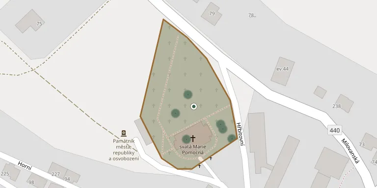
Potštát-Horní Předměstí Cemetery
Local name: Hřbitov Potštát-Horní Předměstí
20
documented records
≈ 110–220
approx. capacity (graves)
5,620 m²
cemetery area
Nov 5, 2026
last modified
About this cemetery
Potštát-Horní Předměstí Cemetery lies in Olomouc Region, Czechia.
Cemetery location
GPS coordinates: 49.639923° N, 17.650533° E Directions in Google Maps (opens in a new tab)
Memorials
20 memorials, A–Z by surname.
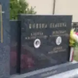 Josef Glac 1953 – 2017
- Miroslav Glac 1925 – 2015
- Cisela Glacová 1920 – 1988
 Adolf Jordan 1888 – 1909
- Amalie Jordan ? – 1917
 Josef Krumpholz ? – 1906
- Marie Krumpholz 1852 – 1916
- Rudolf Krumpholz ? – 1918
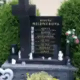 Adolf Mildner 1885 – 1954
- Adolf Mildner 1922 – 2020
- Adolf Mildner 1945 – 2014
- Lukáš Mildner 2008 – 2023
- Leopoldine Mildnerova 1926 – 2013
- Marie Mildnerova 1886 – 1973
- Danuše Mildnerová 1946 – 2023
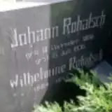 Johann Rohatsch 1866 – 1936
- Wilhelmine Rohatsch 1864 – 1945
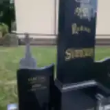 František Svoboda 1938 – 2015
- Kamil Svoboda 1964 – 2018
 Otto Tropper 1841 – 1878
Looking for someone who isn't listed? Request a photo.
Nearby cemeteries
The closest other burial grounds listed on EveryStone.
- Boškov Cemetery 3.0 km away · Potštát · 5 records
- Potštát-Lipná Cemetery 3.8 km away · Potštát · 10 records
- Partutovice Cemetery 4.3 km away · Partutovice
- Hranice-Středolesí Cemetery 4.3 km away · Hranice
- Luboměř Cemetery 6.1 km away · Luboměř · 52 records
- Jindřichov Cemetery 7.0 km away · Jindřichov
- Střítež nad Ludinou Cemetery 7.2 km away · Střítež nad Ludinou · 18 records
- Nová Ves nad Odrou Cemetery 7.8 km away · Nová Ves nad Odrou
- Lipník nad Bečvou-Podhoří na Moravě Cemetery 7.9 km away · Lipník nad Bečvou · 36 records
- Slavkov Former German Cemetery 9.0 km away · Slavkov
Contribute with the app
Our website works smoothly on both desktop and mobile devices. Prefer a native app? Check it out below.
- Capture clear headstone photos
- Save GPS grave locations automatically
- Transcribe inscriptions with our AI
- Suggest corrections to existing records
Common questions
How big is Potštát-Horní Předměstí Cemetery?
Potštát-Horní Předměstí Cemetery covers about 5,620 m² (1.4 acres), about the size of a soccer field. It is the 86th largest of the 413 cemeteries we list in Olomouc Region.
What is the oldest grave in this cemetery?
The oldest grave among the records we hold for Potštát-Horní Předměstí Cemetery is that of Otto Tropper, who died on February 15, 1878 at the age of 37.