
Cemetery #182529
Nebory Cemetery
Local name: Hřbitov Nebory
Also known as Evangelický hřbitov v Neborech
39
documented records
≈ 110–210
approx. capacity (graves)
5,360 m²
cemetery area
Nov 5, 2026
last modified
About this cemetery
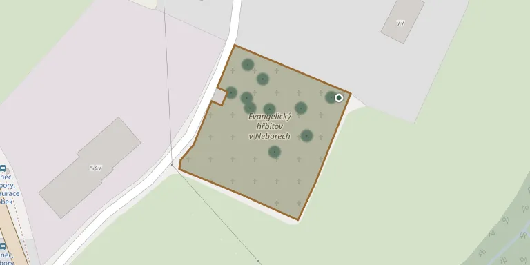
This Evangelical cemetery in the Nebory district of Třinec was founded around 1859. It lies on the edge of the district, near the border with the village of Ropice, and covers 5,294 square metres, not counting the plot with the bell tower. A historic 19th-century bell tower stands at the site.
Cemetery location
GPS coordinates: 49.682351° N, 18.614971° E Directions in Google Maps (opens in a new tab)
Memorials
39 memorials, A–Z by surname.
 Karel Banaš 1974 – 1977
- Karel Banaš 1937 – 2002
- Karel Banaš 1886 – 1945
- Emilie Banašová 1948 – 2010
- Marcela Banašová 1970 – 1977
 Helena Bieleszówa 1907 – 1978
 Pavel Cymorek 1897 – 1927
- Pavel Cymorek 1854 – 1913
- Anna Cymorková 1861 – 1938
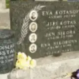 Ladislav Dostál 1950 – 1991
 Pavel Heczko 1890 – 1964
- Zuzanna Heczková 1898 – 1988
- Helena Kaziková 1918 – 1946
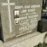 Jan Kisza 1894 – 1951
- Karel Kisza 1925 – 1997
- Emilie Kiszová 1930 – 2002
- Maria Kiszowa 1896 – 1978
- Jiří Kotas 1896 – 1976
- Eva Kotasová 1893 – 1974
 Anna Kowal 1865 – 1945
- Franciszek Kowal 1860 – 1932
- František Labuda 1915 – 1995
- Zuzanna Labudová 1921 – 1995
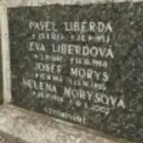 Pavel Liberda 1873 – 1953
- Eva Liberdová 1887 – 1968
- Josef Morys 1914 – 1985
- Helena Morysová 1924 – 2002
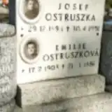 Josef Ostruszka 1894 – 1951
- Emilie Ostruszková 1903 – 1986
- Bieleszów Paweł 1909 – 2002
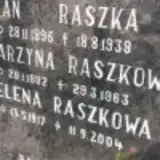 Jan Raszka 1895 – 1938
- Helena Raszkowa 1917 – 2004
- Katarzyna Raszkowa 1892 – 1963
- Jan Sikora 1911 – 1989
- Eva Sikorová 1917 – 1990
- Karel Spratek 1897 – 1983
- Pavel Spratek 1923 – 2014
- Eva Spratková 1900 – 1983
- Bohuslava Václavková 1925 – 2010
Looking for someone who isn't listed? Request a photo.
Nearby cemeteries
The closest other burial grounds listed on EveryStone.
- Ropice Evangelical Cemetery 990 m away · Nebory
- Konská Evangelical Cemetery 2.0 km away · Třinec · 10 records
- Guty Cemetery (Church of Corpus Christi) 2.5 km away · Třinec · 7 records
- Church of the Annunciation Churchyard, Ropice 2.5 km away · Ropice · 2 records
- Střítež Evangelical Cemetery 3.0 km away · Střítež · 39 records
- Střítež St. Michael the Archangel Churchyard 3.2 km away · Střítež · 33 records
- Guty Evangelical Cemetery 3.8 km away · Třinec · 32 records
- Smilovice Cemetery, Smilovice near Třinec 4.0 km away · Smilovice · 26 records
- Třinec - nový Folvark 4.1 km away · Třinec
- Třinec - starý Folvark 4.4 km away · Třinec · 17 records
Contribute with the app
Our website works smoothly on both desktop and mobile devices. Prefer a native app? Check it out below.
- Capture clear headstone photos
- Save GPS grave locations automatically
- Transcribe inscriptions with our AI
- Suggest corrections to existing records
Common questions
How big is Nebory Cemetery?
Nebory Cemetery covers about 5,360 m² (1.3 acres), about the size of a soccer field. It is the 138th largest of the 472 cemeteries we list in Moravian-Silesian Region.
What is the oldest grave in this cemetery?
The oldest grave among the records we hold for Nebory Cemetery is that of Pavel Cymorek, who died in 1913 at the age of 59.