
27
documented records
≈ 50–100
approx. capacity (graves)
2,500 m²
cemetery area
Nov 5, 2026
last modified
About this cemetery
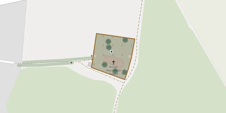
This cemetery was founded in 1720 and is enclosed by a high wall. It spreads around the Church of the Holy Trinity. A Baroque cemetery chapel, built around 1720, is set into the western section of the wall on the axis of the church.
Cemetery location
GPS coordinates: 49.394118° N, 15.734852° E Directions in Google Maps (opens in a new tab)
Memorials
27 memorials, A–Z by surname.
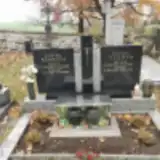 Václav Böhm 1935 – 2009
- Marie Böhmová 1929 – 1998
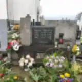 Arnošt Bruna 1935 – 2013
- Josef Bruna 1899 – 1980
- Josefa Brunová 1912 – 2004
- Žofie Brunová 1944 – 2022
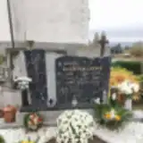 Josef Dohnal 1927 – 2017
- Josef Dohnal 1896 – 1959
- Julie Dohnalová 1904 – 1991
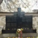 František Michal 1902 – 1956
- Václav Michal 1863 – 1936
- Kateřina Michalová 1871 – 1948
- Ladislav Prchal 1911 – 1967
- Liduška Prchalová 1959 – 1960
- Ludmila Prchalová 1911 – 1980
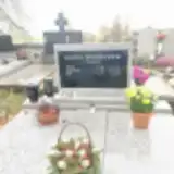 Antonie Rychtecká 1896 – 1983
- Jan Rychtecký 1940 – 2008
- Josef Rychtecký 1890 – 1972
- Čestmír Špejtek 1947 – 2017
- František Špejtek 1914 – 2003
- Emilie Špejtková 1909 – 1970
- Liduška Špejtková 1944 – 1944
- Milan Vlk 1957 – 2014
- Radek Vlk 1988 – 2015
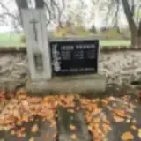 Josef Vokurka 1934 – 2006
- Matěj Vokurka 1901 – 1984
- Marie Vokurková 1902 – 1984
Looking for someone who isn't listed? Request a photo.
Nearby cemeteries
The closest other burial grounds listed on EveryStone.
- Luka nad Jihlavou Cemetery 3.0 km away · Luka nad Jihlavou · 64 records
- Jamné Cemetery near Jihlava 4.1 km away · Jamné
- Kamenice Cemetery 4.8 km away · Kamenice
- Puklice-Petrovice u Jihlavy Cemetery 5.2 km away · Puklice · 23 records
- Zhoř Cemetery, Zhoř u Jihlavy 6.0 km away · Zhoř u Jihlavy
- Střížov u Jihlavy Cemetery 6.0 km away · Brtnice · 47 records
- Puklice Cemetery 6.8 km away · Puklice
- Puklice Jewish Cemetery 6.9 km away · Puklice
- Ždírec Cemetery 8.0 km away · Ždírec
- Panská Lhota Cemetery 8.3 km away · Panská Lhota
Contribute with the app
Our website works smoothly on both desktop and mobile devices. Prefer a native app? Check it out below.
- Capture clear headstone photos
- Save GPS grave locations automatically
- Transcribe inscriptions with our AI
- Suggest corrections to existing records
Common questions
How big is Vysoké Studnice Cemetery?
Vysoké Studnice Cemetery covers about 2,500 m² (0.6 acres), about the size of 10 tennis courts. It is the 183rd smallest of the 374 cemeteries we list in Vysočina Region.
What is the oldest grave in this cemetery?
The oldest grave among the records we hold for Vysoké Studnice Cemetery is that of Václav Michal, who died on February 22, 1936 at the age of 72.