
7
documented records
≈ 58–120
approx. capacity (graves)
2,900 m²
cemetery area
Oct 18, 2026
last modified
About this cemetery
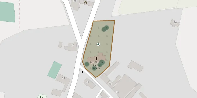
The cemetery in Špičky has been renovated in two stages of revitalisation.
Cemetery location
GPS coordinates: 49.551692° N, 17.807503° E Directions in Google Maps (opens in a new tab)
Memorials
7 memorials, A–Z by surname.
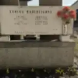 Julius Bartošík 1876 – 1959
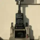 Anděla Doležálková 1886 – 1973
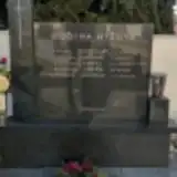 Karel Hýža 1917 – 1997
 Marie Hýžová 1921 – 2006
 Bedřiška Michálková 1892 – 1982
 Ludmila Opravilová 1949 – 2010
 Josef Vozák 1925 – 2000
Looking for someone who isn't listed? Request a photo.
Nearby cemeteries
The closest other burial grounds listed on EveryStone.
- Černotín Cemetery 2.9 km away · Černotín · 46 records
- Hranice Little Church Churchyard 3.6 km away · Hranice · 74 records
- Polom Cemetery near Hranice 3.6 km away · Polom · 33 records
- Bělotín Cemetery 4.0 km away · Bělotín · 45 records
- Skalička Cemetery 4.1 km away · Skalička · 27 records
- Ústí Cemetery 4.9 km away · Ústí
- Hustopeče nad Bečvou Cemetery 4.9 km away · Hustopeče nad Bečvou
- Hranice Municipal Cemetery 5.0 km away · Hranice · 520 records
- Hranice Jewish Cemetery 5.1 km away · Hranice
- Bělotín-Nejdek Cemetery 6.9 km away · Bělotín
Contribute with the app
Our website works smoothly on both desktop and mobile devices. Prefer a native app? Check it out below.
- Capture clear headstone photos
- Save GPS grave locations automatically
- Transcribe inscriptions with our AI
- Suggest corrections to existing records
Common questions
How big is Špičky Cemetery?
Špičky Cemetery covers about 2,900 m² (0.7 acres), about the size of 11 tennis courts. It is the 188th largest of the 413 cemeteries we list in Olomouc Region.
What is the oldest grave in this cemetery?
The oldest grave among the records we hold for Špičky Cemetery is that of Julius Bartošík, who died in 1959 at the age of 83.