
10
documented records
≈ 75–150
approx. capacity (graves)
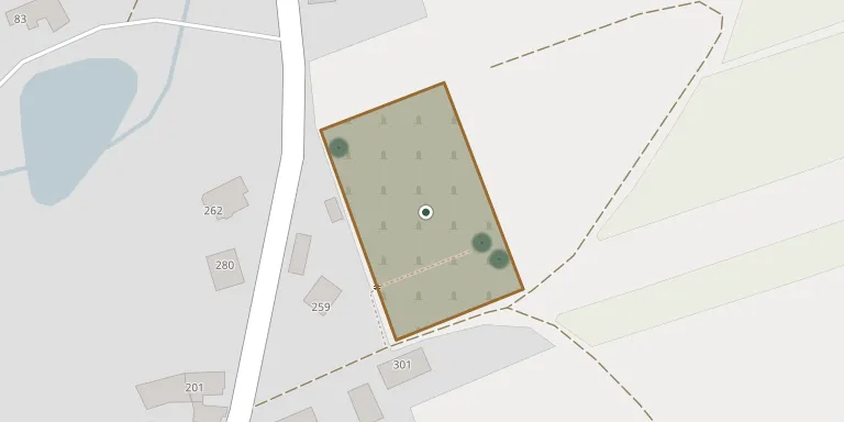
3,760 m²
cemetery area
Nov 5, 2026
last modified
About this cemetery
Předín Cemetery lies in Vysočina Region, Czechia.
Cemetery location
GPS coordinates: 49.200120° N, 15.676371° E Directions in Google Maps (opens in a new tab)
Memorials
10 memorials, A–Z by surname.
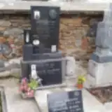 Alois Prchal 1871 – 1951
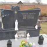 Josef Trávek 1941 – 2001
- Marie Trávková 1914 – 1985
- Marie Trávková 1917 – 2002
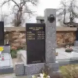 Cyril Trhka 1879 – 1953
- Karel Trhka 1914 – 1938
- Miroslav Trhka 1927 – 1986
- Kateřina Trhková 1890 – 1975
- Josef Trnka 1911 – 1983
- Michala Vejmelková 1982 – 1982
Looking for someone who isn't listed? Request a photo.
Nearby cemeteries
The closest other burial grounds listed on EveryStone.
- Opatov Cemetery, Opatov na Moravě 3.0 km away · Opatov
- Heraltice Cemetery 5.4 km away · Heraltice · 22 records
- Rozseč Cemetery near Třešť 6.2 km away · Rozseč · 10 records
- Stará Říše Cemetery 6.4 km away · Stará Říše · 44 records
- Želetava Cemetery 6.6 km away · Želetava
- Dlouhá Brtnice Cemetery 6.7 km away · Dlouhá Brtnice
- Rokytnice nad Rokytnou Cemetery 7.3 km away · Rokytnice nad Rokytnou · 259 records
- Želetava-Horky Cemetery 7.9 km away · Želetava · 7 records
- Kněžice Cemetery, Kněžice u Třebíče 8.1 km away · Kněžice u Třebíče
- Okříšky Cemetery 8.5 km away · Okříšky · 42 records
Contribute with the app
Our website works smoothly on both desktop and mobile devices. Prefer a native app? Check it out below.
- Capture clear headstone photos
- Save GPS grave locations automatically
- Transcribe inscriptions with our AI
- Suggest corrections to existing records
Common questions
How big is Předín Cemetery?
Předín Cemetery covers about 3,760 m² (0.9 acres), about half the size of a soccer field. It is the 119th largest of the 374 cemeteries we list in Vysočina Region.
What is the oldest grave in this cemetery?
The oldest grave among the records we hold for Předín Cemetery is that of Karel Trhka, who died in 1938 at the age of 24.