
480
documented records
≈ 750–1,500
approx. capacity (graves)
0.037 km²
cemetery area
Nov 5, 2026
last modified
About this cemetery
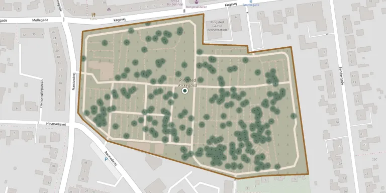
The present Ringsted churchyard lies just south of the town between Næstvedvej, Køgevej and Rønnedevej, and was taken into use in 1840. It is enclosed on three sides by a two-metre-high wall and has a chapel.
Cemetery location
GPS coordinates: 55.441823° N, 11.795242° E Directions in Google Maps (opens in a new tab)
Memorials
Showing the first 50 of 480, A–Z by surname. Search all records
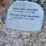 Margit Bennedsen 1940 – 2000
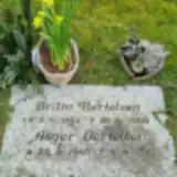 Asger Bertelsen 1945 – 2011
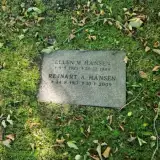 Ellen Hansen 1923 – 1988
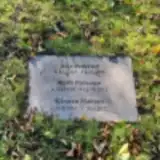 Kirsten Hansen 1951 – 2022
- Rejnart Hansen 1917 – 2009
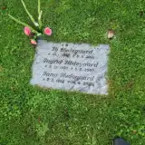 Ib Hedegaard 1926 – 2001
- Ingrid Hedegaard 1930 – 2007
- Jann Hedegaard 1952 – 2015
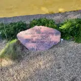 Bodil Helmersen 1884 – 1967
- Jørgen Helmersen 1880 – 1967
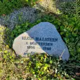 Elise Helsteen 1896 – 1988
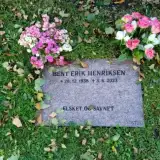 Bent Henriksen 1938 – 2023
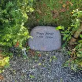 Hugo Hvidt 1920 – 2000
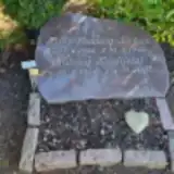 Solveig Hvidtfeldt 1934 – 2008
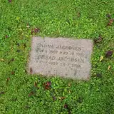 Anna Jacobsen 1907 – 1991
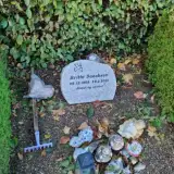 Britta Jacobsen 1965 – 2021
- Conrad Jacobsen 1909 – 1996
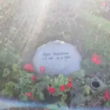 Egon Jacobsen 1928 – 2010
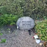 Ernst Jacobsen 1928 – 2007
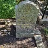 Kirsten Jacobsen 1919 – 2008
- Kirsten Jacobsen 1936 – 2006
- Knud Jacobsen 1918 – 1998
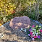 Hanne Jansen 1940 – 2023
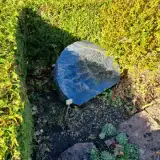 Jacob Jansen 1896 – 1980
- Karen Jansen 1901 – 1986
- Mogens Jansen 1932 – 2021
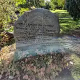 Urde Jensdatter Vimtrup 1886 – 1972
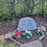 Aage Jensen 1897 – 1967
- Agnes Jensen 1900 – 1993
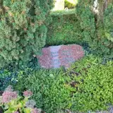 Anna Jensen 1909 – 1995
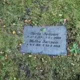 Carlo Jensen 1921 – 2002
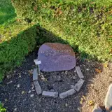 Elda Jensen 1937 – 2003
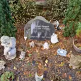 Gerda Jensen 1933 – 2011
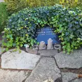 Gunver Jensen 1929 – 2022
- Gustav Jensen 1921 – 1987
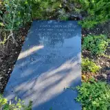 Jacobine Jensen 1873 – 1954
- Jens Jensen 1864 – 1943
- Lars Jensen 1857 – 1899
- Nethe Jensen 1931 – 2018
- Niels Jensen 1903 – 1979
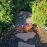 Karen Jewell 1958 – 1999
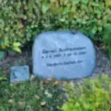 Søren Jochumsen 1988 – 2021
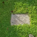 Erik Johansen 1914 – 1991
- Gurli Johansen 1924 – 2004
 Inna Jørgensen 1919 – 2008
- Knud Jørgensen 1915 – 1994
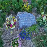 Inger Kaab 1932 – 2023
- Johannes Kaab 1929 – 2022
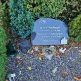 Bent Kaufmann 1945 – 2015
- Marianne Kaufmann 1949 – 2015
Looking for someone who isn't listed? Request a photo.
Nearby cemeteries
The closest other burial grounds listed on EveryStone.
- Benløse Churchyard 3.2 km away · Ringsted · 53 records
- Høm Churchyard, Høm 3.5 km away · Høm · 6 records
- Bringstrup Churchyard 4.2 km away · Bringstrup
- Sigersted Churchyard 4.2 km away · Sigersted · 24 records
- Haraldsted Churchyard 5.8 km away · Haraldsted
- Vetterslev Churchyard 6.2 km away · Vetterslev · 20 records
- Vrangstrup Churchyard 6.5 km away · Glumsø · 9 records
- Fjennelev Churchyard 6.9 km away · Kirke-Fjenneslev
- Nordrupøster Churchyard 7.0 km away · Nordrup
- Vigersted Churchyard 7.3 km away · Vigersted
Contribute with the app
Our website works smoothly on both desktop and mobile devices. Prefer a native app? Check it out below.
- Capture clear headstone photos
- Save GPS grave locations automatically
- Transcribe inscriptions with our AI
- Suggest corrections to existing records
Common questions
How big is Ringsted Churchyard?
Ringsted Churchyard covers about 37,000 m² (9.2 acres), about the size of 5 soccer fields. It is the 12th largest of the 417 cemeteries we list in Region Zealand.
What is the oldest grave in this cemetery?
The oldest grave among the records we hold for Ringsted Churchyard is that of Lars Jensen, who died on March 17, 1899 at the age of 41.