
Cemetery #183920
Køge Monastery Churchyard
Local name: Køge Klosterkirkegård
Also known as Klosterkirkegården
270
documented records
≈ 270–410
approx. capacity (graves)
4,230 m²
cemetery area
Nov 5, 2026
last modified
About this cemetery
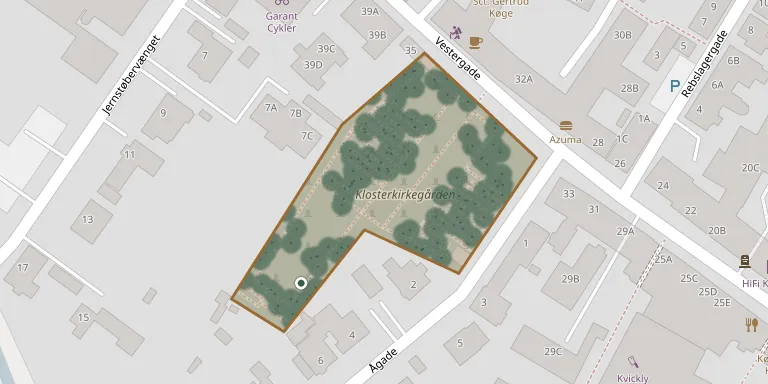
The Monastery Churchyard on Vestergade lies in the centre of Køge. During the Swedish occupation of 1658 to 1660 the monastery, church and half of Steens Boder were demolished. The churchyard was later used as a poor people's cemetery, and for a time the church was used only by the German colony.
Cemetery location
GPS coordinates: 55.457309° N, 12.176123° E Directions in Google Maps (opens in a new tab)
Memorials
Showing the first 50 of 270, A–Z by surname. Search all records
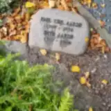 Paul Aarsø 1907 – 1992
- Ruth Aarsø 1919 – 2008
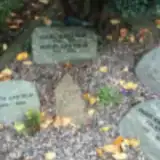 Carl Aastrup 1914 – 1981
- Doris Aastrup 1925 – 2008
- Jette Aastrup 1945 – 2008
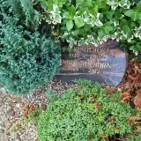 Erik Ahlborn 1923 – 2007
- Inger Ahlborn 1923 – 2012
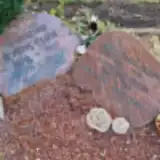 Niels Ahle Olsen 1970 – 1993
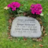 Børge Andersen 1916 – 2006
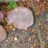 Hans Andersen 1896 – 1983
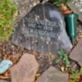 Iris Andersen 1918 – 2004
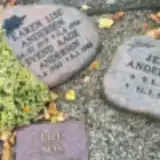 Jeff Andersen 1943 – 1994
- Johanne Andersen 1897 – 1987
- Karen Andersen 1919 – 1986
- Knud Andersen 1917 – 1976
 Preben Andersen 1934 – 1993
- Sonja Andersen 1917 – 1982
- Svend Andersen 1920 – 1988
 Far Bauer-Schäfer 1961 – 2022
 Ole Bech-Sørensen 1931 – 2002
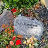 Johanne Bergstrand ? – 1986
- Lene Bergstrand 1948 – 2023
- Verner Bergstrand 1913 – 1971
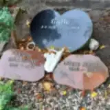 Xenia Björklund 1937 – 1975
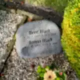 Bent Bladt 1947 – 2001
- Jonna Bladt 1947 – 2018
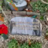 Jesper Buus Jensen 1944 – 2020
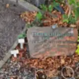 Erling Christensen 1927 – 1984
- Esther Christensen 1929 – 1965
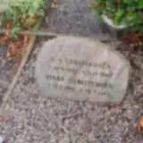 Rikke Christensen 1895 – 1977
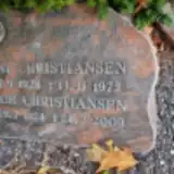 Anni Christiansen 1928 – 1975
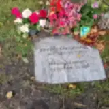 Morten Christiansen 1960 – 2023
- Rage Christiansen 1924 – 2009
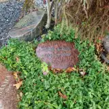 Lise Cox 1945 – 2002
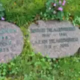 Børge Dragenberg 1916 – 1982
- Karen Dragenberg 1918 – 2008
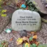 Anna Dresler 1930 – 2015
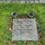 Else Dressel 1944 – 2016
- Lilly Dressel 1908 – 1994
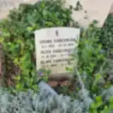 Georg Færgemann 1915 – 1993
- Klavs Færgemann 1945 – 2012
- Inger Falkner 1925 – 2008
 Alm Feigh 1937 – 2020
- Vinie Feigh 1940 – 2017
 Alfred Hansen 1909 – 1992
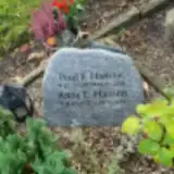 Anne Hansen 1937 – 2022
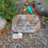 Birgit Hansen 1941 – 2013
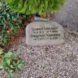 Dagmar Hansen 1917 – 2001
 Edith Hansen 1912 – 1979
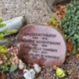 Erik Hansen 1924 – 2014
Looking for someone who isn't listed? Request a photo.
Nearby cemeteries
The closest other burial grounds listed on EveryStone.
- Køge Assistens Cemetery 430 m away · Køge · 59 records
- Ny Sankt Nicolai Churchyard 840 m away · Køge
- Claras Kirkegaard 1.2 km away · Køge
- Lellinge Churchyard 4.3 km away · Lellinge
- Herfølge Churchyard 4.8 km away · Køge
- Højelse Churchyard 5.4 km away · Højelse
- Vallø Stifts Churchyard 6.5 km away · Køge
- Valløby Churchyard 7.3 km away · Valløby
- Ejby Churchyard 7.4 km away · Ejby
- Lidemark Churchyard 8.0 km away · Lidemark
Contribute with the app
Our website works smoothly on both desktop and mobile devices. Prefer a native app? Check it out below.
- Capture clear headstone photos
- Save GPS grave locations automatically
- Transcribe inscriptions with our AI
- Suggest corrections to existing records
Common questions
How big is Køge Monastery Churchyard?
Køge Monastery Churchyard covers about 4,230 m² (1 acre), about half the size of a soccer field. It is the 178th smallest of the 417 cemeteries we list in Region Zealand.
What is the oldest grave in this cemetery?
The oldest grave among the records we hold for Køge Monastery Churchyard is that of Jens R Stage, who died in 1956 at the age of 86.