
40
documented records
≈ 150–310
approx. capacity (graves)
7,700 m²
cemetery area
Nov 5, 2026
last modified
About this cemetery
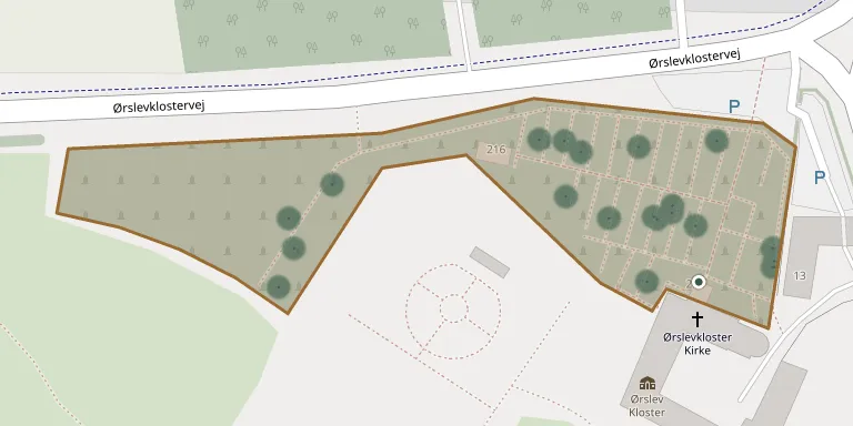
Ørslevkloster Churchyard lies beside Ørslevkloster Church, which forms the north wing of the former Ørslev Kloster near Hald.
Cemetery location
GPS coordinates: 56.597861° N, 9.217449° E Directions in Google Maps (opens in a new tab)
Memorials
40 memorials, A–Z by surname.
 Bendix Bech-Thostrup 1922 – 1995
 Jens Fruergaard 1942 – 2005
 Kristian Fruergaard 1896 – 1979
- Marie Fruergaard 1904 – 1994
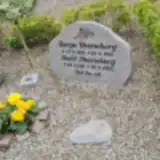 Bodil Henneberg 1931 – 2025
- Børge Henneberg 1925 – 2016
- Leif Henneberg 1971 – 1987
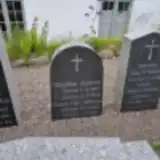 Nikoline Jensen 1869 – 1950
- Søren Jensen 1862 – 1955
 Kristian Jespersen 1901 – 1968
- Mette Jespersen 1897 – 1994
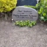 Poul Justesen 1923 – 1985
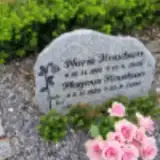 Magnus Knudsen 1920 – 2009
- Marie Knudsen 1919 – 1998
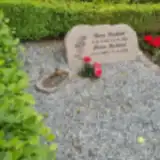 Anna Kudahl 1925 – 2004
- Jens Kudahl 1914 – 1989
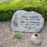 Holger Lajgaard 1918 – 1996
- Jørgen Lajgaard 1956 – 2005
 Andersen Møller 1909 – 1990
- Mariane Møller Andersen 1907 – 1972
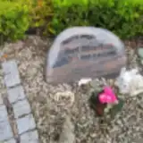 Gert Mouritsen 1946 – 2011
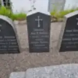 Jens Nielsen 1854 – 1913
- Kristine Nielsen 1859 – 1901
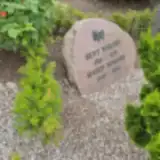 Marie Nordby 1908 – 1994
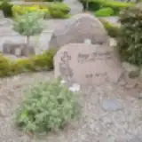 Aage Offersen 1935 – 1993
 Børge Pedersen 1977 – 1996
 Lovise Poulsen 1876 – 1961
- Poul Poulsen 1874 – 1931
 Ejner Ramsdahl 1907 – 1973
- Marie Ramsdahl 1909 – 1982
- Dagny Ramsdal Justesen 1928 – 2016
 Karen Skov 1918 – 2010
- Karl Skov 1903 – 1981
- Børge Skov Pedersen 1937 – 1995
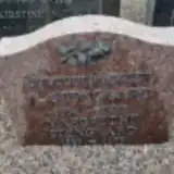 Margrethe Stengaard 1889 – 1979
- Nielsen Thoft 1946 – 2018
- Bendt Thoft Nielsen 1939 – 2010
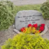 Anna Thomassen 1925 – 1984
- Hans Thomassen 1916 – 2009
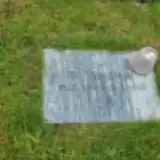 Bo Thygesen 1950 – 2009
Looking for someone who isn't listed? Request a photo.
Nearby cemeteries
The closest other burial grounds listed on EveryStone.
- Ørum Churchyard 3.5 km away · Nørre Ørum · 16 records
- Højslev Churchyard 5.1 km away · Højslev · 31 records
- Lundø Churchyard 5.7 km away · Lundø · 7 records
- Lynderup Churchyard 7.1 km away · Skals · 23 records
- Tårup Churchyard 7.4 km away · Løgstrup · 32 records
- Ulbjerg Churchyard 8.6 km away · Ulbjerg · 51 records
- Kvols Churchyard 9.3 km away · Løgstrup · 13 records
- Dommerby Churchyard 9.7 km away · Dommerby · 41 records
- Louns Churchyard 9.9 km away · Hvalpsund · 36 records
- Låstrup Churchyard 10 km away · Skals · 28 records
Contribute with the app
Our website works smoothly on both desktop and mobile devices. Prefer a native app? Check it out below.
- Capture clear headstone photos
- Save GPS grave locations automatically
- Transcribe inscriptions with our AI
- Suggest corrections to existing records
Common questions
How big is Ørslevkloster Churchyard?
Ørslevkloster Churchyard covers about 7,700 m² (1.9 acres), about the size of a soccer field. It is the 204th largest of the 656 cemeteries we list in Central Denmark Region.
What is the oldest grave in this cemetery?
The oldest grave among the records we hold for Ørslevkloster Churchyard is that of Kristine Nielsen, who died on April 5, 1901 at the age of 42.