
35
documented records
≈ 130–250
approx. capacity (graves)
6,290 m²
cemetery area
Nov 4, 2026
last modified
About this cemetery
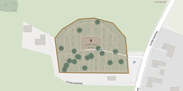
Understed Churchyard lies around Understed Church on the edge of the village of Understed, about eight kilometres south-south-west of Frederikshavn. The whitewashed church was built of monk-bricks in late Romanesque style in the 1100s or 1200s. It belongs to Understed parish, which is linked with Volstrup and Karup.
Cemetery location
GPS coordinates: 57.369785° N, 10.460010° E Directions in Google Maps (opens in a new tab)
Memorials
35 memorials, A–Z by surname.
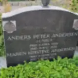 Anders Andersen 1869 – 1939
 Elsine Andersen 1838 – 1919
- Maren Andersen 1879 – 1972
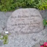 Lars Birkkjær Nielsen 1935 – 2010
- Ruth Birkkjær Nielsen 1936 – 1997
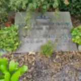 Anne Christensen 1876 – 1954
- Johan Christensen 1867 – 1960
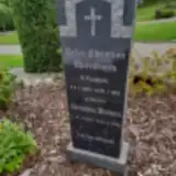 Kirsten Christensen 1844 – 1930
- Peder Christensen 1839 – 1925
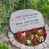 Anna Gunggaard 1929 – 2019
- Jens Gunggaard 1929 – 2005
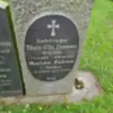 Mariane Hansen 1849 – 1940
- Niels Hansen 1850 – 1926
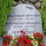 Egon Henriksen 1925 – 2000
- Inga Henriksen 1928 – 1977
 Anna Jensen 1893 – 1984
 Birthe Jensen 1858 – 1929
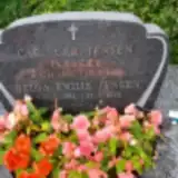 Carl Jensen 1880 – 1985
- Helga Jensen 1894 – 1988
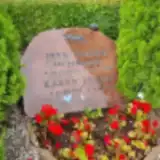 Jens Jensen 1920 – 1979
- Jens Jensen 1851 – 1934
- Karen Jensen 1925 – 2018
- Lars Jensen 1873 – 1938
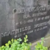 Mathilde Mortensen 1884 – 1976
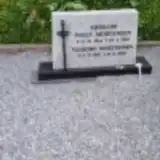 Niels Mortensen 1914 – 1969
- Ole Mortensen 1882 – 1962
- Valborg Mortensen 1916 – 2016
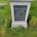 Sofie Neergaard 1896 – 1924
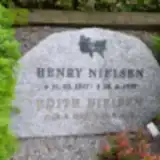 Edith Nielsen 1929 – 2011
- Henry Nielsen 1917 – 1977
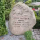 Jens Nielsen 1885 – 1963
- Johanne Nielsen 1895 – 1973
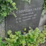 Ole Olesen 1871 – 1942
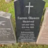 Søren Olesen 1851 – 1914
 Rønne Rysholt 1918 – 2007
Looking for someone who isn't listed? Request a photo.
Nearby cemeteries
The closest other burial grounds listed on EveryStone.
- Karup Churchyard 3.5 km away · Karup · 11 records
- Gærum Churchyard 3.6 km away · Gærum · 20 records
- Volstrup Churchyard 4.9 km away · Ørvad · 64 records
- Sæby Churchyard, Sæby 5.3 km away · Sæby · 293 records
- Flade Churchyard 6.0 km away · Frederikshavn · 58 records
- Fladbjerg Churchyard 6.3 km away · Kilden · 210 records
- Hørby Churchyard 7.1 km away · Sæby · 36 records
- Åsted Churchyard 8.3 km away · Frederikshavn · 27 records
- Torslev Churchyard 8.5 km away · Østervrå · 46 records
- Skærum Churchyard 8.9 km away · Skærum Kirkeby · 15 records
Contribute with the app
Our website works smoothly on both desktop and mobile devices. Prefer a native app? Check it out below.
- Capture clear headstone photos
- Save GPS grave locations automatically
- Transcribe inscriptions with our AI
- Suggest corrections to existing records
Common questions
How big is Understed Churchyard?
Understed Churchyard covers about 6,290 m² (1.6 acres), about the size of a soccer field. It is the 196th largest of the 399 cemeteries we list in North Denmark Region.
What is the oldest grave in this cemetery?
The oldest grave among the records we hold for Understed Churchyard is that of Søren Olesen, who died on May 14, 1914 at the age of 62.