
14
documented records
≈ 110–230
approx. capacity (graves)
5,700 m²
cemetery area
Oct 18, 2026
last modified
About this cemetery
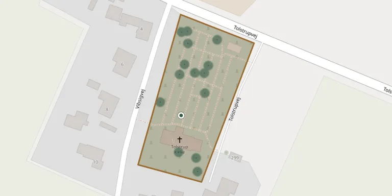
Tolstrup Churchyard is run by the Kattrup-Tolstrup parish council as part of Voer Herreds Pastorat. Its gravestones are catalogued under Voer Herred in the former Skanderborg Amt.
Cemetery location
GPS coordinates: 57.302854° N, 9.907328° E Directions in Google Maps (opens in a new tab)
Memorials
14 memorials, A–Z by surname.
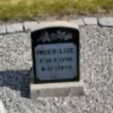 Inger-Lise Albertsen 1948 – 1949
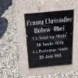 Frantz Bülow Obel 1836 – 1915
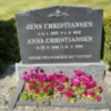 Jens Christiansen 1903 – 1956
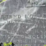 Svend Holsko 1906 – 1970
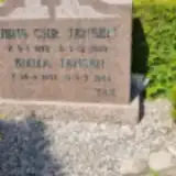 Jens Jensen 1875 – 1959
 Karoline Jensen 1868 – 1949
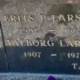 Frits Larsen 1902 – 1965
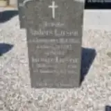 Kirstine Larsen 1868 – 1935
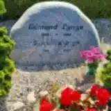 Karen Lyngø 1918 – 2007
 Marie Manø Christensen 1860 – 1950
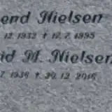 Ingrid Nielsen 1936 – 2016
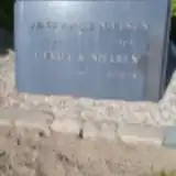 Jens Nielsen 1908 – 1963
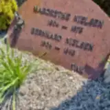 Margrethe Nielsen 1904 – 1973
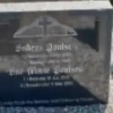 Anders Poulsen 1864 – 1940
Looking for someone who isn't listed? Request a photo.
Nearby cemeteries
The closest other burial grounds listed on EveryStone.
- Stenum Churchyard 3.2 km away · Stenum · 8 records
- Øster Hjermitslev Churchyard 3.5 km away · Brønderslev · 9 records
- Serritslev Churchyard 4.5 km away · Brønderslev · 16 records
- Em Churchyard 4.6 km away · Vrå · 12 records
- Brønderslev New Cemetery 5.0 km away · Brønderslev · 76 records
- Brønderslev Churchyard 5.0 km away · Brønderslev · 112 records
- Thise Churchyard 5.6 km away · Thise · 19 records
- Vrå Churchyard 6.0 km away · Hjørring · 65 records
- Vrå Elective Congregation Churchyard 6.1 km away · Vrå · 37 records
- Børglum Churchyard 7.8 km away · Hjørring · 45 records
Contribute with the app
Our website works smoothly on both desktop and mobile devices. Prefer a native app? Check it out below.
- Capture clear headstone photos
- Save GPS grave locations automatically
- Transcribe inscriptions with our AI
- Suggest corrections to existing records
Common questions
How big is Tolstrup Churchyard?
Tolstrup Churchyard covers about 5,700 m² (1.4 acres), about the size of a soccer field. It is the 177th smallest of the 399 cemeteries we list in North Denmark Region.
What is the oldest grave in this cemetery?
The oldest grave among the records we hold for Tolstrup Churchyard is that of Frantz Christoffer Bülow Obel, who died on June 20, 1915 at the age of 78.