
8
documented records
≈ 99–200
approx. capacity (graves)
4,950 m²
cemetery area
Nov 5, 2026
last modified
About this cemetery
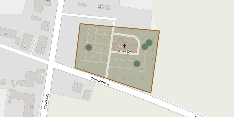
The churchyard belongs to Ølby Church, about 5 km southwest of Struer. The ashlar church was built in the 1200s, its tower dates from 1905, and the present form followed a fire in 1911.
Cemetery location
GPS coordinates: 56.470877° N, 8.549199° E Directions in Google Maps (opens in a new tab)
Memorials
8 memorials, A–Z by surname.
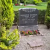 Adolf Antonsen 1903 – 1974
- Margrethe Antonsen 1912 – 1957
 Edith Bjerge Aaberg 1940 – 2005
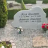 Jens Knudsen 1907 – 1986
- Johanne Knudsen 1914 – 2010
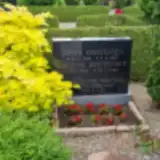 Johan Kristensen 1896 – 1971
- Kristine Kristensen 1902 – 1983
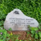 Otto Nielsen 1909 – 1982
Looking for someone who isn't listed? Request a photo.
Nearby cemeteries
The closest other burial grounds listed on EveryStone.
- Resen Churchyard 3.0 km away · Struer · 19 records
- Fousing Churchyard 3.0 km away · Fousing Kirkeby · 26 records
- Struer Churchyard 3.3 km away · Struer
- Vejrum Churchyard 3.4 km away · Vejrum Kirkeby · 40 records
- Gimsing Churchyard 3.5 km away · Struer · 40 records
- Asp Churchyard 4.8 km away · Asp
- Humlum Churchyard 6.4 km away · Struer · 49 records
- Hjerm West Churchyard 6.9 km away · Hjerm · 55 records
- Sir Churchyard 7.3 km away · Ringkøbing · 14 records
- Gudum Churchyard 7.7 km away · Gudum · 178 records
Contribute with the app
Our website works smoothly on both desktop and mobile devices. Prefer a native app? Check it out below.
- Capture clear headstone photos
- Save GPS grave locations automatically
- Transcribe inscriptions with our AI
- Suggest corrections to existing records
Common questions
How big is Ølby Churchyard?
Ølby Churchyard covers about 4,950 m² (1.2 acres), about half the size of a soccer field. It is the 241st smallest of the 656 cemeteries we list in Central Denmark Region.
What is the oldest grave in this cemetery?
The oldest grave among the records we hold for Ølby Churchyard is that of Margrethe Antonsen, who died on July 19, 1957 at the age of 45.