
12
documented records
≈ 82–160
approx. capacity (graves)
4,120 m²
cemetery area
Nov 5, 2026
last modified
About this cemetery
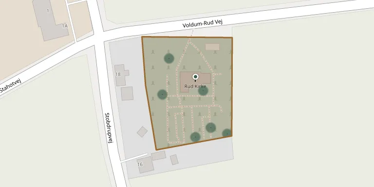
Rud Churchyard is a typical country churchyard, placed mostly on the south side of Rud Church but also on its west side. The church dates from the 1100s and stands alone by the road, formerly on the route between Randers and Aarhus, and the parish is linked with neighbouring Voldum.
Cemetery location
GPS coordinates: 56.361559° N, 10.128710° E Directions in Google Maps (opens in a new tab)
Memorials
12 memorials, A–Z by surname.
 Asta Bech 1933 – 2014
- Rasmus Beeh 1923 – 2015
 Ane Kondrup 1877 – 1954
- Kristine Kondrup 1866 – 1923
- Niels Kondrup 1870 – 1926
 Anna Nielsen 1890 – 1975
- Søren Nielsen 1884 – 1939
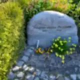 Kristian Pedersen 1981 – 1998
 Georg Petersen 1899 – 1975
- Minna Petersen 1898 – 1988
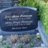 Alice Sørensen 1943 – 2024
- Jens Sørensen 1931 – 1998
Looking for someone who isn't listed? Request a photo.
Nearby cemeteries
The closest other burial grounds listed on EveryStone.
- Voldum Churchyard 2.6 km away · Voldum · 31 records
- Ølst Churchyard 3.8 km away · Randers · 2 records
- Hadbjerg Churchyard 3.8 km away · Hadbjerg · 5 records
- Årslev Church and Churchyard 4.4 km away · Randers
- Halling Churchyard 4.8 km away · Hornslet · 6 records
- Skader Churchyard 5.1 km away · Hornslet · 7 records
- Nørre Galten Churchyard 5.2 km away · Nørre Galten
- Clausholm Woodland Cemetery 5.4 km away · Mygind
- Ødum Churchyard 5.5 km away · Ødum · 31 records
- Mygind Churchyard 6.3 km away · Mørke · 4 records
Contribute with the app
Our website works smoothly on both desktop and mobile devices. Prefer a native app? Check it out below.
- Capture clear headstone photos
- Save GPS grave locations automatically
- Transcribe inscriptions with our AI
- Suggest corrections to existing records
Common questions
How big is Rud Churchyard?
Rud Churchyard covers about 4,120 m² (1 acre), about half the size of a soccer field. It is the 150th smallest of the 656 cemeteries we list in Central Denmark Region.
What is the oldest grave in this cemetery?
The oldest grave among the records we hold for Rud Churchyard is that of Kristine Kondrup, who died on September 3, 1923 at the age of 56.