
8
documented records
≈ 42–85
approx. capacity (graves)
2,120 m²
cemetery area
Nov 4, 2026
last modified
About this cemetery
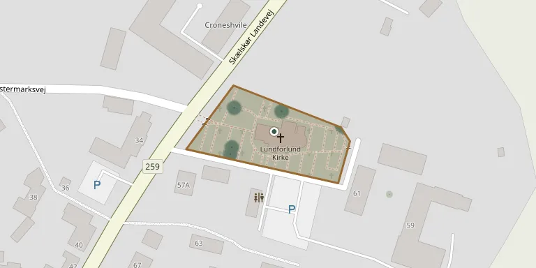
The churchyard belongs to Lundforlund Church, built in the Romanesque period (1050-1275), in Lundforlund Parish in Slagelse Municipality. In the 1800s Gerlev Parish was an annex to Lundforlund, and both lay in Slagelse Herred, Sorø County. The Lundforlund-Gerlev pastorate was dissolved in 1927 and Lundforlund was joined to Boeslunde.
Cemetery location
GPS coordinates: 55.341812° N, 11.318095° E Directions in Google Maps (opens in a new tab)
Memorials
8 memorials, A–Z by surname.
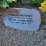 Grethe Christensen 1925 – 2011
- Poul Christensen 1913 – 1982
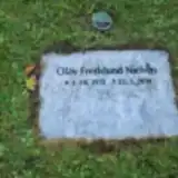 Olav Fredslund Nielsen 1931 – 2018
 Mine Hansen 1898 – 1946
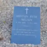 Kristian Nielsen 1896 – 1916
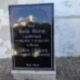 Niels Olsen 1843 – 1913
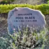 Poul Olsen 1933 – 2018
- Sidse Olsen 1837 – 1924
Looking for someone who isn't listed? Request a photo.
Nearby cemeteries
The closest other burial grounds listed on EveryStone.
- Gerlev Churchyard 1.7 km away · Gerlev · 16 records
- Hemmeshøj Churchyard 1.9 km away · Vemmelev · 12 records
- Fårdrup Churchyard 2.8 km away · Seerdrup · 11 records
- Slots Bjergby Churchyard 3.8 km away · Slots Bjergby · 4 records
- Skørpinge Churchyard 3.8 km away · Skørpinge · 7 records
- Sludstrup Churchyard 3.9 km away · Sludstrup · 10 records
- Vemmelev Churchyard 4.3 km away · Vemmelev · 35 records
- Boeslunde Churchyard 5.4 km away · Boeslunde · 24 records
- Flakkebjerg Churchyard 5.7 km away · Flakkebjerg · 7 records
- Høve Valgmenigheds Churchyard 6.4 km away · Dalmose · 37 records
Contribute with the app
Our website works smoothly on both desktop and mobile devices. Prefer a native app? Check it out below.
- Capture clear headstone photos
- Save GPS grave locations automatically
- Transcribe inscriptions with our AI
- Suggest corrections to existing records
Common questions
How big is Lundforlund Churchyard?
Lundforlund Churchyard covers about 2,120 m² (0.5 acres), about the size of 8 tennis courts. It is the 29th smallest of the 417 cemeteries we list in Region Zealand.
What is the oldest grave in this cemetery?
The oldest grave among the records we hold for Lundforlund Churchyard is that of Niels Olsen, who died on April 30, 1913 at the age of 69.