
Cemetery #185273
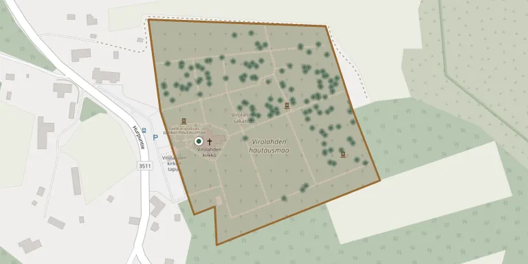
Virolahti Cemetery
Local name: Virolahden hautausmaa
Also known as Sankarihautausmaa, Virolahti
367
documented records
≈ 1,100–2,200
approx. capacity (graves)
0.055 km²
cemetery area
Nov 5, 2026
last modified
About this cemetery
This is the only cemetery in Virolahti and it is managed by the Hamina parish. The site is sandy pine heath on a moraine ridge, with the church standing at its highest point. The area next to the church was restored to its final form in 1953.
Cemetery location
GPS coordinates: 60.509268° N, 27.687430° E Directions in Google Maps (opens in a new tab)
Memorials
Showing the first 50 of 367, A–Z by surname. Search all records
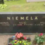 Hannes Dufva 1930 – 2019
- Maija Dufva 1933 – 2022
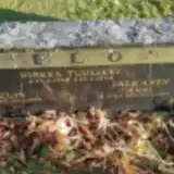 Eelis Elo 1917 – 1948
- Sirkka Elo 1948 – 1948
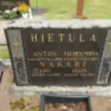 Anton Hietula 1874 – 1946
- Vilhelmiina Hietula 1877 – 1967
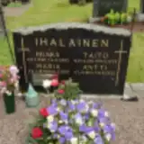 Antti Ihalainen 1865 – 1932
- Hilkka Ihalainen 1920 – 1995
- Maria Ihalainen 1879 – 1957
- Taito Ihalainen 1911 – 1979
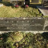 Elina Iivari 1898 – 1980
- Evert Iivari 1886 – 1969
- Hilja Iivari 1895 – 1980
- Matti Iivari 1849 – 1912
- Miina Iivari 1837 – 1925
- Pauli Iivari 1922 – 1923
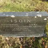 Anna Isoin 1856 – 1937
- Karoliina Isoin 1888 – 1942
- Nikodemus Isoin 1859 – 1930
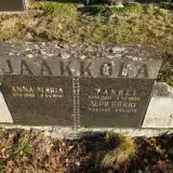 Alpo Jaakkola 1908 – 1979
- Anna-Maria Jaakkola 1866 – 1947
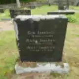 Erik Jaakkola 1844 – 1901
- Matti Jaakkola 1841 – 1923
- Mikko Jaakkola 1834 – 1902
- Taneli Jaakkola 1860 – 1934
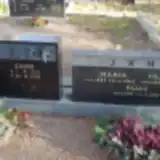 Kauko Jähi 1920 – 1988
- Maria Jähi 1889 – 1962
- Paavo Jähi 1931 – 2002
- Sanni Jähi 1917 – 1996
- Vilhelm Jähi 1894 – 1964
- Anni Jalkanen 1874 – 1953
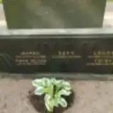 Eero Jokimies 1936 – 1996
- Jaakko Jokimies 1934 – 1988
- Lauri Jokimies 1903 – 1969
- Maria Jokimies 1950 – 1993
- Toini Jokimies 1908 – 2005
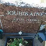 Katja Jouhikainen 1973 – 1999
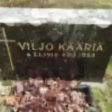 Viljo Kääriä 1910 – 1984
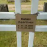 Raimo Kaartinen 1953 – 1956
 Simo Kaasalainen 1873 – 1969
- Varpu Kaasalainen 1877 – 1968
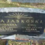 Akseli Kajaskoski 1912 – 1978
- Emil Kajaskoski 1880 – 1969
- Hilkka Kajaskoski 1919 – 1996
- Johanna Kajaskoski 1885 – 1957
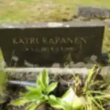 Katri Kapanen 1885 – 1961
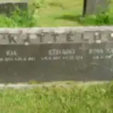 Edvard Kattelu 1883 – 1958
- Irma Kattelu 1916 – 1919
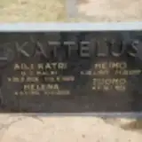 Aili Kattelus 1926 – 1989
- Heimo Kattelus 1927 – 1977
Looking for someone who isn't listed? Request a photo.
Nearby cemeteries
The closest other burial grounds listed on EveryStone.
- Kuorsalo Cemetery 17 km away · Hamina
- Miehikkälä Heroes' Cemetery 18 km away · Miehikkälä
- Miehikkälä Chapel Parish Cemetery 18 km away · Miehikkälä
- Hamina Orthodox Cemetery 25 km away · Hamina · 17 records
- Nicholas II's Soldiers' Jewish Cemetery, Hamina 25 km away · Hamina
- Ristiniemi Cemetery 27 km away · Hamina · 236 records
- Hamina Heroes' Cemetery 28 km away · Hamina
- Hamina Hietakylä Cemetery 28 km away · Hamina · 60 records
- Leirikangas Cemetery 29 km away · Hamina · 204 records
- Myllykylä Cemetery 29 km away · Myllykylä · 202 records
Contribute with the app
Our website works smoothly on both desktop and mobile devices. Prefer a native app? Check it out below.
- Capture clear headstone photos
- Save GPS grave locations automatically
- Transcribe inscriptions with our AI
- Suggest corrections to existing records
Common questions
How big is Virolahti Cemetery?
Virolahti Cemetery covers about 55,000 m² (14 acres), about the size of 8 soccer fields. It is the 7th largest of the 59 cemeteries we list in Kymenlaakso.
What is the oldest grave in this cemetery?
The oldest grave among the records we hold for Virolahti Cemetery is that of Juho Nakari, who died on March 15, 1897 at the age of 61.