
685
documented records
≈ 690–1,200
approx. capacity (graves)
0.029 km²
cemetery area
Nov 6, 2026
last modified
About this cemetery
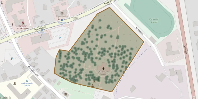
Rantsila Cemetery lies in the area of the Rantsila chapel parish and is one of the six cemeteries of the Siikalatva parish.
Cemetery location
GPS coordinates: 64.504561° N, 25.655173° E Directions in Google Maps (opens in a new tab)
Memorials
Showing the first 50 of 685, A–Z by surname. Search all records
 Kustaava Antreas 1904 – 1909
 Aino Heikkilä 1918 – 1930
- Greetta Heikkilä 1879 – 1972
- Olli Heikkilä 1879 – 1954
 Isakki Hirviniemi 1884 – 1900
 Martti Hyväri 1936 – 1983
 Maria Jääskö 1848 – 1919
 Taina Kallio 1905 – 1997
 Iita Kemppanen 2021 – 2021
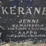 Aappo Keränen 1902 – 1974
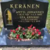 Antti Keränen 1923 – 2005
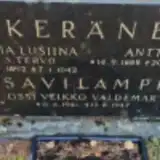 Antti Keränen 1888 – 1943
- Jenni Keränen 1899 – 1971
- Lea Keränen 1928 – 2015
- Maria Keränen 1892 – 1942
 Väinö Keränen 1907 – 1941
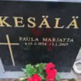 Paula Kesälä 1934 – 2017
 Vappu Kesti 1937 – 2023
- Vilho Kesti 1934 – 2012
 Aura Kiimala 1920 – 1926
 Heikki Kokkonen 1916 – 1997
- Hilja Kokkonen 1921 – 2010
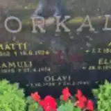 Anna Korkala 1868 – 1922
- Elmiina Korkala 1890 – 1951
- Hannu Korkala ? – 1945
- Iikka Korkala 1867 – 1942
- Matti Korkala 1862 – 1924
- Olavi Korkala 1934 – 1940
- Samuli Korkala 1895 – 1974
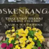 Eino Koskenkangas 1924 – 1969
- Laura Koskenkangas 1927 – 2022
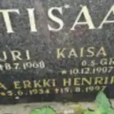 Artturi Kotisaari 1896 – 1968
- Kaisa Kotisaari 1907 – 1984
- Oiva Kotisaari 1934 – 1997
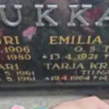 Emilia Koukkari 1921 – 1996
- Jari Koukkari 1961 – 1961
- Lauri Koukkari 1906 – 1980
- Tarja Koukkari 1964 – 2017
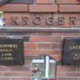 Lauri Kröger 1937 – 2022
- Seija Kröger 1938 – 2000
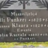 Sofia Kuivala 1857 – 1938
 Liisa Kuoppala 1869 – 1951
 Anna Kurikka 1917 – 1933
- Elly Kurikka 1905 – 1979
 Elsa Kurikka 1901 – 1969
- Elvi Kurikka 1915 – 1919
- Jaakko Kurikka 1875 – 1948
- Jenni Kurikka 1882 – 1934
- Johanna Kurikka 1902 – 1960
- Kaisa Kurikka 1878 – 1962
Looking for someone who isn't listed? Request a photo.
Nearby cemeteries
The closest other burial grounds listed on EveryStone.
- Nurkkaperä Heroes' Cemetery 19 km away · Nurkkaperä · 53 records
- Paavola Heroes' Cemetery 24 km away · Siikajoki · 152 records
- Paavola Cemetery 25 km away · Siikajoki · 271 records
- Pulkkila Old Cemetery 28 km away · Siikalatva · 132 records
- Tyrnävä Old Cemetery 29 km away · Tyrnävä
- Tyrnävä Heroes' Cemetery 29 km away · Tyrnävä
- Tyrnävä Cemetery 29 km away · Tyrnävä · 409 records
- Pulkkila New Cemetery 30 km away · Siikalatva · 103 records
- Vihanti Cemetery 31 km away · Raahe · 851 records
- Vihanti Heroes' Cemetery 32 km away · Raahe · 9 records
Contribute with the app
Our website works smoothly on both desktop and mobile devices. Prefer a native app? Check it out below.
- Capture clear headstone photos
- Save GPS grave locations automatically
- Transcribe inscriptions with our AI
- Suggest corrections to existing records
Common questions
How big is Rantsila Cemetery?
Rantsila Cemetery covers about 29,000 m² (7.2 acres), about the size of 4 soccer fields. It is the 23rd largest of the 118 cemeteries we list in North Ostrobothnia.
What is the oldest grave in this cemetery?
The oldest grave among the records we hold for Rantsila Cemetery is that of Jaako Simelius, who died on May 6, 1868 at the age of 29.