
Cemetery #185341
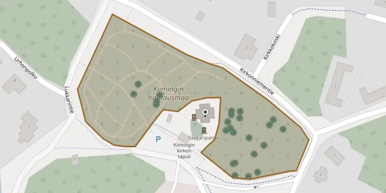
Kiiminki Cemetery
Local name: Kiimingin hautausmaa
Also known as Sankarihautausmaa, Kiiminki
41
documented records
≈ 380–760
approx. capacity (graves)
0.019 km²
cemetery area
Nov 5, 2026
last modified
About this cemetery
Kiiminki Cemetery consists of a historic churchyard and a newer cemetery at the Kiiminki church, and is maintained by the Oulu parishes. The Kiiminki heroes' cemetery holds 62 soldiers who fell in the wars of 1939-1945.
Cemetery location
GPS coordinates: 65.135661° N, 25.758447° E Directions in Google Maps (opens in a new tab)
Memorials
41 memorials, A–Z by surname.
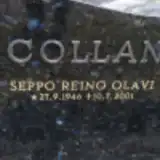 Seppo Collan 1946 – 2001
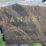 Eino Hanhela 1923 – 2014
- Hilda Hanhela 1926 – 2014
- Kaija-Liisa Hanhela 1946 – 2002
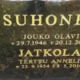 Terttu Jatkola 1954 – 2014
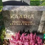 Risto Kääriä 1944 – 1970
 Aarne Kanniainen 1917 – 2007
- Anna-Liisa Kanniainen 1927 – 2004
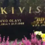 Elli Kivistö 1912 – 1994
- Toivo Kivistö 1914 – 1988
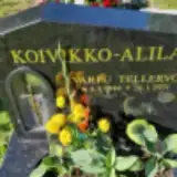 Varpu Koivikko-Alila 1944 – 2021
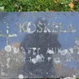 Matti Koskela 1927 – 1980
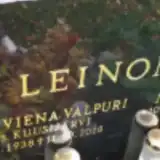 Matti Leinonen 1941 – 2014
- Vappu Leinonen 1938 – 2018
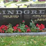 Iida Lindgren 1900 – 1981
- Juho Lindgren 1897 – 1982
- Kalle Lindgren 1927 – 2010
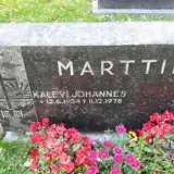 Kalevi Marttila 1934 – 1978
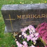 Maria Merikari 1891 – 1965
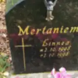 Linnea Mertaniemi 1998 – 1998
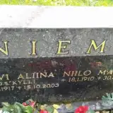 Niilo Niemi 1910 – 1986
- Sylvi Niemi 1917 – 2003
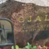 Olavi Ojala 1937 – 2009
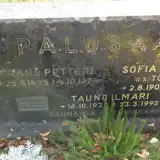 Frans Palosaari 1895 – 1974
- Kauko Palosaari 1931 – 2011
- Sofia Palosaari 1900 – 1992
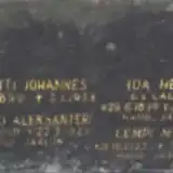 Lempi Paso 1923 – 1925
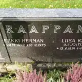 Erkki Raappana 1892 – 1975
- Liisa Raappana 1891 – 1974
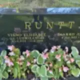 Jaakko Runtti 1925 – 2015
- Vieno Runtti 1928 – 2014
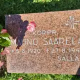 Mauno Saarela 1920 – 1941
 Emil Saviniemi 1911 – 1972
 Aapo Sihvonen 1929 – 2013
- Tuula Sihvonen 1965 – 1988
- Jouko Suhonen 1946 – 2000
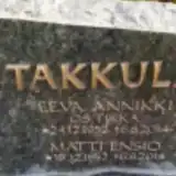 Matti Takkula 1952 – 2014
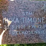 Iikka Timonen 1901 – 1939
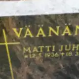 Elsa Väänänen 1944 – 2021
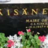 Maire Väisänen 1947 – 1989
 Leena Vasarmo 1950 – 2019
Looking for someone who isn't listed? Request a photo.
Nearby cemeteries
The closest other burial grounds listed on EveryStone.
- Jääli Cemetery 4.3 km away · Oulu · 296 records
- Oulu Cemetery 17 km away · Oulu · 338 records
- Oulu Heroes' Cemetery 17 km away · Oulu · 5 records
- Oulu Cemetery 18 km away · Oulu · 149 records
- Haukipudas Cemetery 19 km away · Oulu · 282 records
- Haukipudas Heroes' Cemetery 20 km away · Oulu · 7 records
- Haukipudas Old Cemetery 20 km away · Oulu
- Jakkukylä Cemetery, Oulu 20 km away · Oulu · 48 records
- Ylikiiminki Heroes' Cemetery 21 km away · Ylikiiminki · 5 records
- Kirkkotarha 1 21 km away · Ylikiiminki · 84 records
Contribute with the app
Our website works smoothly on both desktop and mobile devices. Prefer a native app? Check it out below.
- Capture clear headstone photos
- Save GPS grave locations automatically
- Transcribe inscriptions with our AI
- Suggest corrections to existing records
Common questions
How big is Kiiminki Cemetery?
Kiiminki Cemetery covers about 19,000 m² (4.7 acres), about the size of 3 soccer fields. It is the 43rd largest of the 118 cemeteries we list in North Ostrobothnia.
What is the oldest grave in this cemetery?
The oldest grave among the records we hold for Kiiminki Cemetery is that of Lempi Maria Paso, who died on January 30, 1925 at the age of 1.