
60
documented records
≈ 670–1,300
approx. capacity (graves)
0.033 km²
cemetery area
Nov 5, 2026
last modified
About this cemetery
The current Kannus cemetery was founded in 1889 at Ojuankangas, with an extension taken into use in the 1990s. The Old Cemetery, where burials took place earlier, was established in 1863. Before that the dead were buried in the churchyard.
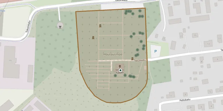
Cemetery location
GPS coordinates: 63.900429° N, 23.904069° E Directions in Google Maps (opens in a new tab)
Memorials
Showing the first 50 of 60, A–Z by surname. Search all records
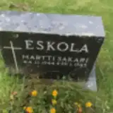 Martti Eskola 1944 – 1945
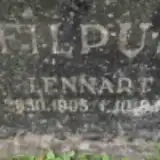 Lennart Filpus 1905 – 1964
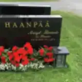 Margit Haanpää 1949 – 2012
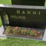 Mikko Hanni 1945 – 2012
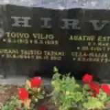 Agathe Hirvi 1917 – 1978
- Juhani Hirvi 1944 – 2013
- Toivo Hirvi 1912 – 1995
- Ulla-Maija Hirvi 1946 – 1946
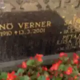 Saima Hyyppä 1914 – 1985
- Väinö Hyyppä 1910 – 2001
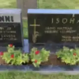 Anna Isohanni 1901 – 1983
- Kaisa Isohanni 1866 – 1942
- Matti Isohanni 1860 – 1952
- Taina Isohanni 1931 – 2019
- Väinö Isohanni 1903 – 1990
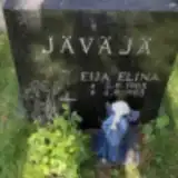 Eija Jäväjä 1985 – 1985
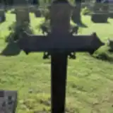 Adolf Korpela 1895 – 1896
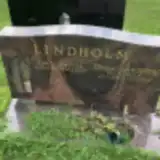 Eino Lindholm 1931 – 2009
- Laina Lindholm 1929 – 2019
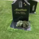 Väinö Määttälä 1945 – 2013
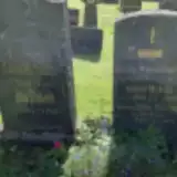 Alfred Mäkelä 1898 – 1970
- Britta Mäkelä 1859 – 1932
- Ida Mäkelä 1883 – 1960
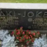 Antti Mäki-Jokela 1902 – 1979
- Juho Mäki-Jokela 1842 – 1930
- Juho Mäki-Jokela 1896 – 1969
- Maria Mäki-Jokela 1864 – 1914
- Rauha Mäki-Jokela 1915 – 2013
- Saima Mäki-Jokela 1898 – 1924
- Hanna Märsylä 1901 – 1994
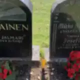 Josefiina Oravainen 1859 – 1939
- Mikko Oravainen 1855 – 1940
- Väinö Oravainen 1904 – 1982
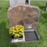 Toivo Pajukoski 1951 – 2007
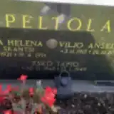 Eeva Peltola 1921 – 1991
- Esko Peltola 1945 – 1949
- Viljo Peltola 1917 – 2012
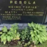 Elina Pesola 1893 – 1966
- Heimo Pesola 1932 – 1945
- Hugo Pesola 1923 – 1974
- Matti Pesola 1882 – 1963
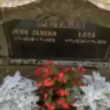 Juho Petäjä 1849 – 1931
- Liisa Petäjä 1849 – 1931
- Liisa Petäjävuori 1941 – 2014
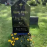 Alvar Ranta-Ylitalo 1925 – 2014
- Helli Ranta-Ylitalo 1923 – 1963
- Impi Ranta-Ylitalo 1921 – 2008
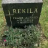 Frans Rekilä 1904 – 1975
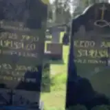 Justus Sarisalo 1902 – 1985
- Keijo Sarisalo 1924 – 2010
Looking for someone who isn't listed? Request a photo.
Nearby cemeteries
The closest other burial grounds listed on EveryStone.
- Kannuksen Sankarihaudat 530 m away · Kannus · 4 records
- Mattila Old Cemetery 1.9 km away · Mattila
- Ullava Heroes' Cemetery 21 km away · Ullava
- Himanka Churchyard 22 km away · Himanka · 4 records
- Himanka Heroes' Cemetery, Himanka 22 km away · Himanka · 4 records
- Himanka Cemetery 22 km away · Kalajoki · 155 records
- Kälviä Cemetery 23 km away · Kokkola
- Toholampi Cemetery 24 km away · Toholampi
- Lochteå Cemetery 24 km away · Lohtaja
- Rautio Cemetery 24 km away · Kalajoki
Contribute with the app
Our website works smoothly on both desktop and mobile devices. Prefer a native app? Check it out below.
- Capture clear headstone photos
- Save GPS grave locations automatically
- Transcribe inscriptions with our AI
- Suggest corrections to existing records
Common questions
How big is Kannus Cemetery?
Kannus Cemetery covers about 33,000 m² (8.2 acres), about the size of 5 soccer fields. It is the 18th largest of the 118 cemeteries we list in North Ostrobothnia.
What is the oldest grave in this cemetery?
The oldest grave among the records we hold for Kannus Cemetery is that of Adolf Lambert Korpela, who died on June 13, 1896 at the age of 0.