
Cemetery #185688
St. Andre Communal Cemetery
Local name: Cimetière de Saint-André-lez-Lille
432
documented records
≈ 820–1,600
approx. capacity (graves)
0.041 km²
cemetery area
Nov 6, 2026
last modified
About this cemetery
St. Andre Communal Cemetery lies in Saint-André-lez-Lille, Hauts-de-France, France. More about the cemetery can be found through ww1cemeteries.com.
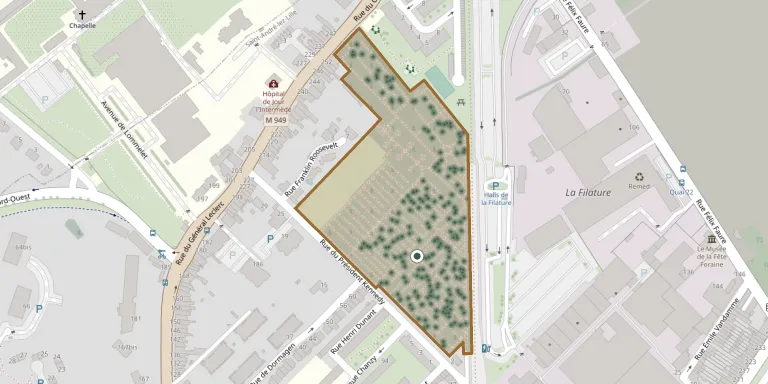
Cemetery location
GPS coordinates: 50.665929° N, 3.053662° E Directions in Google Maps (opens in a new tab)
Memorials
Showing the first 50 of 432, A–Z by surname. Search all records
 Marceau Achin 1905 – 1960
 Seigne Antoinette 1911 – 2007
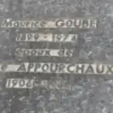 Céline Appourchaux 1906 – 1988
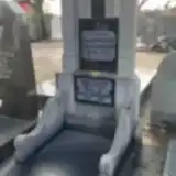 Henri Baco 1890 – 1941
 Jérôme Baillon 1902 – 1976
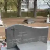 Louis Bailly ? – 1924
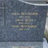 Amélie Becue 1890 – 1976
 Gabrielle Bellin 1919 – 1991
 Henri Bergot 1905 – 1981
 Julienne Boone 1895 – 1967
 Emile Bot 1895 – 1963
 Hennebicqe Brigitte 1946 – 1948
 Julia Burette 1865 – 1949
 Augusta Cailly 1915 – 2006
 Claire Camus 1919 – 1982
 Félicie Camus 1863 – 1940
 Ginette Candillier 1932 – 1977
 Mathilde Cappelle 1897 – 1920
 Roger Clerbout 1921 – 1994
- Raymond Coget 1915 – 1982
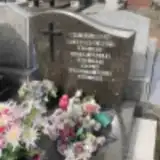 Victor Collée 1903 – 1977
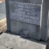 Hortense Colombier 1890 – 1965
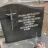 Adolphe Coppens 1878 – 1925
- Alphonse Coppens 1904 – 1977
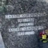 Gaston Cordonnier ? – 1980
 Marcel Coudenys 1884 – 1957
- Marie-Elise Coudenys 1883 – 1963
 Jeanne Courbez ? – 1920
 Marie-Paul Cours 1958 – 1985
 Michelle Courselle 1906 – 1993
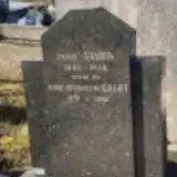 Marie Court 1891 – 1961
 Marie Couteau 1887 – 1959
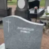 Daniel Crepel 1950 – 1996
 Georges Crequy 1885 – 1968
 Adolphe Cuvelier 1905 – 1926
 Alphonse Cuvelier 1872 – 1927
- Alphonse Cuvelier 1899 – 1920
- Blanche Cuvelier 1874 – 1938
- Pierra Cuvelier 1908 – 1934
 Maria Dallee 1881 – 1940
- Rosa Dallier 1870 – 1944
 Alexis Danel 1888 – 1964
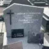 Kleber Darchicourt 1904 – 1965
 Marthe Dazin 1873 – 1954
 Cyrille Debackere 1879 – 1949
 Henri De Backere 1869 – 1935
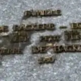 Paul De Backere 1894 – 1941
- Pierre De Backere 1950 – 1950
 Gabriel Deblock 1925 – 1999
- Raoul Deblock 1921 – 1938
Looking for someone who isn't listed? Request a photo.
Nearby cemeteries
The closest other burial grounds listed on EveryStone.
- La Madeleine Old Cemetery / La Madeleine Communal Cemetery 1.1 km away · La Madeleine · 258 records
- Marquette-lez-Lille Cemetery 1.8 km away · Marquette-lez-Lille
- Les Ormes Landscaped Cemetery, Lambersart 2.0 km away · Lambersart
- Marcq-en-Barœul Town Cemetery 2.1 km away · Marcq-en-Barœul · 9 records
- La Madeleine New Cemetery 2.4 km away · Marcq-en-Barœul
- Lambersart German Military Cemetery 2.7 km away · Les Conquérants
- Lambersart Communal Cemetery 2.7 km away · Les Conquérants
- Wambrechies Cemetery 2.8 km away · Wambrechies
- Lambersart Village Cemetery 2.9 km away · Lambersart
- Canteleu Cemetery 3.2 km away · Lille
Contribute with the app
Our website works smoothly on both desktop and mobile devices. Prefer a native app? Check it out below.
- Capture clear headstone photos
- Save GPS grave locations automatically
- Transcribe inscriptions with our AI
- Suggest corrections to existing records
Common questions
How big is St. Andre Communal Cemetery?
St. Andre Communal Cemetery covers about 41,000 m² (10 acres), about the size of 6 soccer fields. It is the 62nd largest of the 4,957 cemeteries we list in Hauts-de-France.
What is the oldest grave in this cemetery?
The oldest grave among the records we hold for St. Andre Communal Cemetery is that of Louis Glaghon, who died in 1850 at the age of 36.