
234
documented records
≈ 310–620
approx. capacity (graves)
0.015 km²
cemetery area
Nov 5, 2026
last modified
About this cemetery
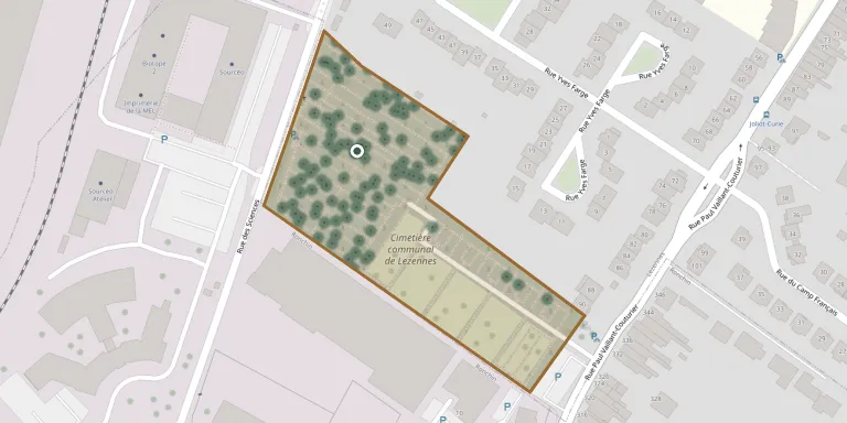
Lezennes Communal Cemetery is a burial ground south-west of the village, on the road from Lezennes to Ronchin.
Cemetery location
GPS coordinates: 50.612056° N, 3.107575° E Directions in Google Maps (opens in a new tab)
Memorials
Showing the first 50 of 234, A–Z by surname. Search all records
 Louise Bayens 1899 – 1984
 Henri Begard 1896 – 1932
 Andre Bossut 1929 – 1990
 Jeanne Boucq 1906 – 1957
 Marie Boutten 1866 – 1954
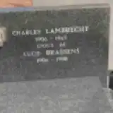 Lucie Brassens 1906 – 1988
 Rachel Broothuis 1894 – 1967
 Fernand Cappel 1917 – 1992
 Lucienne Carlu 1925 – 2005
 Hugo Carpenter ? – 1949
 Berthe Cauvet 1898 – 1979
 Anne Charly 1915 – 1997
 Emile Cocheteux 1924 – 1976
 Dorothée Crombez 1905 – 1947
 Germaine Daeke 1896 – 1971
 Désiré Debachy 1892 – 1968
 Joseph Deffrannes 1837 – 1889
 Henriette Degang 1901 – 1984
 Lucien De Keyser 1923 – 2011
 Marie Delecour 1869 – 1918
 Marie Delemer 1891 – 1963
 Henri Deprez 1901 – 1977
 Clemence Deraolez 1896 – 1976
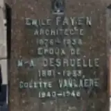 M-A Desruelle 1881 – 1953
 Maria Devendeville 1889 – 1977
 Julie Dewagter 1894 – 1952
 Madeleine Dewattripont 1922 – 2018
 Simone Dugardin 1926 – 2018
 Arthur Duriez 1898 – 1968
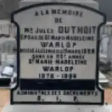 Jules Duthoit 1878 – 1928
 Léonie Elby 1915 – 2012
 Augustin Emaire 1839 – 1914
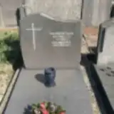 Marie Faille 1898 – 1985
- Emile Fayen 1876 – 1938
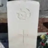 William Felstead 1922 – 1944
 Adonia Flamine 1906 – 2000
 Lucien Fleck 1907 – 1972
 Clementine Flinois 1898 – 1991
 Charles Franadenk 1930 – 1991
- Hortense François 1872 – 1949
- Laure Franquenk 1893 – 1975
- Adelina Fremery 1892 – 1969
- Henri Gabriel 1922 – 1956
 Fernand Guilbert 1908 – 1975
- Michèle Guilbert 1948 – 2014
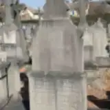 Charles Guillain 1843 – 1908
- Henriette Guillain 1879 – 1881
- Julie Guillain 1876 – 1908
- Louis Guillain ? – 1936
- Rosalie Guillain ? – 1924
Looking for someone who isn't listed? Request a photo.
Nearby cemeteries
The closest other burial grounds listed on EveryStone.
- Mons-en-Barœul Communal Cemetery 1.8 km away · Mons-en-Barœul
- Ronchin Cemetery 2.1 km away · Ronchin
- Lesquin Cemetery 2.4 km away · Le Petit Hameau
- Faches-Thumesnil Cemetery 3.1 km away · Ronchin
- Annappes Churchyard 3.5 km away · Annappes
- Flers-Bourg Cemetery 3.6 km away · Flers Le Bourg
- Lille East Cemetery 3.9 km away · Lille · 11 records
- Lille South German War Cemetery 3.9 km away · Lille
- Lille South Cemetery 4.0 km away · Lille
- Lille Commonwealth War Graves 4.1 km away · Lille
Contribute with the app
Our website works smoothly on both desktop and mobile devices. Prefer a native app? Check it out below.
- Capture clear headstone photos
- Save GPS grave locations automatically
- Transcribe inscriptions with our AI
- Suggest corrections to existing records
Common questions
How big is Lezennes Communal Cemetery?
Lezennes Communal Cemetery covers about 15,000 m² (3.8 acres), about the size of 2 soccer fields. It is the 321st largest of the 4,957 cemeteries we list in Hauts-de-France.
What is the oldest grave in this cemetery?
The oldest grave among the records we hold for Lezennes Communal Cemetery is that of Henriette Guillain, who died in 1881 at the age of 2.