
0
documented records
≈ 430–870
approx. capacity (graves)
0.022 km²
cemetery area
Oct 18, 2026
last modified
About this cemetery
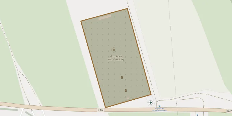
Built shortly after the Second World War and maintained by the Commonwealth War Graves Commission, the cemetery holds 2,934 Commonwealth burials, 93 of them unidentified. It lies near the village of Durnbach in Gmund am Tegernsee, Bavaria. The Durnbach Cremation Memorial is also located here. Visitors can read more on cwgc.org.
Cemetery location
GPS coordinates: 47.778301° N, 11.734200° E Directions in Google Maps (opens in a new tab)
Memorials
No records yet
Photograph a headstone and add it to the archive.
Looking for someone who isn't listed? Request a photo.
Nearby cemeteries
The closest other burial grounds listed on EveryStone.
- Kaltenbrunn German Military Cemetery 3.0 km away · Gmund am Tegernsee
- Pfarrkirche St. Ägidius 3.2 km away · Gmund am Tegernsee
- Gmund am Tegernsee Mountain Cemetery 3.2 km away · Gmund am Tegernsee
- Schaftlach Cemetery 4.1 km away · Schaftlach
- Waakirchen East Cemetery 4.4 km away · Waakirchen
- St. Johann Baptist Churchyard 5.9 km away · Warngau
- Oberwarngau Cemetery 5.9 km away · Warngau
- Agatharied Cemetery 6.9 km away · Agatharied
- Osterwarngau War Cemetery 7.0 km away · Osterwarngau
- Miesbach Woodland Cemetery 7.0 km away · Miesbach
Contribute with the app
Our website works smoothly on both desktop and mobile devices. Prefer a native app? Check it out below.
- Capture clear headstone photos
- Save GPS grave locations automatically
- Transcribe inscriptions with our AI
- Suggest corrections to existing records
Common questions
How big is Durnbach War Cemetery?
Durnbach War Cemetery covers about 22,000 m² (5.4 acres), about the size of 3 soccer fields. It is the 267th largest of the 5,401 cemeteries we list in Bavaria.