
444
documented records
≈ 450–670
approx. capacity (graves)
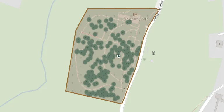
0.014 km²
cemetery area
Nov 6, 2026
last modified
About this cemetery
The municipality of Ruhpolding regulates the use of its municipal cemetery, known as the Neuer Friedhof. A separate mountain cemetery stands beside the parish church of St. Georg.
Cemetery location
GPS coordinates: 47.760555° N, 12.641788° E Directions in Google Maps (opens in a new tab)
Memorials
Showing the first 50 of 444, A–Z by surname. Search all records
 Gerhard Aeger 1922 – 1985
- Hertha Aeger 1931 – 1986
 Elisabeth Ahammer 1892 – 1967
- Karl Ahammer 1877 – 1960
 Therese Aiglsburger 1929 – 2018
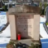 Adolf Albrecht 1912 – 1953
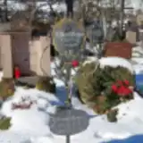 Anita Albrecht 1960 – 1965
- Therese Albrecht 1912 – 2007
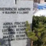 Heinrich Arnoth 1909 – 2002
 Franziska Baldauf 1913 – 1992
- Josef Baldauf 1907 – 1990
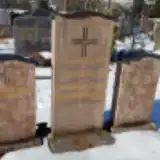 Maria Barrenbrugge 1920 – 2000
- Rudolf Barrenbrugge 1915 – 1978
 Eduard Bauer Brendt 1875 – 1945
 Anton Beilhack 1916 – 1976
- Klara Beilhack 1919 – 1977
 Christoph Beltle 1944 – 1944
 Erika Bender 1923 – 2000
- Kurt Bender 1925 – 2011
 Basil Berger 1928 – 2016
- Josef Bettle 1907 – 1991
- Michael Bettle 1940 – 1989
 Fanny Biecheler 1891 – 1980
- Franz Biecheler 1918 – 1941
- Hermann Biecheler 1914 – 1995
- Hermann Biecheler 1887 – 1972
- Hilde Biecheler 1920 – 2013
 Edith Biggen 1923 – 2018
- Ernst Biggen 1913 – 1987
 Alex Birkenmeier 1932 – 2017
 Elisabeth Brenner 1910 – 2005
 Anni Buschhüter 1921 – 1992
- Willy Buschhüter 1947 – 2005
- Willy Buschhüter 1908 – 1977
 Katharina Christlmaier 1911 – 1964
- Ludwig Christlmaier 1901 – 1967
 Will Corsten 1902 – 1987
 Erika Daburger 1939 – 2021
 Lars-Oliver Dieblin 1966 – 2020
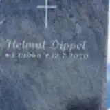 Helmut Dippel 1946 – 2020
 Maria Ebert 1884 – 1930
 Mathias Eckart 1907 – 1944
- Therese Eckart 1913 – 1989
 Josef Etschberger 1892 – 1970
- Maria Etschberger 1892 – 1958
 Franz Faselwarter 1920 – 2007
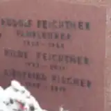 Hilde Feichtner 1923 – 2011
- Rudolf Feichtner 1923 – 1963
- Josef Figlsburger 1929 – 2007
- Siegfried Fischer 1945 – 2019
Looking for someone who isn't listed? Request a photo.
Nearby cemeteries
The closest other burial grounds listed on EveryStone.
- Ruhpolding Mountain Cemetery 220 m away · Ruhpolding · 248 records
- Eisenärzt Cemetery 4.3 km away · Siegsdorf · 54 records
- Hammer Cemetery 6.4 km away · Hammer
- Bergen Cemetery 6.5 km away · Bergen
- Siegsdorf Cemetery 7.1 km away · Siegsdorf
- Niederachen Inzell Cemetery 7.1 km away · Inzell · 172 records
- Weißachen Cemetery 7.3 km away · Weißachen
- Vachendorf Cemetery 9.4 km away · Vachendorf
- Weißbach St. Vincent Cemetery 10 km away · Weißbach
- Haslach Cemetery (Annunciation of Mary) 11 km away · Traunstein · 113 records
Contribute with the app
Our website works smoothly on both desktop and mobile devices. Prefer a native app? Check it out below.
- Capture clear headstone photos
- Save GPS grave locations automatically
- Transcribe inscriptions with our AI
- Suggest corrections to existing records
Common questions
How big is Ruhpolding Municipal Cemetery?
Ruhpolding Municipal Cemetery covers about 14,000 m² (3.5 acres), about the size of 2 soccer fields. It is the 444th largest of the 5,401 cemeteries we list in Bavaria.
What is the oldest grave in this cemetery?
The oldest grave among the records we hold for Ruhpolding Municipal Cemetery is that of Hilde Schiller, who died in 1927 at the age of 15.