
124
documented records
≈ 710–1,400
approx. capacity (graves)
0.035 km²
cemetery area
Nov 5, 2026
last modified
About this cemetery
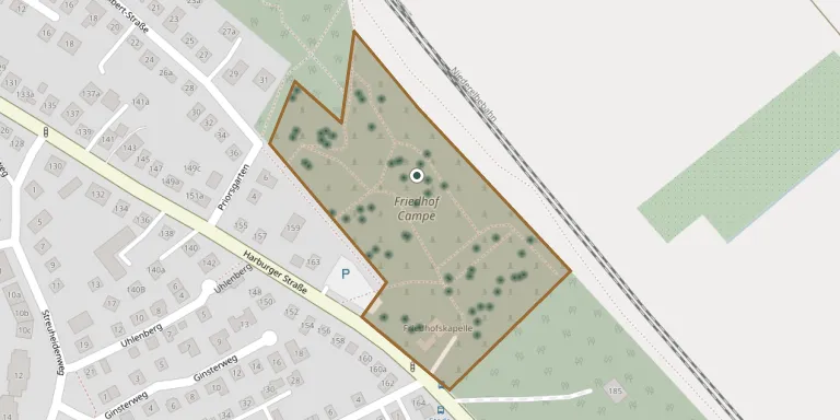
The Friedhof Campe is a municipal cemetery of the Hanseatic city of Stade, set among old trees directly on Harburger Straße. It covers about 49,500 square metres and has a cemetery chapel. A war graves area holds people who died of illness and malnutrition in a Stade collection camp, some in 1943-44 and most after the end of the war in 1945-46. For more information, see stadt-stade.info.
Cemetery location
GPS coordinates: 53.585833° N, 9.497218° E Directions in Google Maps (opens in a new tab)
Memorials
Showing the first 50 of 124, A–Z by surname. Search all records
 Clara Anton 1909 – 2011
 Emma Behrens 1905 – 1987
- Henry Behrens 1926 – 1996
- Hinrich Behrens 1900 – 1962
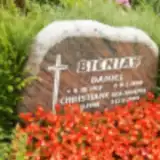 Christiane Bienias 1908 – 1999
- Daniel Bienias 1917 – 1990
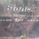 Kurt Blanck 1928 – 1999
- Heiner Blonck 1958 – 1995
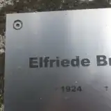 Elfriede Bremer 1924 – 2009
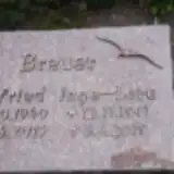 Inge-Lore Breuer 1941 – 2019
- Wilfried Breuer 1940 – 2013
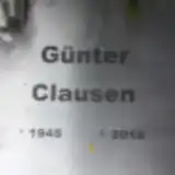 Günter Clausen 1945 – 2018
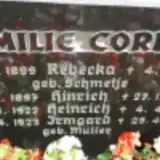 Heinrich Cordes 1922 – 1997
- Hinrich Cordes 1897 – 1985
- Irmgard Cordes 1923 – 2018
- Rebecka Cordes 1899 – 1979
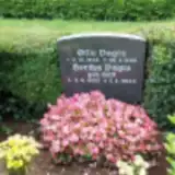 Hertha Dagts 1925 – 2003
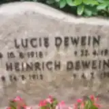 Heinrich Dewein 1915 – 1999
- Lucie Dewein 1918 – 1997
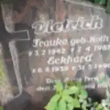 Eckhard Dietrich 1939 – 1990
- Frauke Dietrich 1942 – 1989
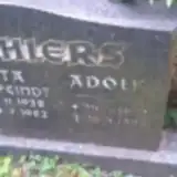 Adolf Ehlers 1932 – 1993
- Rita Ehlers 1938 – 1982
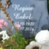 Regine Enkel 1920 – 2016
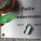 Felix Federmann 2017 – 2017
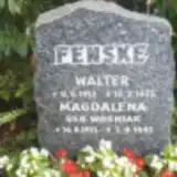 Magdalena Fenske 1913 – 1997
- Walter Fenske 1912 – 1975
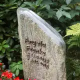 Angela Franke 1953 – 2012
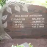 Elisabeth Franz 1925 – 1984
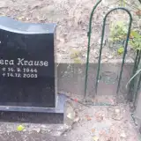 Elli Franz 1919 – 1990
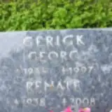 Georg Gerigk 1934 – 1997
- Renate Gerigk 1938 – 2008
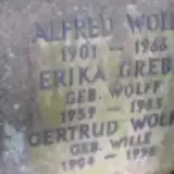 Erika Grebe 1939 – 1983
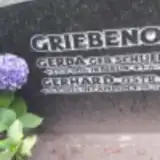 Gerda Griebenow 1914 – 1988
- Gerhard Griebenow 1915 – 2010
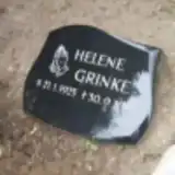 Helene Grinke 1925 – 2017
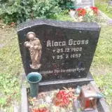 Klara Gross 1908 – 1997
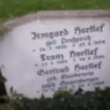 Franz Hartlef 1929 – 1999
- Gertrud Hartlef 1918 – 2004
- Irmgard Hartlef 1930 – 1979
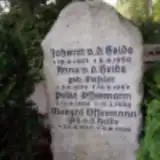 Anna Heide 1872 – 1957
- Johann Heide 1867 – 1950
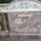 Linda Henning 1926 – 2016
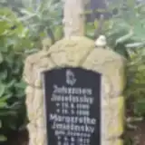 Margarethe Imielinsky 1913 – 1998
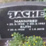 Mannfred Jache 1935 – 1982
- Ruth Jache 1936 – 2015
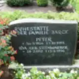 Ida Jarck 1912 – 1996
- Peter Jarck 1904 – 1985
- Johannes Jmielinsky 1909 – 1996
 Adolf Kamotzki 1920 – 1975
Looking for someone who isn't listed? Request a photo.
Nearby cemeteries
The closest other burial grounds listed on EveryStone.
- Stade Old Garrison Cemetery 2.1 km away · Stade
- Hansestadt Stade Jewish Cemetery 2.2 km away · Hansestadt Stade
- Horst Cemetery, Hansestadt Stade 2.5 km away · Hansestadt Stade
- Barge Cemetery 2.6 km away · Stade · 52 records
- Freiburger Straße Cemetery 3.1 km away · Hansestadt Stade
- Ruheforst Agathenburg 3.7 km away · Agathenburg
- Geestberg Cemetery 3.8 km away · Kehdingertors Vorstadt
- Agathenburg Cemetery 3.8 km away · Agathenburg · 16 records
- Hollern Cemetery 4.0 km away · Siebenhöfen
- Twielenfleth Cemetery 4.1 km away · Hollern-Twielenfleth
Contribute with the app
Our website works smoothly on both desktop and mobile devices. Prefer a native app? Check it out below.
- Capture clear headstone photos
- Save GPS grave locations automatically
- Transcribe inscriptions with our AI
- Suggest corrections to existing records
Common questions
How big is Campe Cemetery?
Campe Cemetery covers about 35,000 m² (8.7 acres), about the size of 5 soccer fields. It is the 206th largest of the 3,526 cemeteries we list in Lower Saxony.
What is the oldest grave in this cemetery?
The oldest grave among the records we hold for Campe Cemetery is that of Metta Köster, who died on August 12, 1912 at the age of 48.