
24
documented records
≈ 230–460
approx. capacity (graves)
0.012 km²
cemetery area
Nov 5, 2026
last modified
About this cemetery
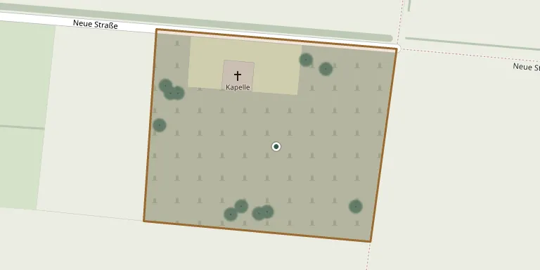
The cemetery lies in the centre of the municipality of Kutenholz in the Stade district and has a cemetery chapel at Neue Straße 16.
Cemetery location
GPS coordinates: 53.484591° N, 9.329740° E Directions in Google Maps (opens in a new tab)
Memorials
24 memorials, A–Z by surname.
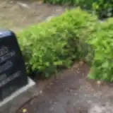 Frieda Blank 1898 – 1970
- Hinrich Blank 1896 – 1967
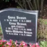 Erna Braun 1921 – 2010
- Hans Braun 1923 – 1983
- Hans-Wilhelm Braun 1958 – 2004
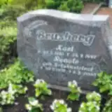 Karl Brusberg 1910 – 1997
- Renate Brusberg 1935 – 2005
 Anna Buchholz 1914 – 1997
- Fritz Buchholz 1914 – 1995
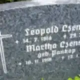 Leopold Czense 1914 – 1997
- Martha Czense 1916 – 1995
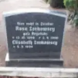 Elisabeth Lorkowscy ? – 1934
- Rosa Lorkowscy 1898 – 1980
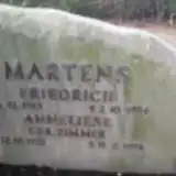 Anneliese Martens 1921 – 1998
- Friedrich Martens 1913 – 1994
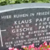 Gesche Pape 1910 – 1999
- Klaus Pape 1912 – 1992
 Hanna Paulsen 1916 – 2002
- Paul Paulsen 1908 – 1987
 Gretchen Peters ? – 1887
- Klaus Peters 1938 – 1938
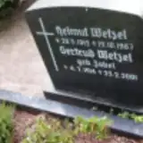 Gertrud Wetzel 1914 – 2001
- Helmut Wetzel 1912 – 1967
- Anna Zimmer 1893 – 1983
Looking for someone who isn't listed? Request a photo.
Nearby cemeteries
The closest other burial grounds listed on EveryStone.
- Klein Aspe Cemetery 2.2 km away · Kutenholz
- Essel Cemetery 3.4 km away · Kutenholz · 14 records
- Mulsum New Cemetery 3.4 km away · Mulsum
- Groß Aspe Cemetery 3.8 km away · Aspe
- Brest Cemetery 5.4 km away · Brest
- Byhusen Cemetery 5.4 km away · Byhusen
- Wedel Cemetery 5.4 km away · Wedel
- Reith Cemetery 5.5 km away · Reith
- Hohenmoor Cemetery 5.7 km away · Kutenholz
- Farven Cemetery 5.8 km away · Farven
Contribute with the app
Our website works smoothly on both desktop and mobile devices. Prefer a native app? Check it out below.
- Capture clear headstone photos
- Save GPS grave locations automatically
- Transcribe inscriptions with our AI
- Suggest corrections to existing records
Common questions
How big is Kutenholz Cemetery?
Kutenholz Cemetery covers about 12,000 m² (2.9 acres), about the size of 2 soccer fields. It is the 835th largest of the 3,526 cemeteries we list in Lower Saxony.
What is the oldest grave in this cemetery?
The oldest grave among the records we hold for Kutenholz Cemetery is that of Gretchen Peters, who died on June 28, 1887.