
21
documented records
≈ 530–1,100
approx. capacity (graves)
0.027 km²
cemetery area
Nov 5, 2026
last modified
About this cemetery
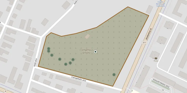
The Csengettyűs cemetery lies below Csengettyűs utca in Cegléd and serves as the burial place of the local Catholic community.
Cemetery location
GPS coordinates: 47.178877° N, 19.797686° E Directions in Google Maps (opens in a new tab)
Memorials
21 memorials, A–Z by surname.
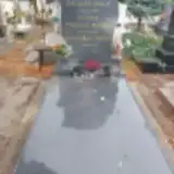 János Bacskai 1954 – 2024
- János Bacskai 1931 – 1995
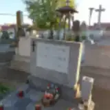 Irma Balint 1901 – 1989
- Matild Balint 1895 – 1965
- Ferenc Bálint 1910 – 1983
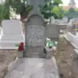 József Bencze 1906 – 1989
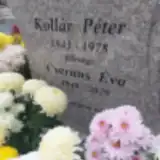 Éva Csernus 1948 – 2020
- Aranka Gór 1909 – 1976
- Mátyás Gór 1880 – 1934
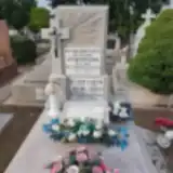 Istvánné Horváth 1933 – 2011
- Sándor Katona 1927 – 1991
- Erzsébet Kecskeméti 1931 – 2022
- János Kecskeméti 1901 – 1971
- Jánosné Kecskeméti 1905 – 1990
- Rozsa Kecskeméti 1927 – 1988
- Péter Kollár 1943 – 1978
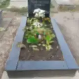 András Petrik 1941 – 1989
- Mária Pozsgai 1937 – 2022
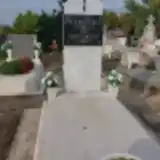 Mária Svajkort 1912 – 2010
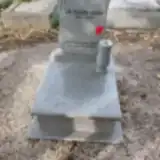 Gábor Szigethi 1960 – 2024
- Győző Vezner 1910 – 1992
Looking for someone who isn't listed? Request a photo.
Nearby cemeteries
The closest other burial grounds listed on EveryStone.
- Cegléd Mező Street Evangelical Cemetery 310 m away · Cegléd
- Cegléd Old Reformed Cemetery 480 m away · Cegléd
- Cegléd Calvary Cemetery 1.1 km away · Cegléd · 39 records
- Cegléd Small Reformed Cemetery 1.3 km away · Cegléd
- Újváros Reformed Cemetery, Cegléd 2.8 km away · Cegléd
- Újváros Cemetery, Cegléd 2.9 km away · Cegléd
- Újváros Jewish Cemetery 2.9 km away · Cegléd
- Nyársapát Cemetery 9.2 km away · Nyársapát
- Csemő Cemetery 9.7 km away · Csemő
- Ceglédbercel Cemetery 11 km away · Ceglédbercel
Contribute with the app
Our website works smoothly on both desktop and mobile devices. Prefer a native app? Check it out below.
- Capture clear headstone photos
- Save GPS grave locations automatically
- Transcribe inscriptions with our AI
- Suggest corrections to existing records
Common questions
How big is Csengettyűs Cemetery, Cegléd?
Csengettyűs Cemetery, Cegléd covers about 27,000 m² (6.6 acres), about the size of 4 soccer fields. It is the 76th largest of the 332 cemeteries we list in Pest.
What is the oldest grave in this cemetery?
The oldest grave among the records we hold for Csengettyűs Cemetery, Cegléd is that of Mátyás Gór, who died in 1934 at the age of 54.