
Cemetery #190145
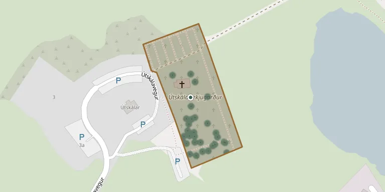
Útskálar Churchyard, Garður
Local name: Útskálakirkjugarður, Garði
Also known as Útskálakirkjugarður
46
documented records
≈ 160–320
approx. capacity (graves)
8,040 m²
cemetery area
Nov 5, 2026
last modified
About this cemetery
This churchyard belongs to Útskálar in Garður, in the municipality of Suðurnesjabær. Útskálar is a church site and parsonage and was one of the major estates on the Southern Peninsula. The present timber church was built in 1861-63.
Cemetery location
GPS coordinates: 64.077835° N, 22.665213° W Directions in Google Maps (opens in a new tab)
Memorials
46 memorials, A–Z by surname.
 Magnús Arnar 1944 – 1947
 Sveinbjörn Árnason 1899 – 1977
 Sveinbjörn Ársælsson 1941 – 1985
 Oddur Björnsson 1878 – 1948
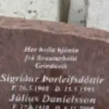 Júlíus Daníelsson 1910 – 2000
 Gestur Einarsson 1910 – 1964
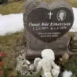 Ómar Einarsson 1977 – 1979
- Unnur Gísladóttir 1934 – 1934
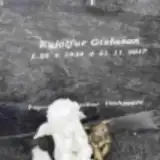 Eyjólfur Gíslason 1934 – 2017
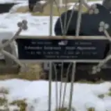 Guðmundur Guðjónsson 1913 – 1981
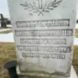 Jónína Guðmundsdóttir 1882 – 1970
 Þóranna Guðmundsdóttir 1877 – 1943
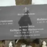 Guðbjörn Hjálmarsson 1982 – 1995
 Magnúsdóttir Ingibjörg 1861 – 1933
- Guðjónsson Ingimundur 1886 – 1958
 Kristín Jóhannesdóttir 1944 – 1987
 Þuríður Jónsdóttir 1880 – 1955
 Ingveldur Karlsdóttir 1908 – 1992
- Hjálmar Kristinsson 1933 – 2010
 Kristjana Kristjánsdóttir 1885 – 1975
 Sigurður Kristjánsson 1886 – 1983
 Stefanía Kristvinsdóttir 1926 – 1953
- Kristín Magnúsdóttir 1918 – 2010
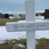 Karl Njálsson 1936 – 2011
- Anna Oddsdóttir 1899 – 1915
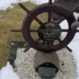 Svavar Óskarsson 1939 – 1992
- Guðjónína Sæmundsdóttir 1892 – 1960
- Sigurður Sæmundsson 1861 – 1911
- Þorleifsdóttir Sigríður 1908 – 1995
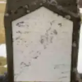 Brynjólfur Sigurðsson 1838 – 1838
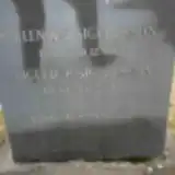 Erlendur Sigurðsson 1891 – 1979
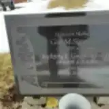 Gísli Sigurðsson 1895 – 1982
 Guðmann Sigurðsson 1914 – 1983
- Sigurður Sigurðsson 1895 – 1985
- Halldóra Stefansdóttir 1947 – 2011
- Anna Steinsdóttir 1916 – 1989
 Sigurlaug Sveinbjarnardóttir 1849 – 1932
- Ársæll Sveinbjörnsson 1910 – 1979
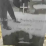 Jónatan Sveinbjörnsson 1920 – 1951
- Guðbjörg Tómasdóttir 1862 – 1921
 Eiríkur Torfason 1859 – 1956
- Lilja Vilhjálmsdóttir 1909 – 2004
 Vilhjálmr Vilhjálmsson 1949 – 2017
- Palina Þorleifsdóttir 1911 – 1997
- Halldór Þorsteinsson 1887 – 1980
 Ívar Þorsteinsson 1905 – 1913
Looking for someone who isn't listed? Request a photo.
Nearby cemeteries
The closest other burial grounds listed on EveryStone.
- Hólmberg Churchyard 7.1 km away · Reykjanesbær
- Keflavík Churchyard 9.7 km away · Reykjanesbær
- Hvalsnes Churchyard 10 km away · Sandgerði · 47 records
- Njarðvík Churchyard 13 km away · Reykjanesbær
- Kirkjuvogur Parish Churchyard 16 km away · Hafnir
- Staður Churchyard, Grindavík 29 km away · Grindavík · 2 records
- Garðar Churchyard 32 km away · Garðabær
- Bessastaðakirkja Bessastaðir Church 33 km away · Reykjavíkurborg
- Hafnarfjörður Churchyard 35 km away · Hafnarfjörður
- Hólavallagarður Cemetery 36 km away · Reykjavíkurborg · 34 records
Contribute with the app
Our website works smoothly on both desktop and mobile devices. Prefer a native app? Check it out below.
- Capture clear headstone photos
- Save GPS grave locations automatically
- Transcribe inscriptions with our AI
- Suggest corrections to existing records
Common questions
How big is Útskálar Churchyard, Garður?
Útskálar Churchyard, Garður covers about 8,040 m² (2 acres), about the size of a soccer field. It is the 3rd largest of the 7 cemeteries we list in Southern Peninsula.
What is the oldest grave in this cemetery?
The oldest grave among the records we hold for Útskálar Churchyard, Garður is that of Brynjólfur Sigurðsson, who died on November 27, 1838 at the age of 0.