
10
documented records
≈ 170–340
approx. capacity (graves)
8,610 m²
cemetery area
Oct 29, 2026
last modified
About this cemetery
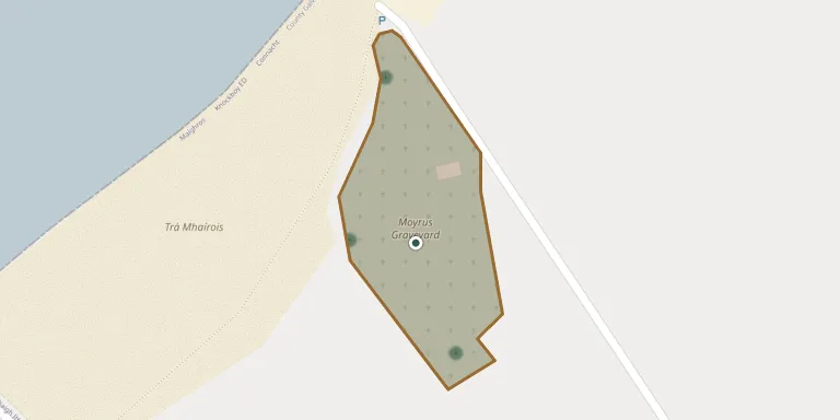
Moyrus Cemetery lies in Knockboy, County Galway, Ireland.
Cemetery location
GPS coordinates: 53.340060° N, 9.882090° W Directions in Google Maps (opens in a new tab)
Memorials
10 memorials, A–Z by surname.
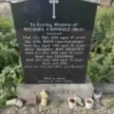 Coleman Conneely ? – 2006
- Kate Conneely ? – 1989
- May Conneely ? – 2003
- Michael Conneely ? – 1938
- Pat Conneely 1929 – 2014
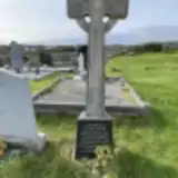 Annie Greene 1928 – 1973
- Padraic Greene 1911 – 1992
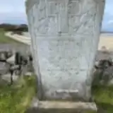 Anne King ? – 1970
- James King 1881 – 1963
- Margaret King ? – 1976
Looking for someone who isn't listed? Request a photo.
Nearby cemeteries
The closest other burial grounds listed on EveryStone.
- Saint Mary's Catholic Churchyard, Carna 3.4 km away · Knockboy
- Mynish Cemetery 5.1 km away · Carna · 13 records
- St. Matthew Cemetery 6.3 km away · Roundstone
- Gurteen Cemetery 6.7 km away · Ervallagh Oughter
- Cill Chiaráin Cemetery 9.9 km away · Kilkieran
- High Cashel Cemetery 11 km away · Roundstone
- Callow Roundstone Graveyard 12 km away · Callow
- Ballinafad New Graveyard 14 km away · Killeen
- Ballinafad Old Graveyard 14 km away
- Lettermullen Graveyard 15 km away · Lettermullan
Contribute with the app
Our website works smoothly on both desktop and mobile devices. Prefer a native app? Check it out below.
- Capture clear headstone photos
- Save GPS grave locations automatically
- Transcribe inscriptions with our AI
- Suggest corrections to existing records
Common questions
How big is Moyrus Cemetery?
Moyrus Cemetery covers about 8,610 m² (2.1 acres), about the size of a soccer field. It is the 28th largest of the 250 cemeteries we list in County Galway.
What is the oldest grave in this cemetery?
The oldest grave among the records we hold for Moyrus Cemetery is that of Michael Conneely, who died on November 11, 1938.