
Cemetery #19059
Roderwolde Cemetery
Local name: Algemene Begraafplaats Roderwolde
Also known as Begraafplaats Roderwolde
14
documented records
≈ 31–62
approx. capacity (graves)
1,560 m²
cemetery area
Nov 5, 2026
last modified
About this cemetery
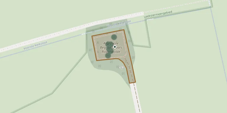
This general cemetery lies on the Pastorielaan in Roderwolde, in the municipality of Noordenveld, Drenthe. It is described as the oldest churchyard still in use in the municipality. A simple bier house on a rectangular plan, built in 1843, stands on the grounds and is listed as a national monument.
Cemetery location
GPS coordinates: 53.174900° N, 6.468900° E Directions in Google Maps (opens in a new tab)
Memorials
14 memorials, A–Z by surname.
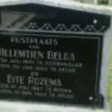 Willemtien Belga 1871 – 1942
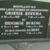 Albert Buring 1941 – 1941
- Hendrik Buring 1901 – 1997
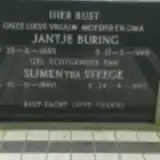 Jantje Buring 1885 – 1969
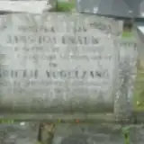 Jans Hagenauw 1877 – 1949
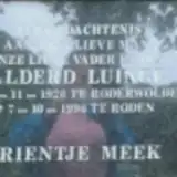 Alderd Luinge 1920 – 1996
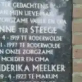 Henderika Meelker 1923 – 2009
 Hinderkien Rademaker 1900 – 1980
- Eite Rozema 1867 – 1943
- Grietje Rozema 1901 – 1941
 Christina Staal 1912 – 2014
- Anne ter Steege 1919 – 1997
- Sijmen ter Steege 1880 – 1973
- Grietje Vogelzang 1881 – 1959
Looking for someone who isn't listed? Request a photo.
Nearby cemeteries
The closest other burial grounds listed on EveryStone.
- Oostwold General Cemetery 3.5 km away · Oostwold
- Peize Old Cemetery 4.0 km away · Peize · 78 records
- Lettelbert Reformed Church Cemetery 4.5 km away · Lettelbert
- Midwolde General Cemetery 5.1 km away · Midwolde
- Lage Meeden Churchyard 5.2 km away · Lagemeeden
- Hoogkerk Cemetery (old) 5.3 km away · Hoogkerk
- Roden Cemetery 5.5 km away · Roden · 57 records
- Norg Cemetery 5.6 km away · Roden · 73 records
- Hoogkerk Cemetery 5.9 km away · Hoogkerk
- Den Horn Cemetery 6.1 km away · Den Horn
Contribute with the app
Our website works smoothly on both desktop and mobile devices. Prefer a native app? Check it out below.
- Capture clear headstone photos
- Save GPS grave locations automatically
- Transcribe inscriptions with our AI
- Suggest corrections to existing records
Common questions
How big is Roderwolde Cemetery?
Roderwolde Cemetery covers about 1,560 m² (0.4 acres), about the size of 6 tennis courts. It is the 22nd smallest of the 148 cemeteries we list in Drenthe.
What is the oldest grave in this cemetery?
The oldest grave among the records we hold for Roderwolde Cemetery is that of Grietje Rozema, who died on February 20, 1941 at the age of 39.