
477
documented records
≈ 480–720
approx. capacity (graves)
0.010 km²
cemetery area
Nov 6, 2026
last modified
About this cemetery
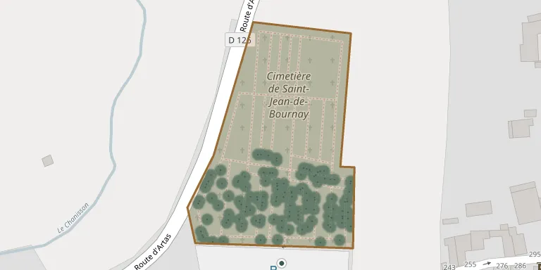
Saint Jean de Bournay lies in Saint-Jean-de-Bournay, Auvergne-Rhône-Alpes, France.
Cemetery location
GPS coordinates: 45.504150° N, 5.149840° E Directions in Google Maps (opens in a new tab)
Memorials
Showing the first 50 of 477, A–Z by surname. Search all records
 Jean-Baptiste Ainard 1889 – 1916
- Rosine Ainard 1890 – 1975
 Madeleine Argoud 1936 – 2012
 Léontine Armanet ? – 1970
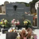 Annette Aulagne 1917 – 2010
- Henri Aulagne 1923 – 1991
- Josette Aulagne 1955 – 2009
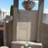 Adrien Bardin 1924 – 1924
- Jean Bardin ? – 1960
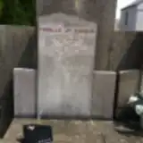 Joseph Bardin 1908 – 1998
- Marcel Bardin ? – 2001
- Mina Bardin 1917 – 1977
- Valentine Bardin 1922 – 1947
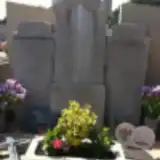 Madeleine Baudrand 1926 – 1958
 Marie-Thérèse Baule 1937 – 1996
- Pierre Baule 1851 – 1927
- Suzanne Baule 1912 – 2007
 Josephine Belmont Fournier 1884 – 1969
 Andree Beraud 1908 – 1997
- Hector Beraud 1909 – 1980
- Anna Berger-Billon 1891 – 1983
- Anna Berger-Billon 1885 – 1888
- François Berger-Billon 1888 – 1975
- François Berger-Billon 1847 – 1930
- Henri Berger-Billon 1919 – 1976
- Henri Berger-Billon 1895 – 1938
- Louise Berger-Billon 1868 – 1933
- Louise Berger-Billon 1895 – 1963
- Marius Berger-Billon 1893 – 1898
- Simone Berger-Billon 1927 – 2006
 Augustine Bernard 1875 – 1883
 Paul Bert 1926 – 1936
 André Berthier 1880 – 1935
- André Berthier 1908 – 1974
- Jean Berthier 1853 – 1918
- Jean Berthier 1829 – 1901
- Jean Berthier 1910 – 1969
- Louise Berthier 1885 – 1947
- Marie-Louise Berthier 1913 – 1980
- Mariette Berthier 1830 – 1902
- Sophie Berthier 1846 – 1909
 Andrée Birrochon 1925 – 1987
- Augustine Birrochon 1824 – 1889
- Claude Birrochon ? – 1961
- Françoise Birrochon 1878 – 1961
- Hippolyte Birrochon ? – 1941
- Julie Birrochon ? – 1931
- Léon Birrochon ? – 1958
- Marie Birrochon ? – 1925
- Marie Birrochon 1895 – 1982
Looking for someone who isn't listed? Request a photo.
Nearby cemeteries
The closest other burial grounds listed on EveryStone.
- Royas Cemetery 3.7 km away · Royas · 29 records
- Artas Cemetery 3.7 km away · Cinquin
- Meyrieu-les-Étangs Cemetery 3.8 km away · Meyrieu-les-Étangs
- Charantonnay Isère France 4.9 km away · Charantonnay · 155 records
- Villeneuve-de-Marc Cemetery 5.2 km away · L'Église
- Lieudieu Cemetery 5.6 km away · Lieudieu
- Chatonnay Cemetery 5.6 km away · Saint-Christophe
- Beauvoir de Marc 5.6 km away · Beauvoir-de-Marc · 95 records
- Mépin Cemetery 6.2 km away · Mépin
- Sainte-Anne-sur-Gervonde Cemetery 6.6 km away · Sainte-Anne-sur-Gervonde
Contribute with the app
Our website works smoothly on both desktop and mobile devices. Prefer a native app? Check it out below.
- Capture clear headstone photos
- Save GPS grave locations automatically
- Transcribe inscriptions with our AI
- Suggest corrections to existing records
Common questions
How big is Saint Jean de Bournay?
Saint Jean de Bournay covers about 10,000 m² (2.5 acres), about the size of a soccer field. It is the 323rd largest of the 4,960 cemeteries we list in Auvergne-Rhône-Alpes.
What is the oldest grave in this cemetery?
The oldest grave among the records we hold for Saint Jean de Bournay is that of Joseph Duclos, who died on August 15, 1870.