
34
documented records
≈ 490–990
approx. capacity (graves)
0.025 km²
cemetery area
Nov 5, 2026
last modified
About this cemetery
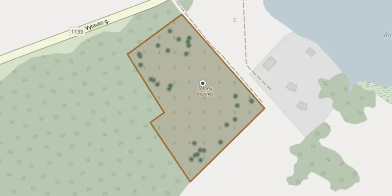
Raižiai is a village in Punia eldership, Alytus district, known as a centre of Lithuania's Tatar community. Its surroundings have 13 Tatar Muslim cemeteries, two of them still in use, and the village itself has several old Tatar cemeteries.
Cemetery location
GPS coordinates: 54.475565° N, 24.181308° E Directions in Google Maps (opens in a new tab)
Memorials
34 memorials, A–Z by surname.
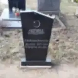 Almyra Aleksandravičienė 1911 – 1994
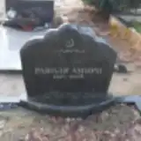 Ravilia Amiri 1927 – 2008
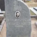 Tatjana Asanavičienė 1930 – 2000
- Aleksandras Asanavičius 1925 – 1978
 Jokūbas Asanavičius 1927 – 2019
 Marijona Asanovičienė 1937 – 2017
 Lima Baranauskienė 1941 – 2010
 Elena Chaleckaitė 1897 – 1989
- Rozalija Chaleckaitė 1922 – 2015
- Stepas Chaleckas 1898 – 1977
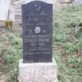 Felicija Chaleckienė 1857 – 1935
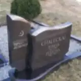 Felicija Chaleckienė 1916 – 2001
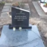 Romualdas Jakubauskas 1895 – 1967
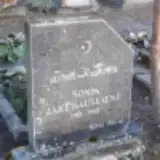 Sonia Jakubauskienė 1911 – 1998
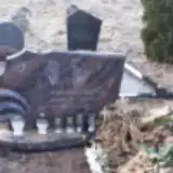 Romas Jokubauskas 1927 – 2010
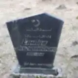 Emilija Juozapavičienė 1895 – 1940
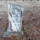 Jonas Kanarskas 1891 – 1953
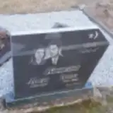 Juozas Kanarskas 1930 – 1998
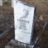 Elena Kanarskienė 1907 – 1970
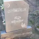 Zofija Krinickienė 1910 – 1994
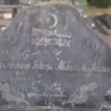 Juozas Makaveckas 1903 – 1985
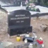 Dovydas Milkamanavičius 1932 – 2011
 Alevtina Orlova 1939 – 2002
 Chalilis Radlinskas 1871 – 1953
 Zina Rajeckienė 1920 – 1999
 Juozas Ramanauskas 1921 – 1988
 Felė Ramanauskienė 1923 – 1991
 Emilija Ridzvanavičienė 1860 – 1933
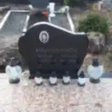 Kostas Ridzvanavičius 1947 – 1968
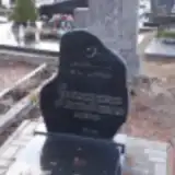 Stepas Ridzvanavičius 1910 – 1990
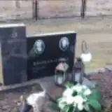 Stepas Ridzvanavičius 1935 – 2014
- Suleimanas Ridzvanovičius 1861 – 1925
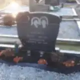 Teklė Strokan 1938 – 2005
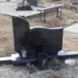 Ženė Vilčinskienė 1913 – 1989
Looking for someone who isn't listed? Request a photo.
Nearby cemeteries
The closest other burial grounds listed on EveryStone.
- Raiziai Old Tatar Cemetery 260 m away · Raiziai
- Kerai Old Tatar Cemetery 360 m away · Kerai
- Raiziai Old Tatar Cemetery 640 m away · Raiziai
- Raiziai Old Tatar Cemetery 1.0 km away · Raiziai
- Valiūnai Village Cemetery 1.7 km away · Valiūnai
- Paliepių Cemetery 2.7 km away · Raižiai · 1 record
- Kružiūnai Village Cemetery 2.9 km away · Kružiūnai
- Silgioniai Cemetery 3.3 km away · Gerkiškės
- Taučionys Village Cemetery 3.5 km away · Taučionys
- Radvilonių Cemetery 4.4 km away · Juočiškės
Contribute with the app
Our website works smoothly on both desktop and mobile devices. Prefer a native app? Check it out below.
- Capture clear headstone photos
- Save GPS grave locations automatically
- Transcribe inscriptions with our AI
- Suggest corrections to existing records
Common questions
How big is Raižiai Cemetery?
Raižiai Cemetery covers about 25,000 m² (6.1 acres), about the size of 3 soccer fields. It is the 15th largest of the 280 cemeteries we list in Alytus County.
What is the oldest grave in this cemetery?
The oldest grave among the records we hold for Raižiai Cemetery is that of Suleimanas Ridzvanovičius, who died in 1925 at the age of 64.