
10
documented records
≈ 47–95
approx. capacity (graves)
2,370 m²
cemetery area
Nov 5, 2026
last modified
About this cemetery
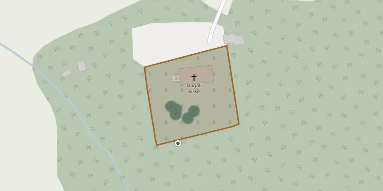
Royal permission to establish a cemetery at Dagali was granted in 1817, on land belonging to the farm Søndre Randberg, and it was taken into use two years later. Dagali became its own parish in 1846, and the church there was consecrated in 1850. It lies in Hol municipality, Buskerud.
Cemetery location
GPS coordinates: 60.416178° N, 8.468746° E Directions in Google Maps (opens in a new tab)
Memorials
10 memorials, A–Z by surname.
 Rangdi Aasen 1860 – 1928
- Siver Aasen 1867 – 1935
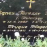 Agnes Hagen 1907 – 1990
- Trygve Hagen 1911 – 2005
 Magnus Halland 1912 – 1997
- Margit Halland 1916 – 2007
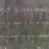 Knut Hvammen 1857 – 1935
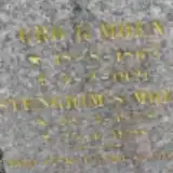 Gro Moen 1862 – 1921
- Stengrim Moen 1858 – 1928
 Johannes Myren 1912 – 1973
Looking for someone who isn't listed? Request a photo.
Nearby cemeteries
The closest other burial grounds listed on EveryStone.
- Tunhovd Churchyard 16 km away · Tunhovd · 7 records
- Geilo Cemetery 19 km away · Geilo
- Geilo Churchyard 19 km away · Geilo
- Hol Churchyard 21 km away · Hol Municipality
- Uvdal Kirke 23 km away · Nore · 97 records
- Hol Old Church & Cemetery 24 km away · Hol kirke
- Aal Cemetery 24 km away · Ål
- Ål kyrkjegard 24 km away · Ål
- Torpo Cemetery 31 km away · Torpo
- Torsteinsrud Cemetery 31 km away · Ål
Contribute with the app
Our website works smoothly on both desktop and mobile devices. Prefer a native app? Check it out below.
- Capture clear headstone photos
- Save GPS grave locations automatically
- Transcribe inscriptions with our AI
- Suggest corrections to existing records
Common questions
How big is Dagali Churchyard?
Dagali Churchyard covers about 2,370 m² (0.6 acres), about the size of 9 tennis courts. It is the 8th smallest of the 79 cemeteries we list in Buskerud.
What is the oldest grave in this cemetery?
The oldest grave among the records we hold for Dagali Churchyard is that of Gro G. Moen, who died on February 5, 1921 at the age of 58.