
11
documented records
≈ 120–230
approx. capacity (graves)
5,750 m²
cemetery area
Oct 29, 2026
last modified
About this cemetery
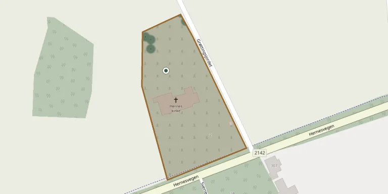
The cemetery serves Hernes parish in Elverum municipality, whose stone church was designed by Gunnar Bjerke and consecrated in 1935.
Cemetery location
GPS coordinates: 60.927030° N, 11.633485° E Directions in Google Maps (opens in a new tab)
Memorials
11 memorials, A–Z by surname.
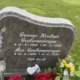 Åse Grafscønningen 1930 – 2020
- Gunnar Grafstønningen 1924 – 2019
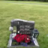 Gunvor Håberget 1934 – 2019
- Henry Håberget 1937 – 2022
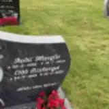 Bodil Hauglie 1958 – 2018
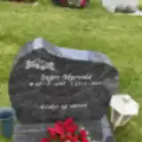 Inger Myrvold 1947 – 2017
- Odd Risberget 1956 – 2021
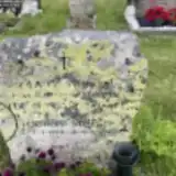 Hjørdis Støkket 1924 – 2006
- Leif Støkket 1944 – 1999
- Ola Støkket 1913 – 1997
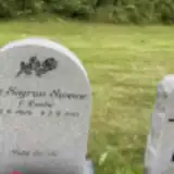 Liv Sween 1924 – 2015
Looking for someone who isn't listed? Request a photo.
Nearby cemeteries
The closest other burial grounds listed on EveryStone.
- Elverum Churchyard 6.6 km away · Elverum · 9 records
- Sørskogbygda Kirke Cemetery 7.8 km away · Elverum
- Nordskog Churchyard 8.0 km away · Hernes · 25 records
- Heradsbygd Churchyard 12 km away · Heradsbygd
- Løten Kirke Cemetery 20 km away · Løten
- Risberget Cemetery 24 km away · Risberget
- Øvre Vang Churchyard 25 km away · Hamar · 14 records
- Åmot Churchyard 27 km away · Rena · 58 records
- Romedal Churchyard 28 km away · Romedal · 502 records
- Vallset Churchyard 30 km away · Stange
Contribute with the app
Our website works smoothly on both desktop and mobile devices. Prefer a native app? Check it out below.
- Capture clear headstone photos
- Save GPS grave locations automatically
- Transcribe inscriptions with our AI
- Suggest corrections to existing records
Common questions
How big is Hernes Churchyard?
Hernes Churchyard covers about 5,750 m² (1.4 acres), about the size of a soccer field. It is the 35th smallest of the 159 cemeteries we list in Innlandet.
What is the oldest grave in this cemetery?
The oldest grave among the records we hold for Hernes Churchyard is that of Ola G. Støkket, who died on September 30, 1997 at the age of 83.