
75
documented records
≈ 100–210
approx. capacity (graves)
5,140 m²
cemetery area
Nov 5, 2026
last modified
About this cemetery
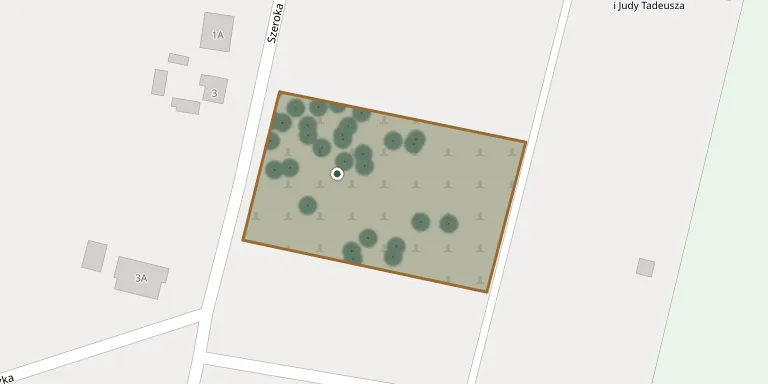
Kołaczkowo Parish Cemetery lies in Greater Poland Voivodeship, Poland.
Cemetery location
GPS: GPS coordinates: 52.217295° N, 17.617060° E Directions in Google Maps (opens in a new tab)
Memorials
Showing the first 50 of 75, A–Z by last name. Search all records
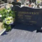 Ewa Andrzejewska ? – 1975
- Gabriela Andrzejewska 1982 – 1982
- Helena Andrzejewska 1927 – 1996
- Andrzej Andrzejewski 1947 – 1997
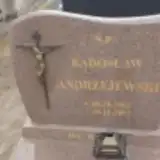 Radosław Andrzejewski 1963 – 2007
 Antoni Cieślak 1865 – 1953
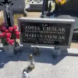 Marian Cieślak 1927 – 2012
- Zofia Cieślak 1938 – 1997
 Helena Dębicka 1904 – 1983
- Stanisława Dębicka 1903 – 1945
- Edward Dębicki 1935 – 1945
- Jan Dębicki 1897 – 1972
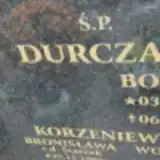 Bogdan Durczak 1933 – 2018
 Kazimierz Floraszak 1948 – 2008
- Mirosława Floraszak 1951 – 1997
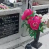 Marianna Frąckowiak 1875 – 1941
- Maria Gawkowska 1914 – 1992
- Rozalia Gawkowska 1894 – 1985
- Stefania Gawkowska 1922 – 1955
- Władysław Gawkowski 1918 – 1985
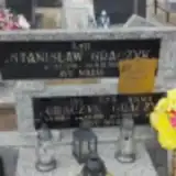 Jan Graczyk 1915 – 1998
- Paweł Graczyk 1950 – 2008
- Stanisław Graczyk 1949 – 1990
- Stefan Graczyk 1959 – 2020
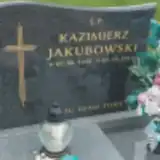 Andrzej Jakubowski 1903 – 1964
- Kazimierz Jakubowski 1942 – 2019
 Andrzej Jędraszak 1882 – 1967
- Bronisława Jędraszak 1885 – 1948
- Zofia Jędraszak 1947 – 2010
 Stefan Jeziorski 1925 – 1995
- Bronisława Korzeniewska 1904 – 1985
- Wojciech Korzeniewski 1903 – 1976
 Czesława Królak 1924 – 1960
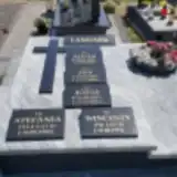 Alicja Langner 1930 – 1998
- Jan Langner 1926 – 2002
- Józef Langner 1927 – 2013
- Stefania Langner ? – 1986
- Wincenty Langner ? – 1975
 Edmund Marczak 1913 – 1956
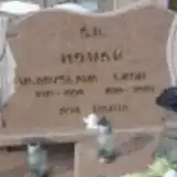 Leon Nowak 1910 – 2003
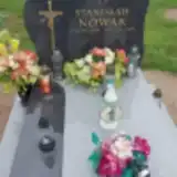 Stanisław Nowak 1939 – 2019
- Władysława Nowak 1919 – 1996
 Małgorzata PLEWIńSKA 1959 – 2018
 Antoni Purol 1878 – 1952
- Jan Purol 1919 – 2002
- Rozalia Purol 1881 – 1967
- Władysława Purol 1922 – 1996
- Antoni Puról 1913 – 1993
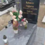 Magdalena Rybacka 1973 – 1988
- Andrzej Rybacki 1947 – 1996
Looking for someone who isn't listed? Request a photo.
Nearby cemeteries
The closest other burial grounds listed on EveryStone.
- Grabowo Królewskie Parish Cemetery 2.7 km away · Grabowo Królewskie · 43 records
- Wszembórz Cemetery 3.6 km away · Wszembórz · 23 records
- Zieliniec Parish Cemetery 4.5 km away · Zieliniec · 18 records
- Września Cemetery 5.7 km away · Września · 23 records
- Biechowo Cemetery 5.7 km away · Biechowo · 85 records
- Bieganowo Roman Catholic Cemetery 6.8 km away · Bieganowo
- Sokolniki Parish Cemetery 6.8 km away · Sokolniki · 27 records
- Pyzdry Cemetery 7.3 km away · Pyzdry · 30 records
- Gozdowo Cemetery 8.5 km away · Gozdowo · 42 records
- Miłosław Municipal Cemetery 9.0 km away · Miłosław
Contribute with the app
Our website works smoothly on both desktop and mobile devices. Prefer a native app? Check it out below.
- Capture clear headstone photos
- Save GPS grave locations automatically
- Transcribe inscriptions with our AI
- Suggest corrections to existing records
Common questions
How big is Kołaczkowo Parish Cemetery?
Kołaczkowo Parish Cemetery covers about 5,140 m² (1.3 acres), about half the size of a soccer field. It is the 546th smallest of the 1,233 cemeteries we list in Greater Poland Voivodeship.
What is the oldest grave in this cemetery?
The oldest grave among the records we hold for Kołaczkowo Parish Cemetery is that of Kazimierz Zajdowicz, who died on September 1, 1924 at the age of 15.