
Cemetery #195562
Grodzisko Dolne Parish Cemetery
Local name: Grodzisko Dolne, cm. parafialny
Also known as Cmentarz Parafii p.w. Sw. Barbary w Grodzisku Doln
36
documented records
≈ 310–610
approx. capacity (graves)
0.015 km²
cemetery area
Nov 5, 2026
last modified
About this cemetery
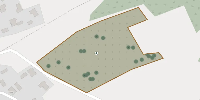
The cemetery of the parish of St. Barbara occupies the eastern part of Grodzisko Dolne, a municipal seat village in Leżajsk County. It is a Roman Catholic parish cemetery.
Cemetery location
GPS: 50.173666° N, 22.453131° E Directions in Google Maps (opens in a new tab)
Memorials
36 memorials, A–Z by last name.
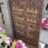 Aniela Baj 1899 – 1973
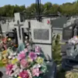 Anna Baj 1886 – 1981
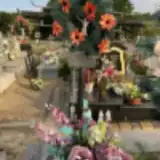 Andrzej Danak 1894 – 1966
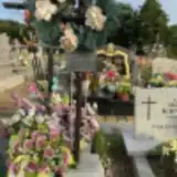 Henryk Danak 1966 – 1966
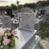 Franciszek Froń 1900 – 1972
- Maria Froń 1901 – 1972
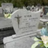 Antoni Gałusza 1881 – 1961
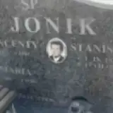 Stanisław Jonik 1932 – 1999
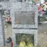 Salomea Kisiel 1910 – 1983
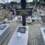 Zygmunt Kruk 1904 – 1939
- Cecylia Kulpa 1925 – 1990
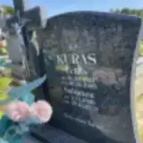 Feliks Kuras 1923 – 1995
- Salomea Kuras 1920 – 2012
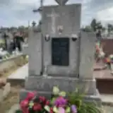 Maria Leja 1877 – 1959
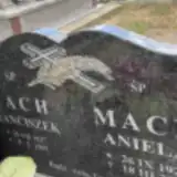 Aniela Mach 1925 – 2020
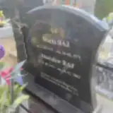 Maria Maj 1931 – 1971
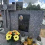 Jan Majkut 1919 – 1958
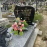 Maria Majkut 1941 – 2010
- Stanisław Majkut 1938 – 2008
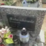 Franciszek Matuszak 1951 – 1996
- Jan Nowak 1912 – 1937
- Józef Nowak 1858 – 1912
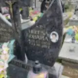 Helena Obara 1951 – 2011
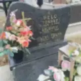 Tomasz Pelc 1905 – 1985
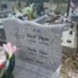 Józef Pyza 1926 – 2011
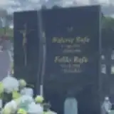 Feliks Rafa 1928 – 2014
- Aniela Rydzik 1924 – 1997
- Józef Rydzik 1915 – 1999
- Wincenty Skiba 1888 – 1952
 Stanisław Ślanda 1927 – 1998
- Helena Sołek 1936 – 2018
 Feliks Urban 1933 – 2018
- Jan Wnęk 1882 – 1954
- Julia Wnęk 1912 – 1998
- Katarzyna Wnęk 1878 – 1959
 Józef Wraga 1896 – 1973
Looking for someone who isn't listed? Request a photo.
Nearby cemeteries
The closest other burial grounds listed on EveryStone.
- Wólka Grodziska Cemetery 4.3 km away · Wólka Grodziska · 6 records
- Chałupki Dębniańskie Parish Cemetery 4.4 km away · Chałupki Dębniańskie
- Zmysłówka Parish Cemetery 4.6 km away · Zmysłówka · 26 records
- Dębno Cemetery 5.7 km away · Dębno
- Dębno Former Greek Catholic Cemetery 5.7 km away · Dębno
- Chodaczów Roman Catholic Cemetery 5.9 km away · Chodaczów
- Gwizdów Roman Catholic Cemetery 7.2 km away · Gwizdów
- Wierzawice Parish Cemetery 7.4 km away · Wierzawice · 18 records
- Tryńcza Cemetery 7.5 km away · Tryńcza
- Korniaktów Północny Parish Cemetery 7.7 km away · Budy Łańcuckie · 48 records
Contribute with the app
Our website works smoothly on both desktop and mobile devices. Prefer a native app? Check it out below.
- Capture clear headstone photos
- Save GPS grave locations automatically
- Transcribe inscriptions with our AI
- Suggest corrections to existing records
Common questions
How big is Grodzisko Dolne Parish Cemetery?
Grodzisko Dolne Parish Cemetery covers about 15,000 m² (3.8 acres), about the size of 2 soccer fields. It is the 212th largest of the 1,346 cemeteries we list in Subcarpathian Voivodeship.
What is the oldest grave in this cemetery?
The oldest grave among the records we hold for Grodzisko Dolne Parish Cemetery is that of Józef Nowak, who died in 1912 at the age of 54.