
Cemetery #195572
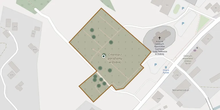
Dobra Parish Cemetery
Local name: Dobra, cmentarz parafialny
Also known as Cmentarz parafialny w Dobrej
18
documented records
≈ 270–530
approx. capacity (graves)
0.013 km²
cemetery area
Nov 5, 2026
last modified
About this cemetery
Dobra Parish Cemetery lies in Lesser Poland Voivodeship, Poland.
Cemetery location
GPS coordinates: 49.714119° N, 20.242992° E Directions in Google Maps (opens in a new tab)
Memorials
18 memorials, A–Z by surname.
 Terenia Brzeń 1976 – 1976
 Jan Chalcarz 1912 – 1990
- Katarzyna Chalcarz 1912 – 1982
 Anna Czech 1921 – 1992
- Józef Czech 1885 – 1925
- Maria Czech 1890 – 1954
- Wojciech Czech 1911 – 1981
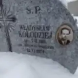 Władysław Kołodziej 1931 – 1974
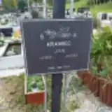 Jan Krawiec 1905 – 1944
 Jan Lach 1866 – 1924
- Maria Lach 1878 – 1951
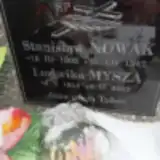 Ludwika Mysza 1914 – 2002
 Stanisław Nowak 1903 – 1974
- Anna Palkij 1887 – 1976
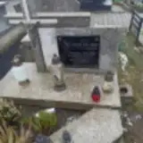 Józef Palkij 1907 – 1982
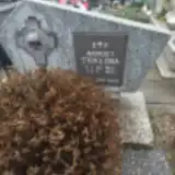 Andrzej Stokłosa 1908 – 1983
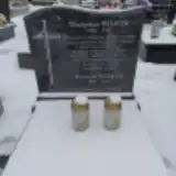 Władysław Wójcik 1899 – 1967
- Wojciech Wójcik 1955 – 2019
Looking for someone who isn't listed? Request a photo.
Nearby cemeteries
The closest other burial grounds listed on EveryStone.
- Jurków Parish Cemetery 3.5 km away · Jurków · 66 records
- Podłopień Parish Cemetery 4.6 km away · Podłopień
- Wilkowisko Parish Cemetery 4.6 km away · Wilkowisko
- Stróża Parish Cemetery 4.7 km away · Stróża
- Tymbark Military Cemetery No. 365 5.8 km away · Tymbark
- Tymbark Parish Cemetery 5.8 km away · Tymbark · 137 records
- Skrzydlna Parish Cemetery 6.4 km away · Skrzydlna
- Skrzydlna War Cemetery 6.4 km away · Skrzydlna
- Kasina Wielka War Cemetery No. 364 6.7 km away · Kasina Wielka
- Jodłownik Parish Cemetery 7.0 km away · Jodłownik
Contribute with the app
Our website works smoothly on both desktop and mobile devices. Prefer a native app? Check it out below.
- Capture clear headstone photos
- Save GPS grave locations automatically
- Transcribe inscriptions with our AI
- Suggest corrections to existing records
Common questions
How big is Dobra Parish Cemetery?
Dobra Parish Cemetery covers about 13,000 m² (3.3 acres), about the size of 2 soccer fields. It is the 237th largest of the 1,421 cemeteries we list in Lesser Poland Voivodeship.
What is the oldest grave in this cemetery?
The oldest grave among the records we hold for Dobra Parish Cemetery is that of Jan Lach, who died on February 5, 1924 at the age of 57.