
Cemetery #195592
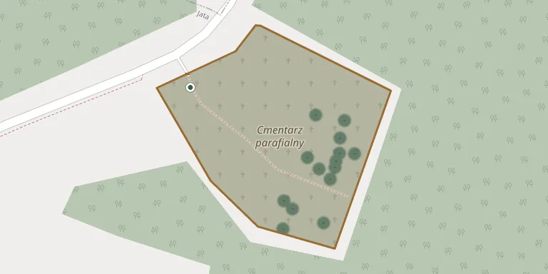
Jata Parish Cemetery
Local name: Jata, cmentarz parafialny
Also known as Cmentarz parafialny, Jata
35
documented records
≈ 170–350
approx. capacity (graves)
8,710 m²
cemetery area
Nov 5, 2026
last modified
About this cemetery
Jata Parish Cemetery lies in Subcarpathian Voivodeship, Poland.
Cemetery location
GPS: GPS coordinates: 50.391508° N, 22.092463° E Directions in Google Maps (opens in a new tab)
Memorials
35 memorials, A–Z by surname.
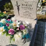 Agnieszka Baran 1902 – 1969
- Jan Baran 1898 – 1975
- Ludwik Baran 1939 – 1979
 Andrzej Czubat 1900 – 1982
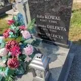 Agnieszka Delekta 1870 – 1963
- Tomasz Delekta 1911 – 1996
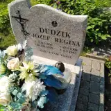 Józef Dudzik 1900 – 1979
- Regina Dudzik 1903 – 1985
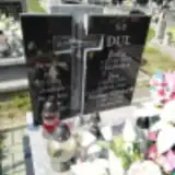
- Jan Dul 1931 – 2020
- Zofia Dul 1933 – 2018
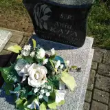 Ania Kata 1993 – 1993
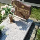 Katarzyna Kobylarz 1901 – 1983
- Zofia Kowal 1917 – 2004
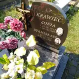 Stanisław Krawiec 1921 – 1986
- Zofia Krawiec 1927 – 2008
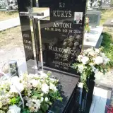 Antoni Kuryś 1946 – 2024
- Agnieszka Markowicz 1912 – 1987
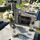 Jan Markowicz 1889 – 1983
- Tomasz Markowicz 1905 – 1974
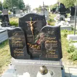 Antoni Paż 1883 – 1966
 Franciszek Piróg 1932 – 2016
- Jan Piróg 1899 – 1968
 Maria Puzio 1906 – 1973
- Tadeusz Puzio 1975 – 2010
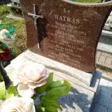 Adam Watras 1891 – 1950
- Edward Watras 1956 – 2023
- Jadwiga Watras 1937 – 2023
- Jan Watras 1968 – 1996
- Kazia Watras 1955 – 1955
- Stanisław Watras 1933 – 1974
- Weronika Watras 1921 – 2004
- Wojciech Watras 1966 – 1967
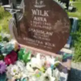 Agnieszka Wilk 1898 – 1984
- Anna Wilk 1940 – 2022
- Stanisław Wilk 1937 – 2023
Looking for someone who isn't listed? Request a photo.
Nearby cemeteries
The closest other burial grounds listed on EveryStone.
- Cholewiana Góra Parish Cemetery 4.8 km away · Cholewiana Góra
- Jeżowe Cemetery 5.1 km away · Jeżowe
- Cisów-Las Roman Catholic Cemetery 6.8 km away · Cisów-Las
- Jeżowe Parish Cemetery 7.1 km away · Jeżowe · 3 records
- Kamień Cemetery 7.5 km away · Kamień
- Nowosielec Multicultural Cemetery 7.7 km away · Nisko
- Nowy Kamień Parish Cemetery 7.8 km away · Nowy Kamień · 47 records
- Nowy Kamień Former Evangelical Cemetery 8.7 km away · Nowy Kamień
- Jeżowe Cemetery 9.0 km away · Jeżowe · 29 records
- Kamień Cemetery 9.7 km away · Kamień
Contribute with the app
Our website works smoothly on both desktop and mobile devices. Prefer a native app? Check it out below.
- Capture clear headstone photos
- Save GPS grave locations automatically
- Transcribe inscriptions with our AI
- Suggest corrections to existing records
Common questions
How big is Jata Parish Cemetery?
Jata Parish Cemetery covers about 8,710 m² (2.2 acres), about the size of a soccer field. It is the 455th largest of the 1,346 cemeteries we list in Subcarpathian Voivodeship.
What is the oldest grave in this cemetery?
The oldest grave among the records we hold for Jata Parish Cemetery is that of Adam Watras, who died on January 19, 1950 at the age of 59.