
Cemetery #195598
Zagrodno Municipal Cemetery
Local name: Zagrodno, cmentarz Gminny
Also known as Cmentarz parafialny w Zagrodnie · Cmentarz parafii Matki Bożej Nieustającej Pomocy i Chrystusa Króla w Zagrodnie
31
documented records
≈ 190–390
approx. capacity (graves)
9,640 m²
cemetery area
Nov 5, 2026
last modified
About this cemetery
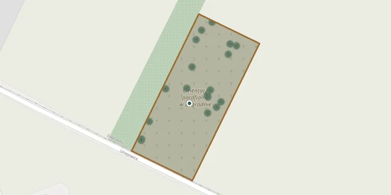
Zagrodno Municipal Cemetery lies in Lower Silesian Voivodeship, Poland.
Cemetery location
GPS: GPS coordinates: 51.182914° N, 15.840717° E Directions in Google Maps (opens in a new tab)
Memorials
31 memorials, A–Z by surname.
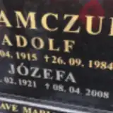 Adolf Adamczuk 1915 – 1984
- Józefa Adamczuk 1921 – 2008
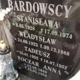 Stanisława Bardowska 1928 – 1974
- Tadeusz Bardowski 1952 – 1952
- Władysław Bardowski 1923 – 1988
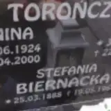 Stefania Biernacka 1888 – 1964
- Anna Boczar 1888 – 1959
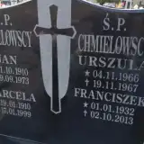 Marcela Chmielowska 1910 – 1999
- Urszula Chmielowska 1966 – 1967
- Franciszek Chmielowski 1932 – 2013
- Jan Chmielowski 1910 – 1973
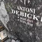 Antoni Dębicki 1937 – 2018
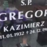 Kazimierz Gregor 1932 – 1988
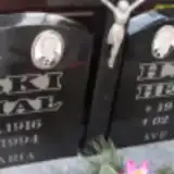 Helena Hyska 1921 – 2014
- Michał Hyski 1916 – 1994
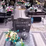 Bronisław Korczak 1947 – 2009
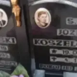 Józefa Koszelowska 1924 – 1999
- Michał Koszelowski 1919 – 1995
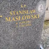 Stanisław Masłowski 1952 – 2014
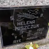 Helena Miszczuk 1917 – 1974
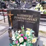 Kazimierz Piwowoński 1950 – 2014
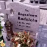 Bogusława Radzięta 1965 – 2015
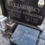 Anna Rajczakowska 1894 – 1967
- Katarzyna Rajczakowska 1927 – 2007
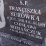 Czesława Romańczuk 1940 – 2009
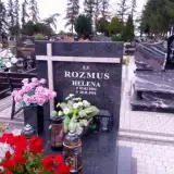 Helena Rozmus 1954 – 2016
- Franciszka Surówka 1908 – 1991
- Janina Torończak 1924 – 2000
- Józef Torończak 1920 – 2008
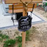 Stanisław Ważny 1931 – 2020
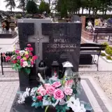 Michał Wiszniowski 1931 – 2018
Looking for someone who isn't listed? Request a photo.
Nearby cemeteries
The closest other burial grounds listed on EveryStone.
- Olszanica Cemetery 4.2 km away · Olszanica · 60 records
- Wojcieszyn Cemetery 4.4 km away · Wojcieszyn
- Modlikowice Parish Cemetery 4.9 km away · Modlikowice · 17 records
- Grodziec Municipal Cemetery 5.7 km away · Grodziec · 12 records
- Nowa Wieś Grodziska Cemetery 5.8 km away · Pielgrzymka · 34 records
- Radziechów Parish Cemetery 5.9 km away · Radziechów · 30 records
- Wojciechów Cemetery 6.3 km away · Wojciechów · 20 records
- Jurków Municipal Cemetery 6.6 km away · Jurków · 15 records
- Brochocin Churchyard 7.0 km away · Brochocin
- Pielgrzymka Cemetery 7.2 km away · Pielgrzymka
Contribute with the app
Our website works smoothly on both desktop and mobile devices. Prefer a native app? Check it out below.
- Capture clear headstone photos
- Save GPS grave locations automatically
- Transcribe inscriptions with our AI
- Suggest corrections to existing records
Common questions
How big is Zagrodno Municipal Cemetery?
Zagrodno Municipal Cemetery covers about 9,640 m² (2.4 acres), about the size of a soccer field. It is the 277th largest of the 1,407 cemeteries we list in Lower Silesian Voivodeship.
What is the oldest grave in this cemetery?
The oldest grave among the records we hold for Zagrodno Municipal Cemetery is that of Tadeusz Bardowski, who died on July 16, 1952 at the age of 0.