
32
documented records
≈ 52–100
approx. capacity (graves)
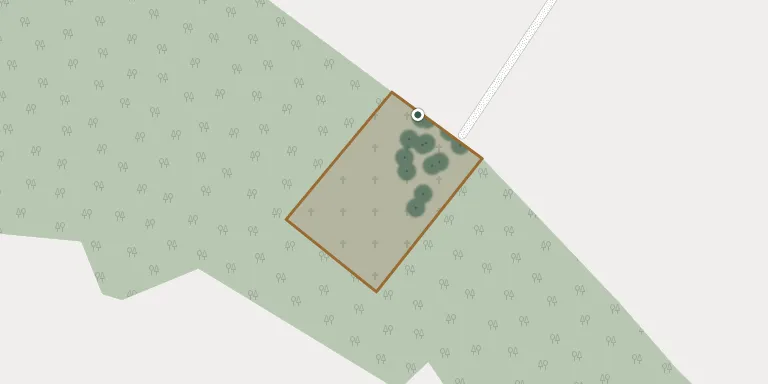
2,610 m²
cemetery area
Nov 5, 2026
last modified
About this cemetery
The cemetery in Naratów (German: Nahrten) dates from the first half of the 19th century. It was originally a Roman Catholic parish cemetery and is now listed as municipal.
Cemetery location
GPS coordinates: 51.686264° N, 16.426892° E Directions in Google Maps (opens in a new tab)
Memorials
32 memorials, A–Z by surname.
 Michał Brzezicki 1880 – 1970
 Jadwiga Głąba 1947 – 1948
- Kazimierz Głąba 1935 – 1998
- Michał Głąba 1907 – 1977
- Zofia Głąba 1912 – 1980
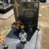 Piotr Gortych 1925 – 2018
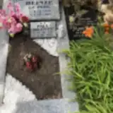 Marta Heinze 1879 – 1964
- Paul Heinze 1863 – 1939
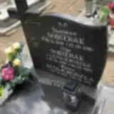 Helena Kitajgrodzka 1897 – 1962
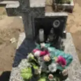 Karolina Knihnicka 1942 – 1954
- Maria Komanowska 1920 – 2001
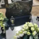 Stefania Kowalska 1903 – 1988
- Piotr Kowalski 1903 – 1959
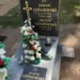 Helena Leśniewska 1934 – 2015
- Stefan Leśniewski 1930 – 2000
- Leśniewski Marek 1957 – 2021
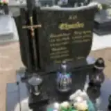 Bogdan Nyczka 1957 – 2010
- Bronisław Nyczka 1925 – 1991
- Krystyna Nyczka 1937 – 2001
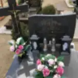 Michalina Palewicz 1918 – 1969
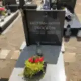 Antoni Procków 1938 – 1985
- Krystyna Procków 1937 – 2015
- Olga Sobierak 1925 – 1974
- Stanisław Sobierak 1926 – 1989
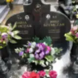 Józef Szymczak 1923 – 1994
- Maria Szymczak 1925 – 2011
 Marian Wosik 1930 – 1995
 Franciszek Wujczak 1913 – 1966
- Helena Wujczak 1914 – 2017
- Dariusz Ząbek 1964 – 1974
- Maria Ząbek 1939 – 2010
 Zofia Zyguszka 1896 – 1980
Looking for someone who isn't listed? Request a photo.
Nearby cemeteries
The closest other burial grounds listed on EveryStone.
- Żuchlów Parish Cemetery 3.4 km away · Żuchlów · 48 records
- Miechów Parish Cemetery 3.8 km away · Miechów · 12 records
- Siciny Parish Cemetery 4.1 km away · Niechlów · 11 records
- Góra Cemetery 6.0 km away · Góra
- Góra Parish Cemetery 6.1 km away · Góra
- Glinka Parish Cemetery (St. Martin) 7.4 km away · Glinka · 19 records
- Luboszyce Parish Cemetery 8.2 km away · Luboszyce
- Góra Parish Cemetery 8.2 km away · Góra · 8 records
- Bełcz Wielki Evangelical Cemetery 8.5 km away · Bełcz Wielki
- Witoszyce Cemetery 8.5 km away · Witoszyce · 89 records
Contribute with the app
Our website works smoothly on both desktop and mobile devices. Prefer a native app? Check it out below.
- Capture clear headstone photos
- Save GPS grave locations automatically
- Transcribe inscriptions with our AI
- Suggest corrections to existing records
Common questions
How big is Naratów Municipal Cemetery?
Naratów Municipal Cemetery covers about 2,610 m² (0.6 acres), about the size of 10 tennis courts. It is the 378th smallest of the 1,407 cemeteries we list in Lower Silesian Voivodeship.
What is the oldest grave in this cemetery?
The oldest grave among the records we hold for Naratów Municipal Cemetery is that of Paul Heinze, who died on June 3, 1939 at the age of 75.