
Cemetery #195669
Cygany Parish Cemetery
Local name: Cygany, cmentarz parafialny
Also known as Cmentarz parafialany
23
documented records
≈ 110–220
approx. capacity (graves)
5,450 m²
cemetery area
Nov 5, 2026
last modified
About this cemetery
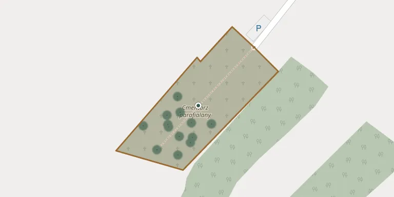
Cygany Parish Cemetery lies in Subcarpathian Voivodeship, Poland.
Cemetery location
GPS: GPS coordinates: 50.507901° N, 21.709587° E Directions in Google Maps (opens in a new tab)
Memorials
23 memorials, A–Z by last name.
 Kazimierz Dryka 1962 – 2001
 Bronisław Koper 1948 – 2001
 Anna Kosmala 1929 – 2021
- Franciszek Kosmala 1921 – 2006
 Franciszek Kozdęba 1930 – 2004
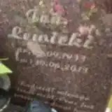 Jan Lewicki 1933 – 2013
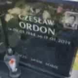 Czesław Ordon 1948 – 2019
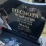 Maria Piechota 1947 – 2017
- Władysław Piechota 1939 – 2009
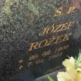 Józef Rożek 1909 – 1993
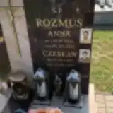 Anna Rozmus 1934 – 2021
- Czesław Rozmus 1953 – 1997
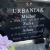 Adam Urbaniak 1968 – 2018
- Michał Urbaniak 1913 – 1997
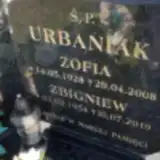 Zbigniew Urbaniak 1954 – 2019
- Zofia Urbaniak 1928 – 2008
- Zofia Urbaniak 1927 – 2020
 Anna Walska 1926 – 2019
- Franciszek Walski 1927 – 2005
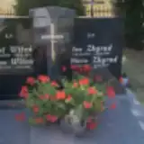 Anna Witoń 1914 – 1996
- Józef Witoń 1909 – 1974
- Jan Zbyrad 1930 – 1994
- Maria Zbyrad ? – 2024
Looking for someone who isn't listed? Request a photo.
Nearby cemeteries
The closest other burial grounds listed on EveryStone.
- Chmielów Parish Cemetery 2.9 km away · Chmielów
- Jadachy Parish Cemetery 3.3 km away · Jadachy
- Siedlisko War Cemetery No. XII 4.2 km away · Siedlisko
- Górki War Cemetery - World War I 4.4 km away · Chmielów
- Alfredówka Roman Catholic Cemetery 5.0 km away · Alfredówka
- Assumption of the Blessed Virgin Mary Parish Cemetery, Ślęzaki 6.4 km away · Ślęzaki
- Piaski Cemetery 6.8 km away · Tarnobrzeg
- St. Mary Magdalene Parish Cemetery, Tarnobrzeg 7.0 km away · Tarnobrzeg
- Stale Parish Cemetery 7.1 km away · Stale
- Tarnobrzeg War Cemetery - World Wars I and II 7.1 km away · Tarnobrzeg
Contribute with the app
Our website works smoothly on both desktop and mobile devices. Prefer a native app? Check it out below.
- Capture clear headstone photos
- Save GPS grave locations automatically
- Transcribe inscriptions with our AI
- Suggest corrections to existing records
Common questions
How big is Cygany Parish Cemetery?
Cygany Parish Cemetery covers about 5,450 m² (1.3 acres), about the size of a soccer field. It is the 672nd largest of the 1,346 cemeteries we list in Subcarpathian Voivodeship.
What is the oldest grave in this cemetery?
The oldest grave among the records we hold for Cygany Parish Cemetery is that of Józef Witoń, who died on June 5, 1974 at the age of 65.