
Cemetery #195797
Borów Parish Cemetery
Local name: Borów, cmentarz parafialny
Also known as Cmentarz ewangelicki (ob. rzymskokatolicki), Borów
23
documented records
≈ 420–840
approx. capacity (graves)
0.021 km²
cemetery area
Nov 5, 2026
last modified
About this cemetery
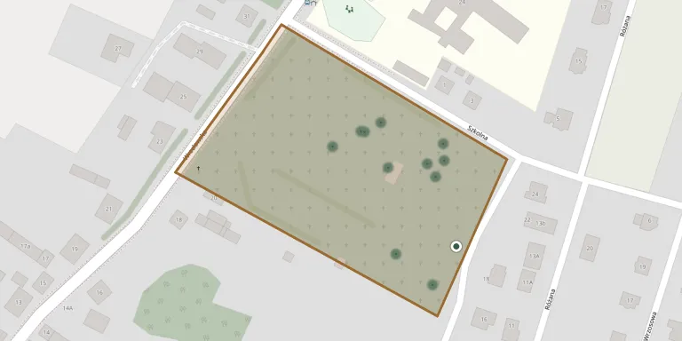
Borów Parish Cemetery lies in Lower Silesian Voivodeship, Poland.
Cemetery location
GPS coordinates: 50.884052° N, 16.994680° E Directions in Google Maps (opens in a new tab)
Memorials
23 memorials, A–Z by surname.
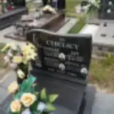 Bronisława Cybulska 1921 – 2012
- Helena Cybulska 1899 – 1985
- Jan Cybulski 1933 – 1947
- Tomasz Cybulski 1898 – 1984
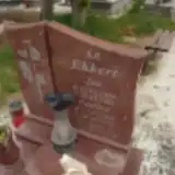 Jan Ekkert 1906 – 1965
- Paulina Ekkert 1903 – 1993
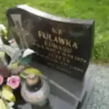 Edward Fuławka 1905 – 1976
- Józefa Fuławka 1910 – 1999
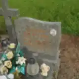 Zygmunt Gilewski 1931 – 2005
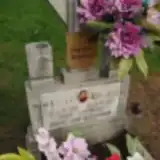 Eugeniusz Jankowski 1951 – 2019
- Marcel Jankowski 1929 – 1955
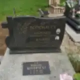 Leokadia Kondracka 1921 – 2005
- Tomasz Kondracki 1869 – 1959
- Walenty Kondracki 1915 – 1955
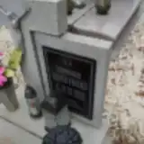 Dominika Kuczyński 1933 – 1988
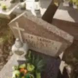 Sabinka Lisowska 1950 – 1950
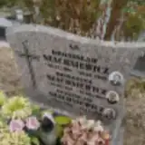 Bronisław Szachniewicz 1909 – 1955
- Romanina Szachniewicz 1920 – 1984
- Stanisław Szachniewicz 1943 – 1985
 Jan Żygadło 1907 – 1991
 Janina Żygadło 1927 – 2006
- Rozalia Żygadło 1910 – 2000
- Zygmunt Żygadło 1929 – 1981
Looking for someone who isn't listed? Request a photo.
Nearby cemeteries
The closest other burial grounds listed on EveryStone.
- Tyniec nad Ślężą komunalny 4.3 km away · Kobierzyce · 6 records
- Tyniec nad Ślężą Cemetery 4.5 km away · Kobierzyce · 1 record
- Borów Parish Cemetery 5.1 km away · Borów · 9 records
- Ludów Śląski Parish Cemetery 5.2 km away · Ludów Śląski · 8 records
- Jaksonow Cemetery 6.0 km away · Jaksonow · 16 records
- Zielenice Cemetery 6.7 km away · Zielenice · 6 records
- Wegry Cemetery 6.9 km away · Wegry · 36 records
- Wilczków Parish Cemetery 9.1 km away · Wilczków · 8 records
- Domaniów Cemetery 9.4 km away · Domaniów · 11 records
- Wilczkowice Evangelical Cemetery (now Roman Catholic) 9.5 km away · Wilczkowice
Contribute with the app
Our website works smoothly on both desktop and mobile devices. Prefer a native app? Check it out below.
- Capture clear headstone photos
- Save GPS grave locations automatically
- Transcribe inscriptions with our AI
- Suggest corrections to existing records
Common questions
How big is Borów Parish Cemetery?
Borów Parish Cemetery covers about 21,000 m² (5.2 acres), about the size of 3 soccer fields. It is the 115th largest of the 1,407 cemeteries we list in Lower Silesian Voivodeship.
What is the oldest grave in this cemetery?
The oldest grave among the records we hold for Borów Parish Cemetery is that of Jan Cybulski, who died on June 14, 1947 at the age of 13.