
18
documented records
≈ 240–480
approx. capacity (graves)
0.012 km²
cemetery area
Nov 5, 2026
last modified
About this cemetery
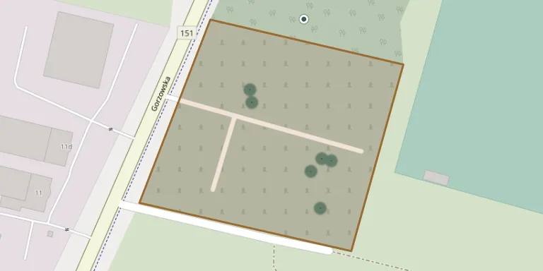
The parish cemetery in Kłodawa was laid out in 1793 on a rise above the Rgilewka river. It belongs to the parish of the Assumption of the Blessed Virgin Mary. A survey of the cemetery has produced a map and plans based on geodetic measurement, along with a list of the people buried there.
Cemetery location
GPS coordinates: 52.793926° N, 15.217117° E Directions in Google Maps (opens in a new tab)
Memorials
18 memorials, A–Z by surname.
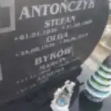 Olga Antończyk 1926 – 2019
- Stefan Antończyk 1926 – 1989
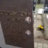 Edward Arosimczyk 1912 – 2001
- Julia Arosimczyk 1922 – 2016
- Aksenia Byków 1896 – 1989
- Marcin Byków 1892 – 1974
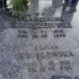 Regina Kruszewska 1929 – 2011
- Franciszek Kruszewski 1913 – 1993
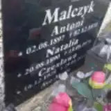 Antoni Malczyk 1897 – 1970
- Czesława Malczyk 1928 – 2014
- Natalia Malczyk 1890 – 1974
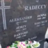 Janina Radecka 1920 – 2012
- Aleksander Radecki 1913 – 1993
- Bartosz Radecki 1980 – 1982
- Jerzy Radecki 1951 – 2011
- Wojciech Radecki 1953 – 1954
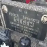 Czesław Segen 1909 – 1976
- Zofia Segen 1913 – 1988
Looking for someone who isn't listed? Request a photo.
Nearby cemeteries
The closest other burial grounds listed on EveryStone.
- Gorzów Wielkopolski Municipal Cemetery 4.9 km away · Gorzów Wielkopolski · 9 records
- Gorzów Wielkopolski Hospital Cemetery 5.2 km away · Gorzów Wielkopolski
- Gorzów Wielkopolski War Cemetery 5.7 km away · Gorzów Wielkopolski · 9 records
- Gorzów Wielkopolski Former Evangelical Cemetery Lapidarium 6.1 km away · Gorzów Wielkopolski
- Holy Cross Cemetery, Gorzów Wielkopolski 6.8 km away · Gorzów Wielkopolski · 24 records
- Różanki Churchyard 7.2 km away · Różanki
- Gorzów Wielkopolski Jewish Cemetery 7.4 km away · Gorzów Wielkopolski
- Baczyna Municipal Cemetery 7.5 km away · Gorzów Wielkopolski
- Łośno Roman Catholic Cemetery 7.6 km away · Łośno
- Marwice Cemetery 7.8 km away · Marwice
Contribute with the app
Our website works smoothly on both desktop and mobile devices. Prefer a native app? Check it out below.
- Capture clear headstone photos
- Save GPS grave locations automatically
- Transcribe inscriptions with our AI
- Suggest corrections to existing records
Common questions
How big is Kłodawa Cemetery?
Kłodawa Cemetery covers about 12,000 m² (2.9 acres), about the size of 2 soccer fields. It is the 99th largest of the 615 cemeteries we list in Lubusz Voivodeship.
What is the oldest grave in this cemetery?
The oldest grave among the records we hold for Kłodawa Cemetery is that of Wojciech Radecki, who died in 1954 at the age of 1.