
18
documented records
≈ 89–180
approx. capacity (graves)
4,430 m²
cemetery area
Nov 5, 2026
last modified
About this cemetery
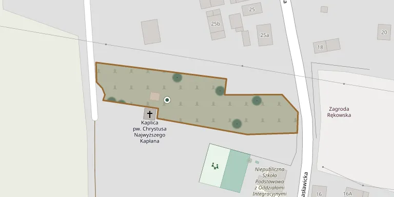
The cemetery in Ręków, Lower Silesia, covers about 5 hectares. Its first burial took place in 1856 and the last in 1942.
Cemetery location
GPS coordinates: 50.926408° N, 16.832502° E Directions in Google Maps (opens in a new tab)
Memorials
18 memorials, A–Z by surname.
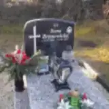 Irena Bronowicka 1941 – 2017
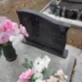 Barbara Chorążyczewska 1905 – 2000
- Dominik Chorążyczewski 1904 – 2002
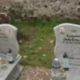 Stanisława Jakubowska 1932 – 2011
- Ferdynand Jakubowski 1924 – 2018
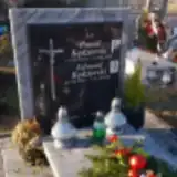 Edward Kędzierski 1952 – 2008
- Paweł Kędzierski 1976 – 2018
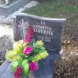 Andrzej Kopernik 1964 – 2008
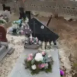 Stanisława Lewandowska 1897 – 1993
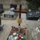 Maria Nykiel 1935 – 2022
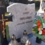 Józef Siekański 1946 – 2021
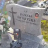 Zuzanna Świątecka 1955 – 2022
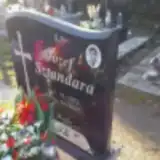 Józef Sztandara 1952 – 2013
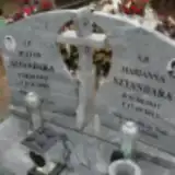 Julian Sztandara 1941 – 2020
- Marianna Sztandara 1937 – 2013
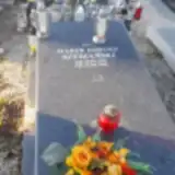 Marek Szymański 1955 – 2018
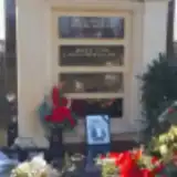 Maria Żaba 1926 – 2023
- Mirosława Żaba 1964 – 2020
Looking for someone who isn't listed? Request a photo.
Nearby cemeteries
The closest other burial grounds listed on EveryStone.
- Wilczkowice Evangelical Cemetery (now Roman Catholic) 4.3 km away · Wilczkowice
- Wierzbice Cemetery 4.5 km away · Wierzbice
- Nasławice Parish Cemetery 4.7 km away · Nasławice
- Mirosławice Evangelical Cemetery (now Roman Catholic) 5.2 km away · Mirosławice
- Rogów Sobócki Evangelical Cemetery (now Roman Catholic) 5.4 km away · Rogów Sobócki
- Rogów Sobócki Parish Cemetery 6.0 km away · Rogów Sobócki
- Świątniki Cemetery 6.6 km away · Świątniki · 1 record
- Gniechowice St. Philomena Parish Cemetery 6.7 km away · Gniechowice
- Jordanów Śląski Parish Cemetery 7.0 km away · Jordanów Śląski · 15 records
- Zachowice Roman Catholic Cemetery 7.1 km away · Zachowice
Contribute with the app
Our website works smoothly on both desktop and mobile devices. Prefer a native app? Check it out below.
- Capture clear headstone photos
- Save GPS grave locations automatically
- Transcribe inscriptions with our AI
- Suggest corrections to existing records
Common questions
How big is Ręków Cemetery?
Ręków Cemetery covers about 4,430 m² (1.1 acres), about half the size of a soccer field. It is the 700th smallest of the 1,407 cemeteries we list in Lower Silesian Voivodeship.
What is the oldest grave in this cemetery?
The oldest grave among the records we hold for Ręków Cemetery is that of Stanisława Lewandowska, who died on January 2, 1993 at the age of 95.