
8
documented records
≈ 120–230
approx. capacity (graves)
5,770 m²
cemetery area
Nov 5, 2026
last modified
About this cemetery
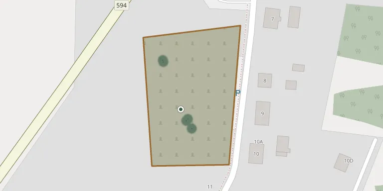
A municipal cemetery in Święta Lipka, Warmian-Masurian Voivodeship, for which an inventory with a map and plans has been prepared.
Cemetery location
GPS: GPS coordinates: 54.026693° N, 21.219155° E Directions in Google Maps (opens in a new tab)
Memorials
8 memorials, A–Z by surname.
 Maria Harpak 1899 – 1976
 Helena Mazura 1921 – 1993
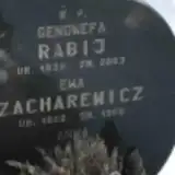 Genowefa Rabij 1933 – 2003
 Janina Szczepańska 1925 – 2019
- Mieczysław Szczepański 1923 – 1982
- Tadeusz Szczepański 1934 – 1948
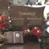 Zdzisław Tymiński 1930 – 2017
- Ewa Zacharewicz 1909 – 1968
Looking for someone who isn't listed? Request a photo.
Nearby cemeteries
The closest other burial grounds listed on EveryStone.
- Bezławki Evangelical Cemetery 3.4 km away · Bezławki
- Pilec Evangelical Cemetery 4.4 km away · Pilec
- Reszel Municipal Cemetery 5.6 km away · Reszel
- Reszel Evangelical Cemetery 5.7 km away · Reszel
- Wilkowo Evangelical Cemetery 5.8 km away · Wilkowo
- Reszel Municipal Cemetery 5.9 km away · Reszel
- Wilkowo Roman Catholic Cemetery 6.0 km away · Wilkowo
- Leginy Parish Cemetery 6.4 km away · Leginy
- Kętrzyn World War I War Cemetery 11 km away · Kętrzyn
- Mała Nowa Wieś Municipal Cemetery 11 km away · Kętrzyn
Contribute with the app
Our website works smoothly on both desktop and mobile devices. Prefer a native app? Check it out below.
- Capture clear headstone photos
- Save GPS grave locations automatically
- Transcribe inscriptions with our AI
- Suggest corrections to existing records
Common questions
How big is Święta Lipka Cemetery?
Święta Lipka Cemetery covers about 5,770 m² (1.4 acres), about the size of a soccer field. It is the 322nd largest of the 978 cemeteries we list in Warmian-Masurian Voivodeship.
What is the oldest grave in this cemetery?
The oldest grave among the records we hold for Święta Lipka Cemetery is that of Tadeusz Szczepański, who died on February 14, 1948 at the age of 13.