
Cemetery #196779
Sieniawa Jewish Cemetery
Local name: Sieniawa, cmentarz żydowski
Also known as Cmentarz Żydowski, Sieniawa · Cmentarz żydowski w Sieniawie
0
documented records
≈ 310–620
approx. capacity (graves)
0.015 km²
cemetery area
Oct 18, 2026
last modified
About this cemetery
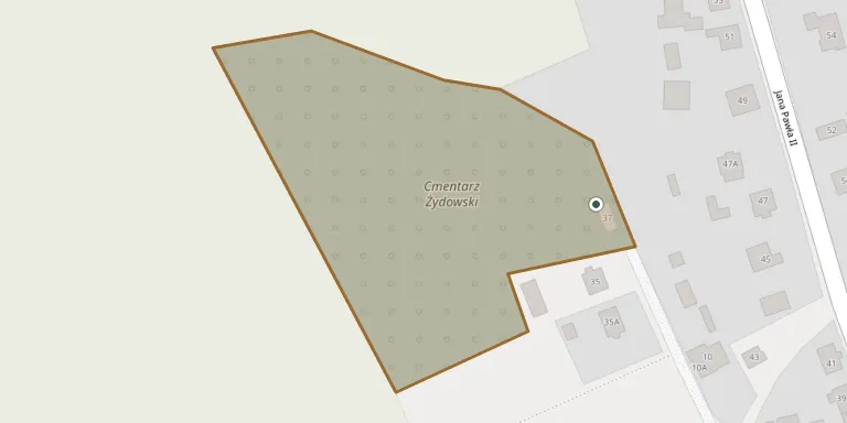
The Jewish cemetery in Sieniawa was founded in the second half of the 17th century, shortly after the town received its charter in 1676, on a plot north-west of the town. It covers 0.9 hectares and has about 800 tombstones. During the Second World War the wall and building were destroyed, some tombstones were removed, and executions and burials took place there.
Cemetery location
GPS: 50.183555° N, 22.606197° E Directions in Google Maps (opens in a new tab)
Memorials
No records yet
Photograph a headstone and add it to the archive.
Looking for someone who isn't listed? Request a photo.
Nearby cemeteries
The closest other burial grounds listed on EveryStone.
- Assumption of the Blessed Virgin Mary Parish Cemetery, Sieniawa 840 m away · Sieniawa · 440 records
- Pigany War Cemetery 2.7 km away · Pigany
- Rudka Roman Catholic Cemetery 4.5 km away · Rudka
- Leżachów Greek Catholic Cemetery (now Roman Catholic) 4.6 km away · Leżachów
- Leżachów Cholera Cemetery 4.9 km away · Leżachów
- Tryńcza Cemetery 4.9 km away · Tryńcza
- Czerce World War I Cemetery 4.9 km away · Czerce
- Leżachów War Cemetery from World War I 5.0 km away · Leżachów
- Gorzyce Roman Catholic Cemetery 5.3 km away · Gorzyce
- Dobra Cemetery 5.9 km away · Czerce
Contribute with the app
Our website works smoothly on both desktop and mobile devices. Prefer a native app? Check it out below.
- Capture clear headstone photos
- Save GPS grave locations automatically
- Transcribe inscriptions with our AI
- Suggest corrections to existing records
Common questions
How big is Sieniawa Jewish Cemetery?
Sieniawa Jewish Cemetery covers about 15,000 m² (3.8 acres), about the size of 2 soccer fields. It is the 205th largest of the 1,346 cemeteries we list in Subcarpathian Voivodeship.