
Cemetery #198116
Santa Catarina da Serra Cemetery
Local name: Cemitério de Santa Catarina da Serra
238
documented records
≈ 240–360
approx. capacity (graves)
5,970 m²
cemetery area
Oct 29, 2026
last modified
About this cemetery
A genealogical study notes that the current public cemetery of Santa Catarina da Serra, in the municipality of Leiria, holds burials dating from 1919 to 2025.
Cemetery location
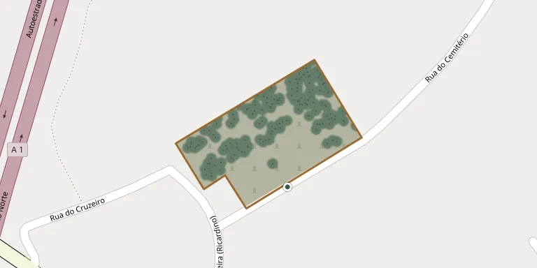
GPS: GPS coordinates: 39.674024° N, 8.682680° W Directions in Google Maps (opens in a new tab)
Memorials
Showing the first 50 of 238, A–Z by last name. Search all records
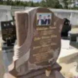 João Alves 1930 – 2017
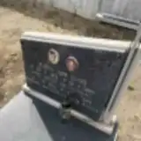 Maria Alves 1919 – 1986
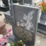 António Batista 1920 – 1975
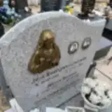 Maria Batista 1916 – 2010
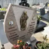 Maria Batista 1926 – 2016
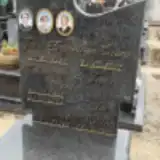 Conceição Benta 1920 – 2005
- Adelina Bento 1933 – 2017
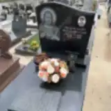 Maria Brás Da Silva Costa 1936 – 2018
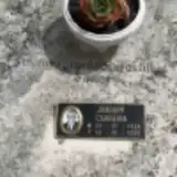 Joaquim Carreira 1924 – 1995
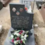 Jorge Carreira 1914 – 1996
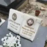 Júlia Carreira 1922 – 2006
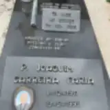 Joaquim Carreira Faria 1917 – 1995
 Marques Conceição de Jesus 1929 – 2011
 Noé Constantino 1962 – 2017
 José Costa 1892 – 1936
 Maria Costa 1915 – 1991
- Maria Costa 1929 – 1971
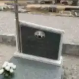 Jorge da Conceição 1919 – 2005
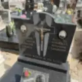 Maria Da Conceição 1912 – 2006
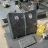 Maria da Conceição Gonçalves 1936 – 2018
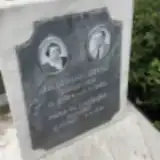 Maria da Conceicao Machado 1902 – 1958
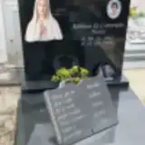 Adelina Da Conceição Neves 1947 – 2016
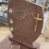 Vitoria Da Purificaçao Gordo 1927 – 1978
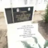 Júlia Da Salvação 1902 – 1965
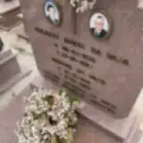 Joaquim da Silva 1921 – 2008
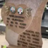 Luciano da Silva Brás 1928 – 2016
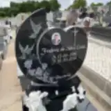 Frederic Da Silva Costa 1980 – 2018
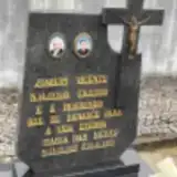 Maria das Neves 1925 – 2009
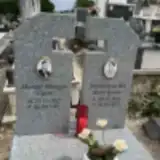 Maria Das Neves Santos 1936 – 2013
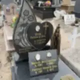 Faustino de Jesus 1897 – 1966
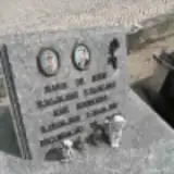 Maria de Jesus 1902 – 1973
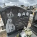 Rosária de Jesus 1896 – 1990
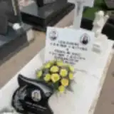 Teresa de Jesus 1885 – 1979
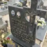 Deolinda de Jesus Almeida 1916 – 2000
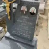 Maria de Jesus Gonçalves 1928 – 1997
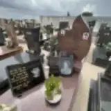 Teresa de Jesus Gonçalves Vicente 1952 – 2022
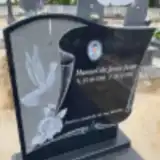 Manuel De Jesus Jorge 1946 – 2021
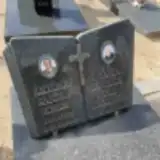 Maria de Jesus José 1913 – 2010
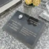 Lucia De Jesus Martins 1930 – 2005
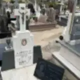 Conceiçao De Jesus Nazare 1928 – 1962
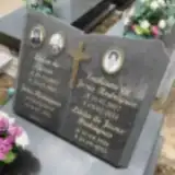 Lúcia de Jesus Rodrigues 1941 – 2015
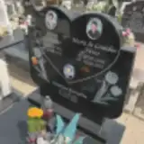 Maria de Lourdes Neves 1939 – 2017
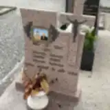 Rosa De Melo Lopes 1921 – 1995
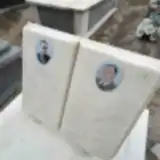 Joaquim de Oliveira 1939 – 1976
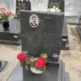 António De Oliveira 1943 – 1999
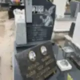 José de Oliveira Gonçalves 1918 – 1984
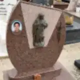 David De Oliveira Gonçalves 1953 – 2002
- António de Oliveira Neves 1916 – 1966
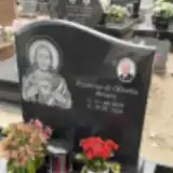 Francisco de Oliveira Pereira 1939 – 2020
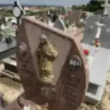 Amélia dos Santos 1929 – 2000
Looking for someone who isn't listed? Request a photo.
Nearby cemeteries
The closest other burial grounds listed on EveryStone.
- Chainça Cemetery 2.2 km away · Chainça · 16 records
- Fontainhas Cemetery 3.7 km away · Fontainhas
- Vale Sumo Cemetery 3.8 km away · Vale Sumo
- Arrabal Cemetery 4.6 km away · Arrabal · 163 records
- Cercal Cemetery 4.8 km away · Cercal
- São Mamede Cemetery 6.2 km away · São Mamede
- Fátima Cemetery 6.8 km away · Fátima
- Zambujal Cemetery 7.2 km away · Zambujal
- Torre Cemetery 7.4 km away · Reguengo do Fetal
- Pisão Cemetery 7.8 km away · Matas
Contribute with the app
Our website works smoothly on both desktop and mobile devices. Prefer a native app? Check it out below.
- Capture clear headstone photos
- Save GPS grave locations automatically
- Transcribe inscriptions with our AI
- Suggest corrections to existing records
Common questions
How big is Santa Catarina da Serra Cemetery?
Santa Catarina da Serra Cemetery covers about 5,970 m² (1.5 acres), about the size of a soccer field. It is the 47th largest of the 210 cemeteries we list in Leiria.
What is the oldest grave in this cemetery?
The oldest grave among the records we hold for Santa Catarina da Serra Cemetery is that of Manuel Santos Silva, who died on July 31, 1934 at the age of 49.