
18
documented records
≈ 67–130
approx. capacity (graves)
3,370 m²
cemetery area
Nov 5, 2026
last modified
About this cemetery
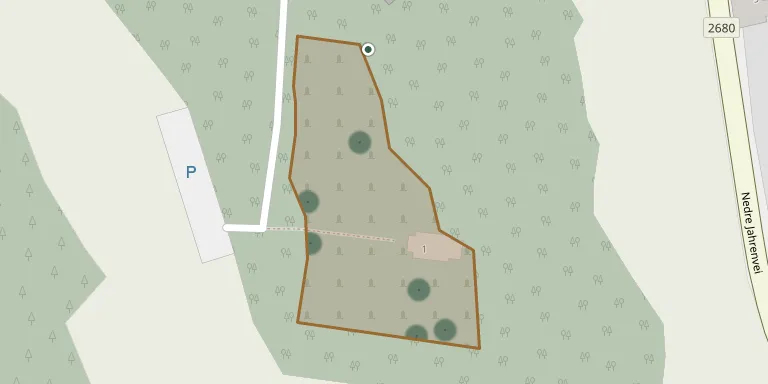
Holmsbu churchyard lies south of Holmsbu church, about 500 metres east of the Drammensfjord, and is one of four burial grounds in the former Hurum municipality. The owners of Holm farm donated the land for the church and churchyard. Construction of the church began in August 1886 and was completed in March 1887.
Cemetery location
GPS coordinates: 59.556599° N, 10.436700° E Directions in Google Maps (opens in a new tab)
Memorials
18 memorials, A–Z by surname.
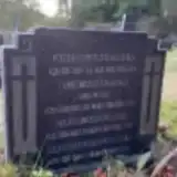 Anton Andersen 1879 – 1932
- Einar Andersen 1921 – 1956
- Elin Andersen 1879 – 1925
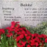 Erling Bakke 1897 – 1981
- Ingeborg Bakke 1896 – 1979
- Kirsten Bakke 1936 – 2013
- Knut Bakke 1932 – 2017
- Marie Bakke 1930 – 2001
 Thor Burud 1933 – 2002
- Ragnhild Eliassen 1911 – 1985
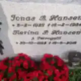 Jonas Hansen 1929 – 1984
- Merina Hansen 1922 – 2018
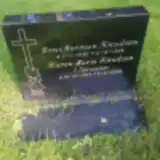 Hans Knudsen 1930 – 1986
- Karen Knudsen 1923 – 2009
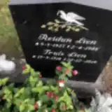 Reidun Lien 1927 – 1986
- Truls Lien 1918 – 2019
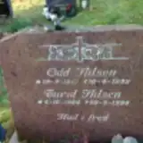 Odd Nilsen 1917 – 1999
- Turid Nilsen 1914 – 1999
Looking for someone who isn't listed? Request a photo.
Nearby cemeteries
The closest other burial grounds listed on EveryStone.
- Berger Cemetery 3.0 km away · Bryggeåsen
- Svelvik Churchyard 6.5 km away · Svelvik
- Hurum Churchyard 6.6 km away · Klokkarstua · 54 records
- Ebbestad Cemetery 7.3 km away · Sverstad
- Filtvet Churchyard 9.1 km away · Filtvet
- Den Hellige Ånds Kirke 10 km away · Holmestrand
- Bilet kapell 10 km away · Holmestrand
- Botne Cemetery 12 km away · Holmestrand · 92 records
- Sande In Vestfold Cemetery 13 km away · Sandefjord
- Grytnesfeltet Cemetery 14 km away · Sætre · 78 records
Contribute with the app
Our website works smoothly on both desktop and mobile devices. Prefer a native app? Check it out below.
- Capture clear headstone photos
- Save GPS grave locations automatically
- Transcribe inscriptions with our AI
- Suggest corrections to existing records
Common questions
How big is Holmsbu Kirke?
Holmsbu Kirke covers about 3,370 m² (0.8 acres), about half the size of a soccer field. It is the 13th smallest of the 79 cemeteries we list in Buskerud.
What is the oldest grave in this cemetery?
The oldest grave among the records we hold for Holmsbu Kirke is that of Elin Andersen, who died on June 25, 1925 at the age of 45.