
62
documented records
≈ 240–470
approx. capacity (graves)
0.012 km²
cemetery area
Nov 5, 2026
last modified
About this cemetery
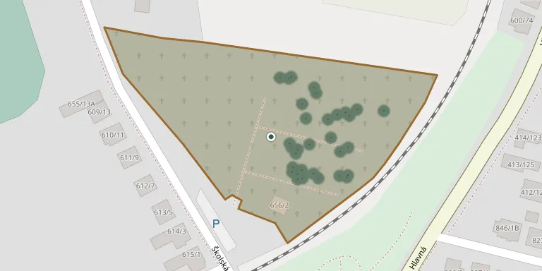
This cemetery serves the former village of Tesáre nad Žitavou, now part of Tesárske Mlyňany, a municipality formed by joining Tesáre nad Žitavou and Mlyňany.
Cemetery location
GPS coordinates: 48.341095° N, 18.357312° E Directions in Google Maps (opens in a new tab)
Memorials
Showing the first 50 of 62, A–Z by surname. Search all records
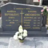 Vincent Andor 1928 – 1951
 Františka Bajanová 1926 – 1997
 Barbora Behula 1871 – 1918
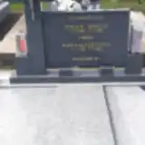 Štefan Behula 1920 – 1983
- Mária Behulová 1919 – 1993
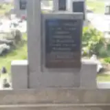 Pavel Chmelo 1896 – 1959
- Barbora Chmelová 1896 – 1973
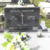 Ján Čikkel 1924 – 2005
- Alžbeta Čikkelová 1923 – 2008
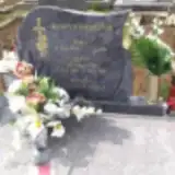 Emil Danko 1940 – 2006
- Agáta Danková 1940 – 1989
 Mária Gyulaiová 1878 – 1968
 Michal Halanda 1909 – 1960
- Mária Halandová 1915 – 1994
 Mikuláš Hitka 1910 – 1991
- Helena Hitková 1920 – 1990
- Alžbeta Horvátová-Gyulaiová 1907 – 1967
 Ján Ivanič 1897 – 1975
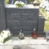 Lukáč Ivanička 1898 – 1974
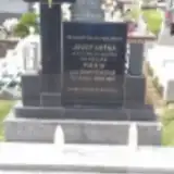 Mária Ivaničková 1912 – 1979
- Mária Ivaničová ? – 1979
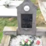 Michal Kardoš 1886 – 1952
- Ivaničková Katarína 1899 – 1977
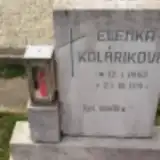 Elenka Koláriková 1952 – 1953
- Jozef Kuťka 1903 – 1973
 Štefan Kuťka 1937 – 1973
 Levický Laurinec 1926 – 2012
 Ernest Ludva 1908 – 1985
 Mária Masárová 1896 – 1985
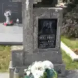 Ondrej Meňhart 1877 – 1950
- Mária Meňhartová 1881 – 1971
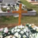 Josef Muzík 1951 – 2006
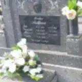 Veronika Palková 1916 – 1984
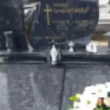 Vincent Palovčík 1943 – 2013
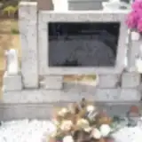 Magdaléna Pavlovičová 1937 – 1991
- Vratko Rajnoha 1985 – 1985
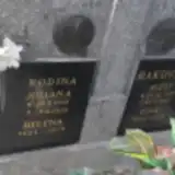 Helena Rakovská 1894 – 1978
- Juliana Rakovská 1928 – 2018
- Ignác Rakovský 1892 – 1965
- Jozef Rakovský 1927 – 1995
- Gabriel Rosinsky 1948 – 1972
- Gabriel Rosinský 1923 – 2011
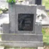 Jozef Sarka 1930 – 1976
- Anna Sarková 1930 – 2012
- Františka Sarková 1891 – 1970
- Dana Šebeňová 1964 – 2018
- Ľubica Šeptáková 1957 – 2010
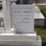 Jozef Šimon 1936 – 1964
- Alžbeta Šimonová 1942 – 2011
- Barbora Solčianská 1906 – 1978
Looking for someone who isn't listed? Request a photo.
Nearby cemeteries
The closest other burial grounds listed on EveryStone.
- Mlyňany Cemetery 1.0 km away · Tesárske Mlyňany · 62 records
- Vieska nad Žitavou Cemetery 2.7 km away · Vieska nad Žitavou
- Choča Cemetery 3.2 km away · Choča
- Slepčany Cemetery 3.3 km away · Slepčany · 874 records
- Chyzerovce Cemetery 4.1 km away · Zlaté Moravce · 5 records
- Beladice Cemetery 4.1 km away · Beladice
- Malé Chrášťany 4.2 km away · Beladice · 9 records
- Červený Hrádok Cemetery 4.7 km away · Červený Hrádok · 27 records
- Malé Vozokany 4.9 km away · Malé Vozokany · 12 records
- Čierne Kľačany 4.9 km away · Čierne Kľačany
Contribute with the app
Our website works smoothly on both desktop and mobile devices. Prefer a native app? Check it out below.
- Capture clear headstone photos
- Save GPS grave locations automatically
- Transcribe inscriptions with our AI
- Suggest corrections to existing records
Common questions
How big is Tesáre nad Žitavou?
Tesáre nad Žitavou covers about 12,000 m² (2.9 acres), about the size of 2 soccer fields. It is the 154th largest of the 467 cemeteries we list in Region of Nitra.
What is the oldest grave in this cemetery?
The oldest grave among the records we hold for Tesáre nad Žitavou is that of Barbora Behula, who died on November 6, 1918 at the age of 47.