
9
documented records
≈ 160–330
approx. capacity (graves)
8,150 m²
cemetery area
Nov 5, 2026
last modified
About this cemetery
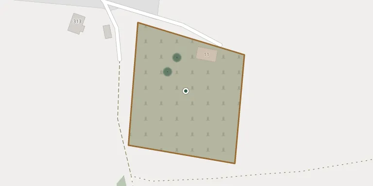
Demjata Cemetery lies in Region of Prešov, Slovakia.
Cemetery location
GPS coordinates: 49.103946° N, 21.317915° E Directions in Google Maps (opens in a new tab)
Memorials
9 memorials, A–Z by surname.
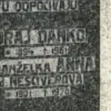 Juraj Danko 1894 – 1961
- Anna Danková 1901 – 1970
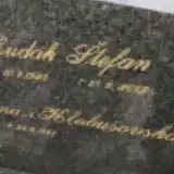 Štefan Hudák 1938 – 2012
 Štefan Leško 1902 – 1970
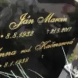 Ján Marcin 1932 – 2017
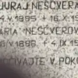 Juraj Neščvera 1895 – 1955
- Mária Neščverová 1886 – 1965
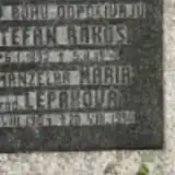 Štefan Rákoš 1892 – 1940
- Mária Rakosová 1901 – 1990
Looking for someone who isn't listed? Request a photo.
Nearby cemeteries
The closest other burial grounds listed on EveryStone.
- Tulčík Cemetery 1.4 km away · Tulčík
- Tulčík Old Cemetery 1.9 km away · Tulčík
- Podhorany Cemetery 3.4 km away · Podhorany
- Chmeľovec Old Cemetery 3.9 km away · Chmeľovec
- Chmeľovec New Cemetery 4.2 km away · Chmeľovec
- Šarišská Trstená Roman Catholic Cemetery 5.3 km away · Šarišská Trstená
- Proč Cemetery 5.5 km away · Proč
- Lopúchov Cemetery 5.5 km away · Lopúchov
- Raslavice Cemetery 5.6 km away · Raslavice
- Raslavice New Jewish Cemetery 5.6 km away · Nižné Raslavice
Contribute with the app
Our website works smoothly on both desktop and mobile devices. Prefer a native app? Check it out below.
- Capture clear headstone photos
- Save GPS grave locations automatically
- Transcribe inscriptions with our AI
- Suggest corrections to existing records
Common questions
How big is Demjata Cemetery?
Demjata Cemetery covers about 8,150 m² (2 acres), about the size of a soccer field. It is the 185th largest of the 668 cemeteries we list in Region of Prešov.
What is the oldest grave in this cemetery?
The oldest grave among the records we hold for Demjata Cemetery is that of Štefan Rákoš, who died on February 5, 1940 at the age of 48.